Explore
Hattah - Kulkyne National Park
Hattah-Kulkyne National Park lies in typical mallee country with extensive low scrub and open native pine woodland. Superbly adapted birds, animals and vegetation thrive in the poor, sandy soils and searing summers.
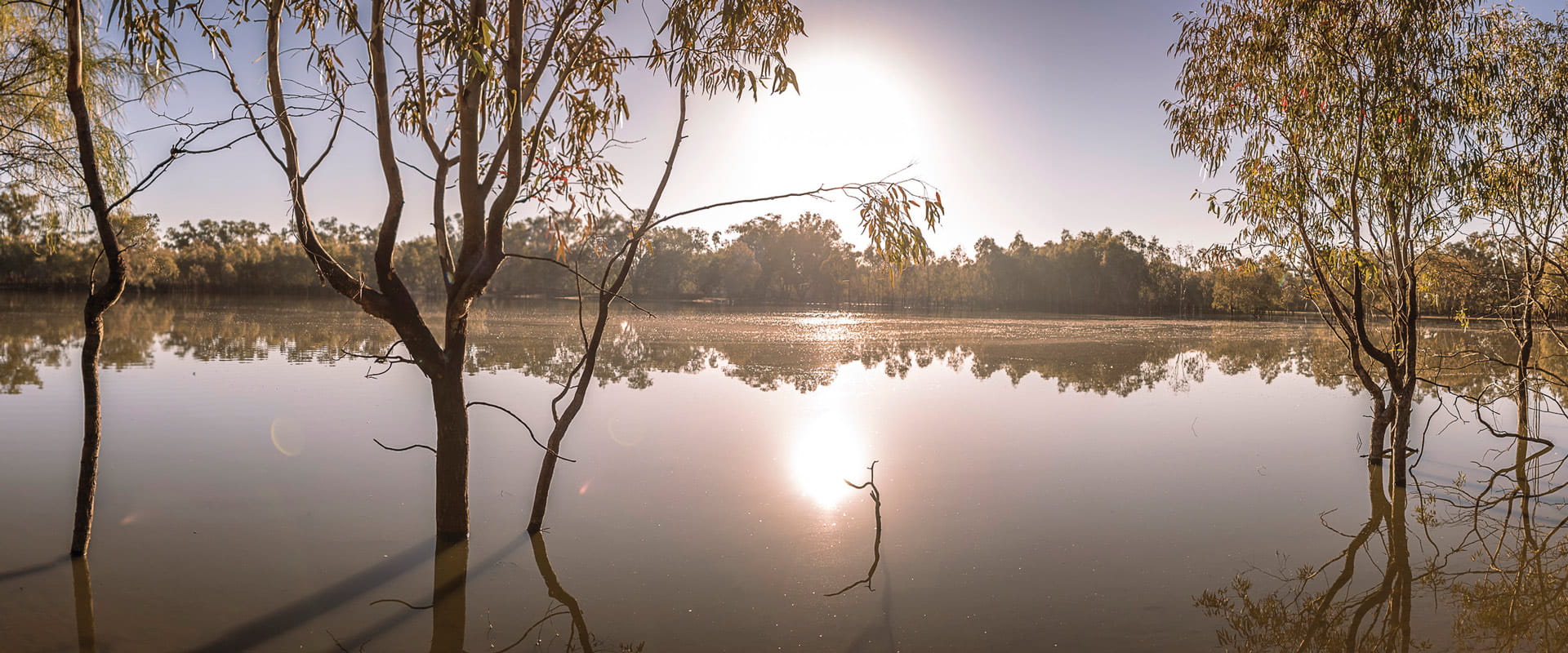
The freshwater Hattah Lakes is seasonally filled by creeks connected to the Murray, providing food and shelter for waterbirds and fish. These lakes can remain full for up to ten years without flooding, but flooding generally occurs once every two years.
Camping, walking, bike riding and canoeing are popular here and in the adjoining Murray-Kulkyne Park.
Things to do
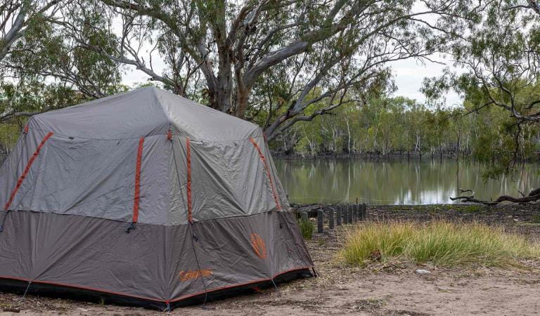
Lake Mournpall Camping Area
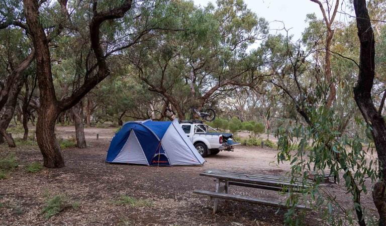
Lake Hattah Camping Area
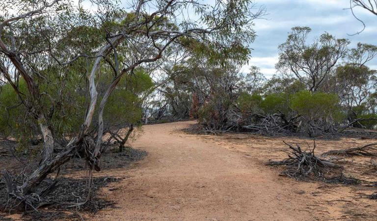
Walking in Hattah-Kulkyne National Park
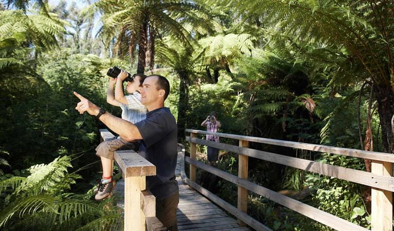
Bird watching
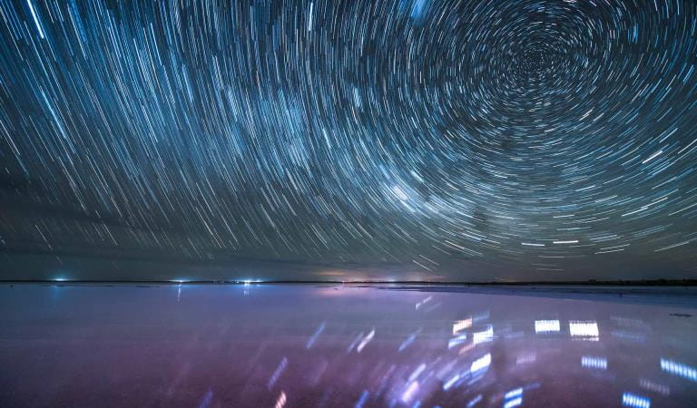
Stargazing
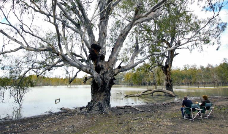
Camping in Hattah-Kulkyne National Park
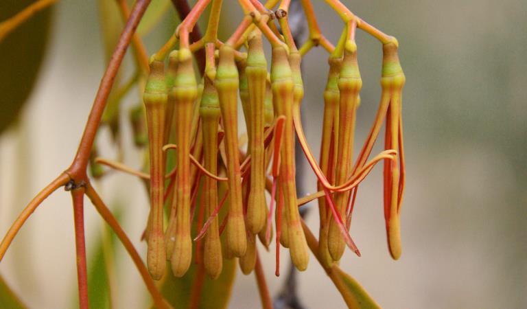
Wildflowers
Wildlife and Nature
This area is well known for its wildlife. Keep an eye out for:
Tours and adventure experiences in parks
One of the best ways you can get into nature is with a Licensed Tour Operator.
There are more than 400 Licensed Tour Operators across Victoria who are ready and waiting to help you experience and connect with Victoria’s spectacular parks and waterways.
Discover more than 60 different types of nature-based experiences including hiking, mountain biking, boating, four-wheel driving, indigenous culture tours, birdwatching, surfing, diving and so much more.
Licensed Tour Operators know all the best places to go and will plan and prepare your visit to ensure you are safe and can enjoy your nature-based adventure to the fullest.
How to get there
Hattah - Kulkyne National Park
When you're there
Need to know
Hattah - Kulkyne National Park
Accessibility
Change of Conditions
Nature being nature, sometimes conditions can change at short notice. It’s a good idea to check this page ahead of your visit for any updates.
-
Notices Affecting Multiple Sites
Park Closure - Conservation Program
Due to a conservation program Hattah-Kulkyne National Park including Lake Hattah and Lake Mournpall campgrounds, will be closed Saturday 6th & Sunday 7th December 2025. Bookings for the campgrounds have been blocked for this period.Closure signs will be in place on all main entry points into the park.Please refer to the attached map for more details.Murray Kulkyne Park will remain fully open allowing access to camping along the river bends. If staying in the Murray Kulkyne Park, please ensure you don't cross River Track into the Hattah-Kulkyne National Park during this closure for your own safety.Appreciate your patience & supportAttachments: Hattah Kulkyne National Park and Murray Kulkyne Outline Map (347KB)
How we keep it special
The Mallee and River Red Gum Parks Conservation Action Plans provide directions for environmental conservation management across the diverse landscape. The Mallee plan focuses on the heathlands on sand dunes, saline soaks, woodlands, riverine and lake systems. The River Red Gum Plan looks at landscapes which are supported by the Murray River from dry and riverine forests to woodlands, freshwater and saline wetlands.


