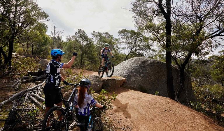
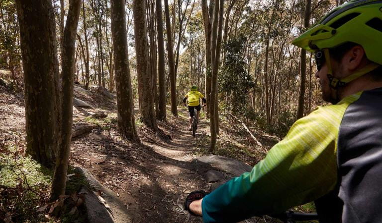
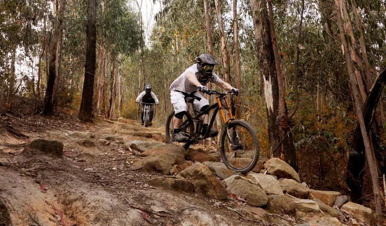
The peaceful bushland and steep rocky terrain makes Arthurs Seat State Park an exciting mountain bike destination. The combination of single-track and management vehicle tracks provides opportunities for mountain bike riders of all abilities.
The park has over 20 kilometres of mountain biking trail that connects in with the broader management vehicle network. The trails can be enjoyed individually, with friends or you can join a local riding club. Remember to choose trails suited to your riding ability.
There are three options to start your mountain bike trail experience. These are marked on the map contained in the fact sheet below.
Seawinds Mountain Bike Carpark, Purves Road, Arthurs Seat. Trail information can be found at the trail head inside the main gate from the carpark. There are toilets, however please bring your own drinking water.
Arthurs Seat Road Carpark, 2.7km east of Arthurs Seat Lookout – from here you can access the parks’ eastern trails easily. Trail information can be found inside the gate. There are no toilets available. Please bring your own drinking water.
Boundary Road Carpark, Hillview Community Reserve, Boundary Road, Dromana. Here you will find toilets, drinking water and a bike maintenance station. The start of the trails is found 400m south (uphill) of the carpark. Trail information is found inside the park boundary gate.
The Mornington Peninsula Shire links several of the mountain bike trails with their roadside trail network. For further information contact the Shire on 1300 850 600. Mountain bike shuttle services and guided tours are available.
The Arthurs Seat State Park Mountain Bike Fact Sheet has more information, including a map showing the trails.
The variety of trails range in difficulty:
Easy trails
Suitable for beginner riders, with firm and stable surfaces and avoidable obstacles.
 Wonga (1.7km) – two-way (part shared trail)
A flowy wide adaptive trail which links you to Slippery Gypsy. Great for first time mountain bike riders. Wonga is the Bunurong name for Arthurs Seat.
 Slippery Gypsy (0.7km) – two-way
Natural surface connective trail to Wombat Junction with minimal gradients and exposed tree roots.
 East Link (1.0km) – two-way
Natural surface trail providing connectivity across the landscape. This trail has wide open views of Port Phillip.
 Loop Trail (1.7km) – two-way
Easy riding on a wide trail like Wonga. This trail is suited to a cross country style rider. This trail is best ridden in a clockwise direction, but it is up to you.
Intermediate trails
Suitable for riders with some off-road experience. Variety of terrain, including obstacles and some steep sections.
 Rock Salt (1.1km) – one-way descending
A short twisting single trail with fast descents, pinch climbs and some rock obstacles. This trail is a good test before moving onto black trails.
 Wombat (1.7km) – one-way descending
Natural surface trail with minimal gradients and exposed tree roots. This introduces small rock gardens and more technical cornering.
 Pine Climb (0.8km) – one-way ascending
A technically challenging climb with narrow single trail, tight switch backs and exposed tree roots. For an added challenge, attempt this entire climb without putting a foot down.
 High Roller (1.2km) – two-way
A fast, fun trail with some flowy berms and short rock features. This trail is a good introduction to blue trails.
 Link (0.4km) – one-way descending
A short section of fast, natural trail leading riders towards Boundary Road Carpark. This trail is only accessible via Wombat.
 Sawtooth (2.8km) – one-way descending
Natural surface single track with berms, roots, switchbacks, finishing at the picturesque McLarens Dam. This trail combines a cross country and downhill riding experience.
 Bowsaw (2.8km) – one-way ascending
Enjoyable climb (after descending Sawtooth) returning you to the Seawinds area. Rest along the way and take in the bay views.
Very difficult trails
Suitable for experienced riders. Challenging terrain and frequent obstacles.
At the start of each black run, safety and risk signage is located on a ‘skills gate.’ The skills gate is an indicator of the terrain and the trail surfacing you can expect along its length. If you are unable to safely navigate the skills gate, you should consider riding a different trail.
 Pins and Needles (0.8km) – one-way descending
A tree lined single track with fast paced root challenges. A large gap jump greets you at the base of the trail.
 Fall Line (0.7km) – one way descending
A fast and challenging trail with natural flow, berms, elevated dirt mounds and rock armoring. This is the easiest of the black trails in the park.
 Deadwoods (0.7km) – one-way descending
A tight technical trail with roots, rock drops and steep chutes. This is very raw riding terrain requiring commitment to each drop.
 Crits (0.6km) – one-way descending
A short, fast descending trail dropping quickly over a rocky rutted surface similar to trails in the You Yangs.
 Charlottes Pass (1.7km) – one-way descending
One of the oldest trails on the hill, Charlottes Pass is a rocky, technical trail with staircases, the ‘rock drop’ and multiple tight corners.
 Crusher (1.1km) – one-way descending
A tree lined single track with various bridges, drops, jumps and technical root covered corners. Don’t be fooled by the top section’s flow as this trail progressively gets more difficult the further you travel.
 Gunn Barrel (1.45km) – one-way descending
A competition level downhill trail with steep rocky drops, jumps and fast flow to reward you at the end. Not for the faint hearted.
Things to do in the area
Arthurs Seat Eagle
Mornington Peninsula National Park
Point Nepean National Park
Fairhaven Campground
How to get there
Mountain bike riding
Car parking for the trail network is available at several locations including:
Seawinds Mountain Bike Carpark, Purves Road, Arthurs Seat.
Arthurs Seat Road Carpark, 2.7km east of Arthurs Seat Lookout.
Boundary Road Carpark, Hillview Community Reserve, Boundary Road, Dromana.
Need to know
Mountain bike riding
More information
Download the Arthurs Seat State Park Mountain Bike Fact sheet for more, including a map showing the trails.
At the start of each black run safety and risk signage is located on a “skills gate”. The skills gate is an indicator of the terrain and the trail surfacing you can expect along its length. If you are unable to safely navigate the skills gate, you should consider riding a different trail.
Rules of the trail
These guidelines are in place to help you and other park users stay safe and keep the park in good condition for the future:
- Plan your ride and wear appropriate safety gear including a helmet.
- Do not take short cuts or make new trails.
- Obey trail signage and note one-way trails.
- Control your bike and ride tracks suited to your ability.
- Respect the rights of other park users.
- Please follow the Mountain Bike Australia (MTBA) Mountain Bike Code of Conduct, found on www.mtba.asn.au.
- Trails can be closed due to extreme weather events. Observe closure signs and check www.parks.vic.gov.au for updates.
- Do not disturb plants or animals, they are protected by law.
- Clean your bike; don't spread weeds or plant diseases.


