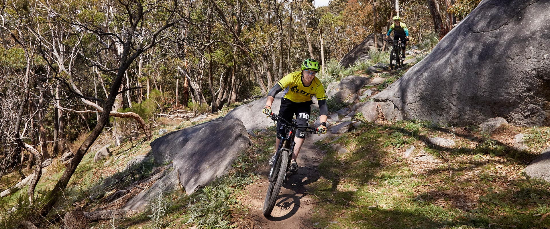
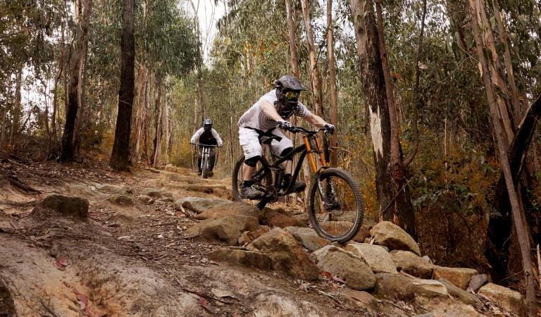
Lysterfield Park is home to 24km of purpose-built mountain bike trails suitable for all skill levels. Among them is the 2006 Commonwealth Games course, a skills park where riders can practise their technique and easy family trails for all to enjoy around the lake and parkland.
Lysterfield Park is one of the best places to mountain bike close to Melbourne. Undulating trails flow up and down steep hills and through dense plantations. Outcroppings of large boulders add to the scenic attraction and to the challenge of the trails.
Mountain biking at Lysterfield also rewards those who are looking for a gentler ride. Slow down and there's a good chance you'll see some kangaroos or wallabies. Cycle the gentle Lake Circuit trail and soak up the sights and sounds of the reservoir. Experienced riders might wish to take a short diversion from the top of the State Mountain Bike Course up to Trig Point Lookout and enjoy the view across to Melbourne's CBD.
Download the Lysterfield Park mountain bike fact sheet and trail map for more information.
The variety of trails range in difficulty:
Easy trails
Suitable for beginner riders, with firm and stable surfaces and avoidable obstacles.
 Lake Circuit Trail – 6.3km
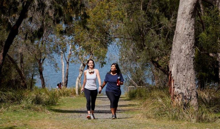
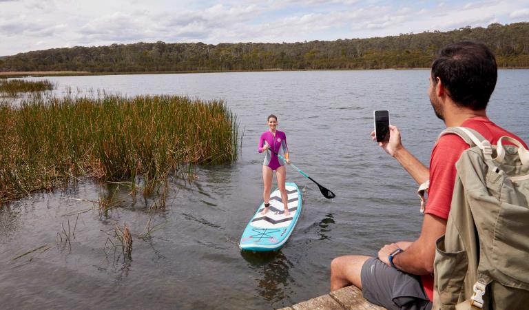
A popular choice for walkers, runners and cyclists alike, the Lake Circuit Trail highlights the native landscape. Kangaroo sightings are common and three jetties around the lake are pleasant places to take a break.
 Lower Blair Witch – 0.6km
The short, fast Lower Blair Witch Trail twists through dense spotted gum forest and links the Lake Circuit Trail to the Upper Blair Witch and State Mountain Bike Trail. The trail is great for families who want to test out single-track mountain bike trails while on the Lake Circuit Walk.
 Trail Mix – 1.0km
Located behind the Lysterfield Picnic Area, Trailmix is an easy flowing mountain bike track perfect for beginners and families. Extend your bike ride by linking up with the pleasant Lake Circuit Trail.
More difficult trails
Suitable for riders with some off-road experience. Variety of terrain, including obstacles and some steep sections.
 Lower Buckle – 2.4km
Ride the fast, flowing single track of the Lower Buckle. Perfect for riders wanting to practice their mountain biking skills. The trail weaves through tall eucalypt forests and has plenty of obstacles to get your blood pumping. Continue along the Upper Buckle for a longer ride.
 Upper Buckle – 0.7km
Accessible via the Lower Buckle trail, the short twisting single track of Upper Buckle packs plenty of punch for riders looking to improve their skills.
 Middle – 1.9km
Long twisting single track weaving through forest with a couple of steep switchback climbs and a tight technical twisting section north of Lamberts Track with some obstacles.
 Red Gum – 1.2km
The long Redgum single track links the tight, twisting mountain bike trails within the northern section of Lysterfield to the State Mountain Bike Course.
 Hug Trail – 1.5km
Leading off from the Hallam North Road Carpark, the Hug Trail descends through open eucalypt forest before merging with the Blair Witch trails. Hone your mountain biking skills as you maneuver over jumps, through earth berms and around tight corners.
 Upper Blair Witch – 2.0km
The fast flow of the Upper Blair Witch will test even the most experienced riders. Wind through dense spotted gum forest and make the most of the tight twisting trail, jumps and sweet earth berms. Link up Snipe Trail to head back to Skills Park and Lysterfield Lake Picnic Ground.
 Snipe – 0.7km
The Snipe Trail flows from The Upper Blair Witch and into the Lake Circuit Trail. Even though the trail is short, it has plenty of jumps and earth berms to keep riders on their toes.
 Pump Track
This short Pump Track is great for families or a warm up before hitting the rest of the Lysterfield Trails. It consists of flowing berms and roll overs.
 Buckle Down – 0.3km
Packed with plenty of berms and optional b-lines, the Buckle Down Trail flows through stands of open eucalypt forest and connects Follow Me to the Lower Buckle mountain bike trail.
 Dog Pound – 0.6km
One way, short fast flowing descent linking Upper Buckle with Middle Trail. Many fast corners and exposed tree roots.
 Humping Hound – 0.6km
Humping Hound is a flowing mountain bike trail leading to the top of Dog Pound. With technical corners and switchback turns, there’s plenty of fun to be had.
 Farm Trail – 0.4km
A short, fast down-hill consisting of jumps and berms, connecting you to Lower Buckle.
 Lil Shawty – 0.2km
A short but fast trail packed with jumps, connecting you onto Upper Buckle.
Very difficult trails
Suitable for experienced riders. Challenging terrain and frequent obstacles.
 State MTB Course – 6.4km
This is the Commonwealth Games Mountain Bike Course and challenges an experienced rider with the tight single track, technical rocky sections, high speed descents with inclined berms, timber boardwalks and steep hill climbs. Varied terrain from narrow, single track to open fast trails. To be ridden anti-clockwise
 Follow Me – 1.2km
Follow Me is a twisting, technical trail with obstacles perfect for experienced riders looking for a thrilling mountain biking experience. Ride over technical rock gardens, jumps, drops and sweet earth berms before meeting up with the berm-littered Buckle Down Trail.
 Aneurysm – 1.5km
Aneurysm is a fun, fast flowing mountain bike trail with plenty of jumps, drops and man-made obstacles to satisfy even the most experienced of riders.
Extremely difficult trails
Only suitable for highly experienced riders with excellent skills. Large unavoidable obstacles, steep descents or climbs.
 Granite Link – 0.2km
The short, steep and technical Granite Link Trail packs plenty of punch with a tight, technical descent and three twisting earth berms at the base. The mountain bike trail links the State Mountain Bike Trail to Wallaby Track.


 Skills Park
The Skills Park provides mountain bikers with an opportunity to improve their technique and confidence on the trails. It has been developed by Parks Victoria and the Lysterfield District Trail Riders to provide mountain bikers with an opportunity to develop new skills. It contains many technical trail features including jumps, berms and drops designed to introduce and train riders for the rest of the Lysterfield trails.
Things to do
Lake Circuit Trail
Lysterfield Lake
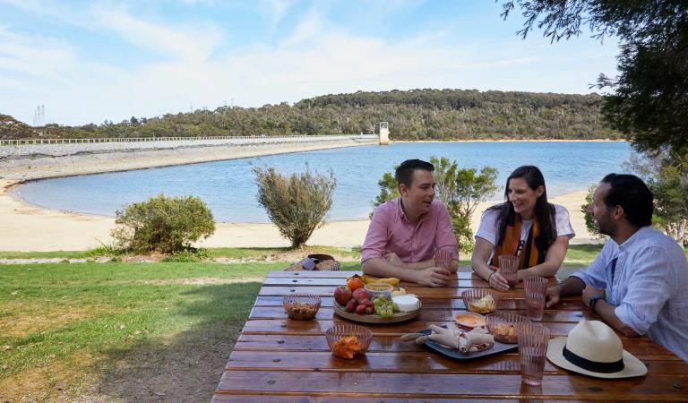
Picnic areas in Lysterfield Park
How to get there
Mountain bike trails in Lysterfield Park
Need to know
Mountain bike trails in Lysterfield Park
More information
Download a map of the mountain bike tracks to find out more.
At the start of each black run safety and risk signage is located on a “skills gate”. The skills gate is an indicator of the terrain and the trail surfacing you can expect along its length. If you are unable to safely navigate the skills gate, you should consider riding a different trail.
Change of Conditions
Nature being nature, sometimes conditions can change at short notice. It’s a good idea to check this page ahead of your visit for any updates.
-
Other issues
Some barbeques not in operation
Parks Victoria is carrying out inspections in all of our barbecues in our parks. Following these inspections, some barbecues have been temporarily closed until they can be attended by a licenced contractor. We apologise for the inconvenience this has caused.Visitor safety is our top priority and we advise people to please not to use any barbecue facilities that have been closed. We expect the impacted barbecues to reopen in the coming weeks. -
Notices Affecting Multiple Sites
Notification of Fox Control Program
Parks Victoria are undertaking fox control in Lysterfield Park, Churchill National Park and Baluk Willam Nature Conservation Reserve to relieve predation of vulnerable and threatened native fauna and minimise impacts on neighbouring farm values.The program involves the use of Canid Pest Ejectors with para-aminopropiophenone (PAPP) poison, cage and soft-jaw leghold traps to reduce fox numbers in strategic locations.Domestic animals (dogs and cats) are prohibited from entering all park areas and may be at risk if they do so.Fox control will occur until June 2026. For more information about the program please visit this link or call 13 19 63.Please see the attached map of the control area.Attachments: Control Area (LP, CNP, BWNCR) (619KB)
-
Lysterfield Park
Notification of Deer Control Program
Lysterfield Park (northern conservation zone) will be closed while ground shooting operations targeting deer are undertaken. Park closures will apply to affected areas overnight, between the hours of 4.00 pm and 8.00 am on a number of nights between 1 October 2025 and 13 December 2025.For reasons of public safety, the affected park area will be inaccessible during these nights. When control is taking place, signage will be posted at all main access gates. For your safety please observe the signage during this time and do not enter the reserve.Please see the attahed map of the control area.For more information about the program please visit this link or call 13 19 63.Attachments: Control Area LNCZ (470KB)
Notification of Deer Control Program
Lysterfield Park (northern conservation zone) will be closed while ground shooting operations targeting deer are undertaken. Park closures will apply to affected areas overnight, between the hours of 4.00 pm and 8.00 am on a number of nights between 1 March 2026 and 30 May 2026.For reasons of public safety, the affected park area will be inaccessible during these nights. When control is taking place, signage will be posted at all main access gates. For your safety please observe the signage during this time and do not enter the reserve.Please see the attached map of the control area.For more information about the program please visit this link or call 13 19 63.
Similar experiences
Albert Park Lake
