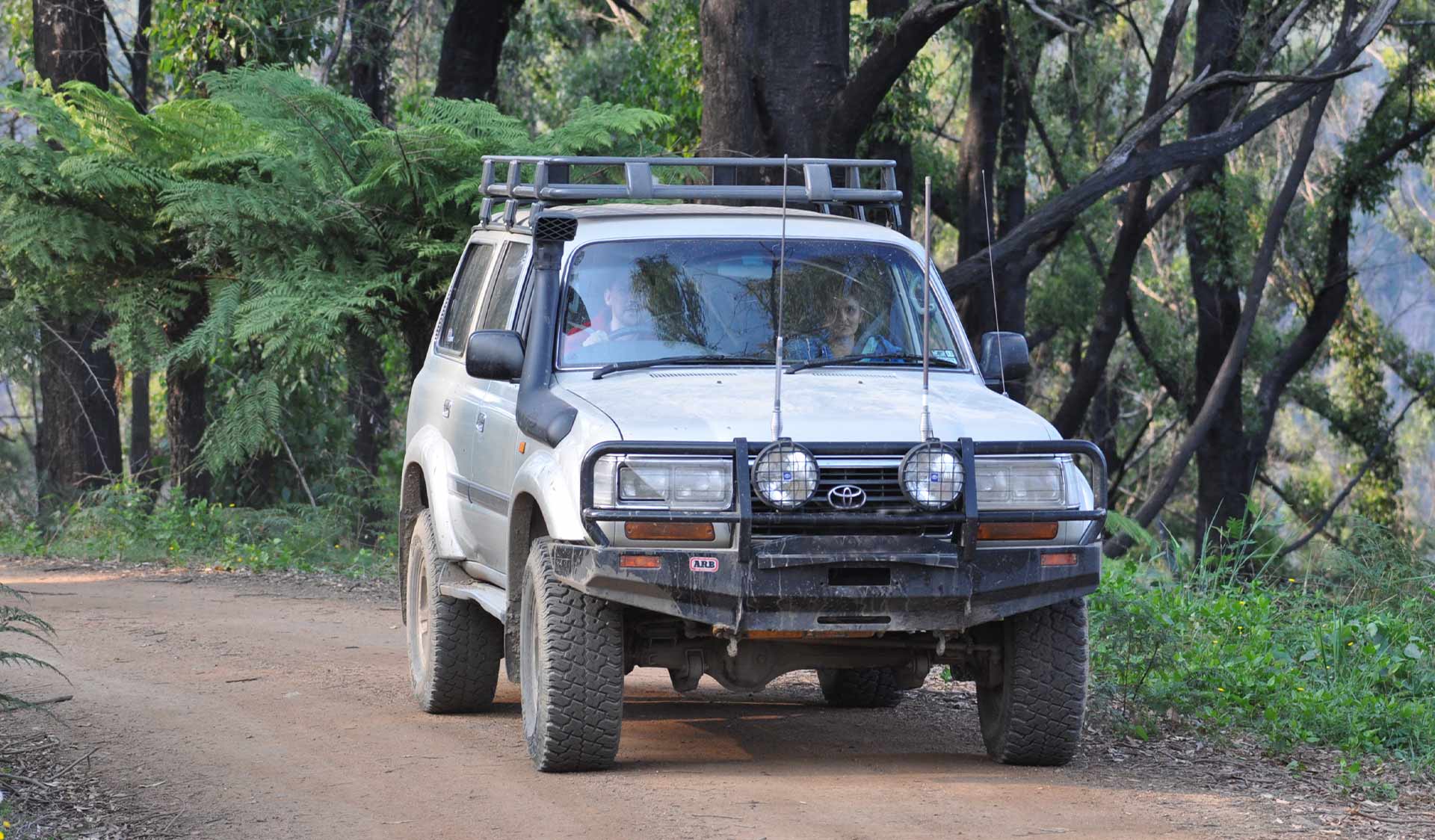
This is a great park for trail bike riding and four wheel driving.
Several recreation vehicle touring experiences are available to suit varying levels of experience and skill. Tracks have been classified to indicate their degree of difficulty. Symbol markers have also been placed at the start of tracks as they lead off the main access road into park or forest areas.
Things to do in the area
Camping at Bunyip State Park
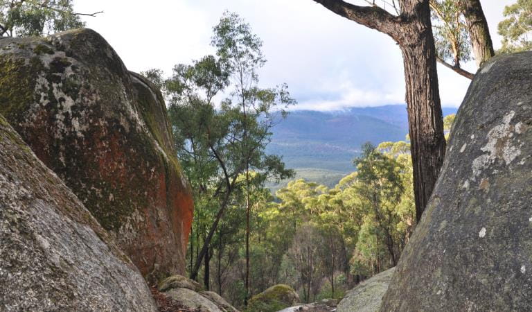
Four Brothers Rocks
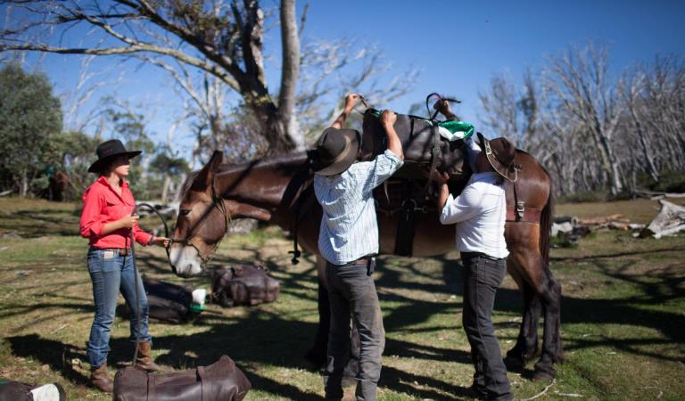
Horse riding at Bunyip State Park
How to get there
Four wheel driving and trail bike riding in Bunyip State Park
When you're there
Blue Range via Little Bunyip Track
15 km circuit (from Black Snake Creek Road to Bunyip River Road)
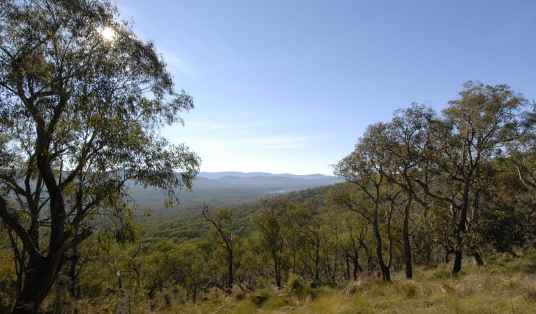
This drive/ride takes you through magnificent Mountain Ash Forest. Take in the spectacular views across the park to Westernport Bay from various spots along Blue Range Road. Thereturn trip passes through tough terrain with deep alpine drains and steep areas descending into the flat heathlands along Bunyip River Road.
Gentle Annie
43 km (start and finish from Forest Road)
You will drive/ride in a northerly direction across steep mountainous terrain. Gentle Annie Track provides a further challenge with rock benches and the added attraction of magnificent views across Gippsland.
Need to know
Four wheel driving and trail bike riding in Bunyip State Park
Change of Conditions
Nature being nature, sometimes conditions can change at short notice. It’s a good idea to check this page ahead of your visit for any updates.
-
Bunyip State Park
Areas of Bunyip State Park and Kurth Kiln Regional Park closed for deer control operations
Areas of Bunyip State Park and Kurth Kiln Regional Park will be closed from dusk (4:00pm), until dawn (7.00am) on the following nights - July 13, 14, 15,16, August 3, 4, 5, 6, September 7, 8, 9, 10.These closures are for ground shooting operations controlling introduced deer species. Signs will be displayed at all official entrance points to the control zones during the control operation.All camping grounds/visitor areas will be closed when the control activities are underway.Areas closed include:Nash Creek Camping GroundFreemans Mill Camping AreaDyers Camping and Picnic GroundMortimer Camping and Picnic AreaLawson Falls Picnic GroundForest Road Unloading AreaCannibal Creek Horse Unloading AreaHelmet Track Unloading AreaParks Victoria is responsible for conservation management to restore and protect park habitat, including the control of introduced plant and animal species.This program will:• Reduce habitat structure damage and minimise browsing impacts on habitat regeneration• Focus on movement corridors that aim to reduce the impact of deer grazing on surrounding private landFor your own safety please observe the signage during this time and do not enter any closed areas.For further information please call 131963Attachments: Bunyip Kurth Kiln control zone map 26_27 (1) (605KB)