Explore
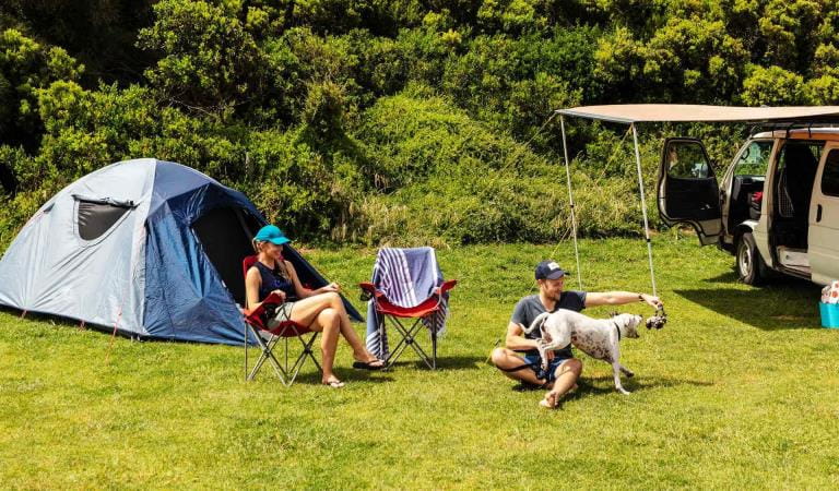
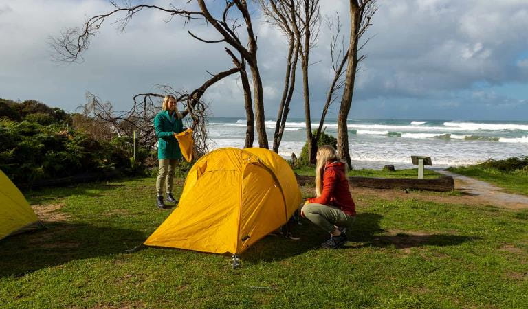
Aire River West Campground
Nestled in the shadow of the Otway Ranges, enjoy a stay by the heritage-listed Aire River at Aire River West Campground.
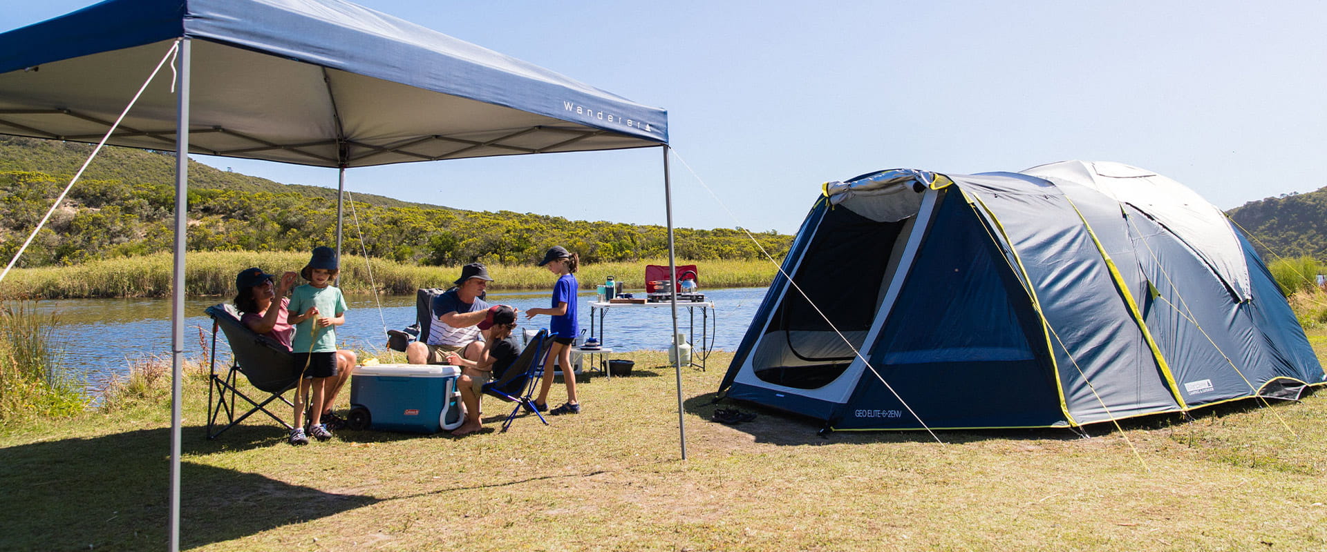
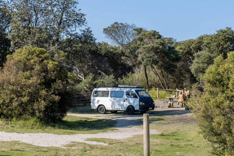
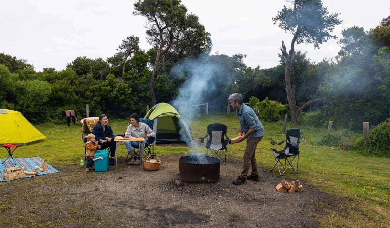
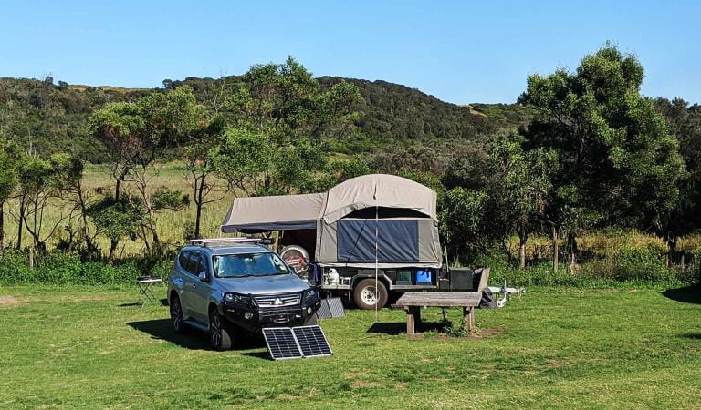
The large, flat and open Aire River West Campground is located on the western banks of the river and perfect for larger groups and caravans. On the eastern banks, Aire River East Campground is smaller, but more protected from the elements.
Advanced bookings and payment at Aire River West are required year-round. Aire River West Campground has 40 campsites on offer. All campsites accommodate a maximum of six people and are also unpowered. Campsites 1-5, 17-23, 27-40 are suitable for large caravans. Campsites 7-11 can only cater to smaller caravans and sites 12-16 are only suitable for tents. All other sites are suitable for tents, camper trailers, campervans and recreational vehicles.
A small gravel ramp on the western banks of the river is perfect for launching a canoe or kayak. Explore upstream and discover the wetlands and floodplains birdlife including swans, ducks, egrets, swamphens and the endangered Hooded Plover on Glenaire Beach.
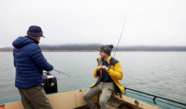
Fishing is also exceptional here. Choose between the calm estuary waters of Aire River or the wild ocean of Glenaire Beach. Catch bream, salmon, mullet, trout, mulloway and snapper too.
Glenaire Beach is a 15-minute walk away. This unpatrolled and rugged beach is best for experienced surfers. A little further to west, Johanna Beach offers similar rewards.
Things to do
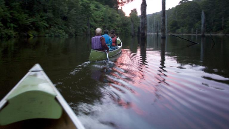
Canoeing and Kayaking
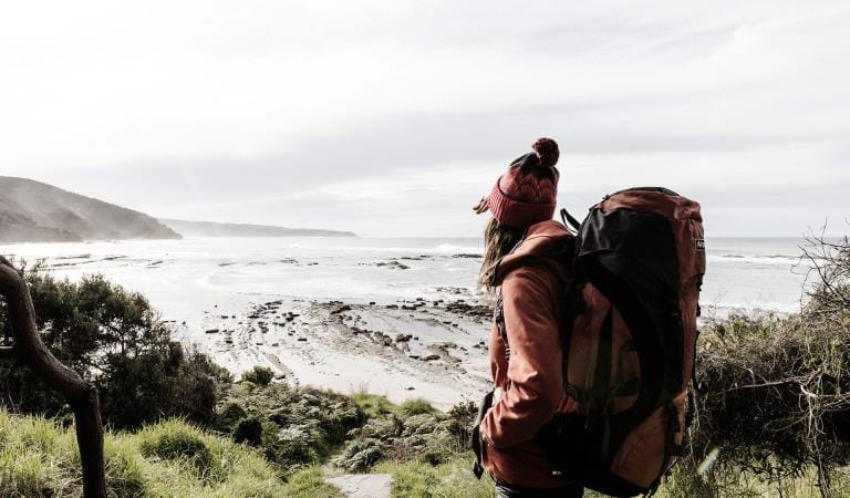
Great Ocean Walk
Fishing
How to get there
Aire River West Campground
When you're there
Need to know
Aire River West Campground
Accessibility
The day visitor area is located on the west side of Aire River adjacent to the campground. There is also a day visitor area on the east side of the river but there are no accessible toilets on this side.
There is designated parking on a level compacted gravel surface very close to the picnic area. There are no designated disabled parking bays.
The picnic area has a number of picnic tables and a rotunda scattered on a flat grassed area adjacent to the camping ground. These have bench seats on two sides and sufficient underneath space at the ends for wheelchairs or strollers. There are also some fireplaces with barbecue hotplates.
The day visitor area is close to the west bank of the Aire River. The river can be crossed in wheelchairs and strollers via the vehicle bridge. The ocean beach is not accessible by vehicle or by wheelchair.
There is a unisex accessible toilet and standard toilet cubicles that service both the campground and the day visitor area. A compacted gravel path of approximately 100 metres leads from the day visitor area to the toilets. This path is on reasonably level ground except for the last 25 metres, which has a slope of approximately 1:14. Drop off parking is available within 30 metres of the toilets if required.
Be prepared and stay safe
- No solid fuel fires permitted.
- Fuel stoves or gas barbecues are preferred for cooking.
- Bring your own drinking water.
- Come and enjoy the peace and quiet – please, no generators.
Aire River West Campground is prone to regular flooding. Please check for any change of conditions before you depart for alerts and updates.
Great Otway National Park is in the South West fire district. Bushfires can occur during the warmer months. It is your responsibility to check current and forecast weather conditions. Campfires cannot be lit on days of Total Fire Ban, however gas cookers can be used for preparing food.
Check the Fire Danger Rating and for days of Total Fire Ban at emergency.vic.gov.au, on the Vic Emergency App or call the Vic Emergency Hotline 1800 226 226.
Change of Conditions
Nature being nature, sometimes conditions can change at short notice. It’s a good idea to check this page ahead of your visit for any updates.
-
Aire River West Campground (Great Otway National Park GORCAPA, Aire River Heritage River)
Aire West Campground – Partial Seasonal Closure
Visitors are advised that sites 17–40 at Aire West Campground in Great Otway National Park are temporarily closed from 29 May to 25 September 2026 due to seasonal conditions.What to expect:Sites 17–40 are closed and unavailable for camping or vehicle access during this periodRemaining sites may still be accessible, subject to conditionsImportant information:The closure period may be extended if conditions remain too wet to safely support camping and vehicle accessVisitors are asked to follow any on-site signage and avoid closed areas to prevent damage to the campground and ensure safety.The Great Ocean Walk hike in camp site is not impacted.Entering into or camping within closed areas is subject to National Park regulationsWe appreciate your cooperation in helping protect the park during these conditions. -
Aire River East Campground (Great Otway National Park GORCAPA, Aire River Heritage River)
Aire East Campground – Seasonal Closure
Aire East Campground in Great Otway National Park will be closed from 29 May to 25 September 2026 as part of the annual seasonal winter closure.This closure is necessary to protect the campground and access tracks during periods of wet weather, when conditions are highly susceptible to damage from vehicle use and camping activity.What to expect:No visitor or vehicle access to the campground during the closure period.Campground and toilet facilities will be unavailable.Important information:The closure period may be extended if conditions remain too wet to safely support vehicle access and camping.Visitors are encouraged to plan ahead and consider alternative campgrounds.We appreciate your cooperation in helping protect the park environment during this time. -
Notices Affecting Multiple Sites
Great Otway National Park Flood Closures
Severe thunderstorms and flash flooding on 16 January 2026 has caused significant damage across parts of the eastern Great Otway National Park.For public safety, the following areas are closed until further notice while assessments and clean-up works are undertaken:Closures included but are not limited to :Erskine falls is limited to the top viewing platform. Access to the base of the falls and along the river track is closed.
Roads & TracksWye RdCurtis TrackGodfrey TrackJamieson Track
Walking tracks
St George
Phantom falls
Lemonade ck
Kalimna
Henderson
Cumberland
Cumberland Garvey Link
Kalimna Garvey LinkCora LynnErskine Falls Walking TrackWon WondahAlternative walking tracks can be found at:Moggs Creek picnic areaDistillery Creek picnic areaOcean TrackCastle RockSheoak Falls to Swallow cavesMany roads, tracks and visitor facilities are impacted by debris, flooding and unstable conditions.The Great Ocean Road has been impacted,Always follow safety signage and directions from response crews, and do not enter any closed areas.Thank you for your patience and understanding as works are undertaken to make these popular areas safe to visit again. -
Maits Rest Rainforest Walk (Great Otway National Park GORCAPA)
Maits Rest Carpark – Temporary Partial Closure
Visitors are advised that maintenance works will be undertaken at the Maits Rest Carpark in Great Otway National Park on 10 June 2026.These works involve repairing and resurfacing sections of the carpark affected by pothole damage.What to expect:Partial closure of the carpark during worksReduced parking availabilityConstruction activity and machinery on siteAccess:The carpark will remain partially open, with approximately half of the parking area availableAccess to the Maits Rest Rainforest Walk will remain open at all timesVisitors are asked to follow all signage and directions from contractors to ensure safety.We appreciate your patience while these essential maintenance works are completed.
Similar experiences
Best Alternatives to Popular Victorian Campgrounds
Bear Gully Campground
Aire River East Campground
Blanket Bay Campground