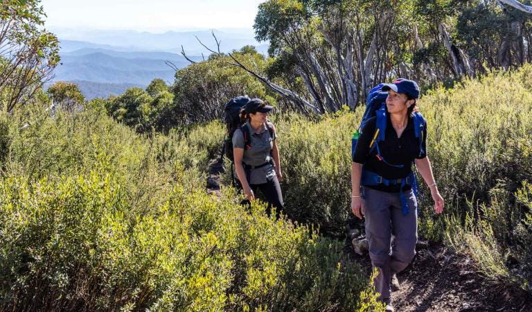
For the ultimate challenge, try the 100km Mornington Peninsula Walk which links existing tracks across the peninsula; traversing wild ocean coastlines, peaceful bay beaches and tranquil bushland.
Dogs are not permitted in Mornington Peninsula National Park. This includes beaches, carparks and Greens Bush.
Ocean Beach Walks
Coppins Track
This walk starts at Sorrento Ocean Beach and winds 4 km along the clifftop to Diamond Bay. Take a walk through time, and discover some of the changes that have happened in the area during the last 100 years.
Farnsworth Track
The Farnsworth Track links Portsea Ocean Beach with London Bridge along the cliff tops. The track is 1.5 km long and takes 30-45 minutes to walk one way. Start at either London Bridge or Portsea Ocean Beach and walk one or both ways along the track. Alternatively, complete a round trip by walking along the track and the beach.
Lifesaving Track
This 11km track was constructed in the 1890s to provide better access to the coast after two devastating shipwrecks. A number of lookouts provide breathtaking views down the coast, with good vantage points at the Bay of Islands, St Paul’s, Koonya Ocean Beach and No 16 (the 16th lifesaving point). Detours to Diamond Bay, Jubilee Point and St Paul’s are well worth the trip.
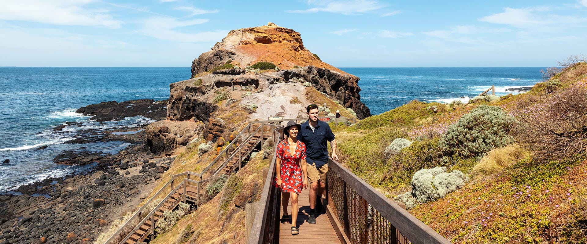
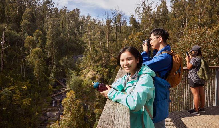
The Coastal Walk
For those feeling more energetic, consider the 26km Coastal Walk which extends from Cape Schanck to London Bridge. See spectacular ocean views, hidden coves, rugged cliffs, tidal rock pools and dense coastal scrub.
Arrow markers indicate the walking track, where orange markers indicate longer ‘through tracks’ and blue markers indicate circuit tracks to intersecting locations. Look out for the Hooded Plover symbol which identifies that you are on the Coastal Walk. Check tides before setting off.
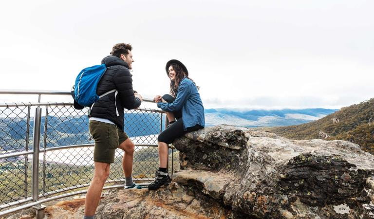
Cape Schanck to Bushrangers Bay
Follow the Bushrangers Bay track from the eastern carpark at Cape Schank to see some of the best coastal scenery near Melbourne. The track finishes at Bushrangers Bay, a sandy beach formed by Main Creek and surrounded by basalt cliffs. The return walk takes about 2 hours.
An extension to the track is part of the Two Bays Walking Track and leads to Rosebud Flinders Road (3km). This track provides fine views and passes through shady banksia groves before continuing northwards across the road and through stands of eucalypt and banksia towards Greens Bush (10km).
Fingal Beach
From Fingal Picnic Area, the 3km track leads through dense ti-tree to lookouts over Bass Strait.
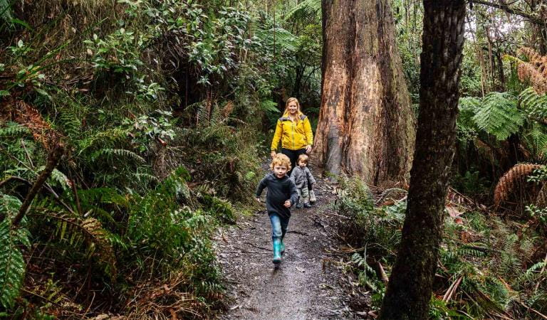
Greens Bush walks
Situated between Arthurs Seat and Cape Schanck, Greens Bush is the largest remnant of bushland on the Mornington Peninsula. The area contains a variety of vegetation communities and is a wildlife haven, making it an excellent place for nature walking.
Baldrys Short Circuit, 1.6km
A short but rewarding walk that takes you through eucalypt forest. Peppermint, Messmate and Manna Gum are the dominant overstorey species. Depart from Baldry Crossing (Melway map 254 G6).
Baldrys Long Circuit, 3.6 km
This track weaves further into the forest. There are several creek crossings, and the green, moist fern gullies are a welcome contrast to the drier forest. Depart from Baldry Crossing (Melway map 254 G6).
Long Point Circuit, 4 km
Accessed off the Two Bays Track, or midway between Highfield and Gate 3 on Rogers Road, this circuit passes through eucalypt woodlands with views across open grasslands and shady gullies of Coast Banksia and Blackwoods.
Two Bays Walking Trail, 8.9 km
The longer Two Bays Walking Trail is an excellent way to see Greens Bush, is a link in the 26 km bush corridor from Dromana to Cape Schanck. There are several highlights along the trail - eucalypt forest mixed with spectacular stands of grasstree (the taller grasstrees may be over 200 years old), pockets of tea-tree thicket alive with birds, picturesque fern gullies and open grasslands.
The Two Bays Walking Track is identified by a circular symbol displaying a Blue Wren, which can be seen on signage along the track.
Beaches
Bird watching
Walking
Day trips
Family activities
Lighthouses
Lookouts
How to get there
Walking
When you're there
Need to know
Walking
Accessibility
Visiting a park can be more of a challenge for people with disabilities, however in Victoria there are a wide range of facilities to help people of all abilities enjoy our wonderful parks around the state.
To make it easier for people with limited mobility to see the all abilities access and experiences on offer at Cape Schanck Lighthouse Reserve in Mornington Peninsula National Park, Parks Victoria has released this video - produced and narrated by accessibility advocate Ryan Smith, who uses a wheelchair.
;
Assistance dogs are welcome in Parks Victoria parks and reserves. Entry requirements apply for parks and reserves that are usually dog prohibited, such as national parks.
Change of Conditions
Nature being nature, sometimes conditions can change at short notice. It’s a good idea to check this page ahead of your visit for any updates.
-
Flinders Ocean Beach (Mornington Peninsula National Park, Mushroom Reef Marine Sanctuary)
Landslip affecting beach west of Mushroom Reef, Flinders Ocean Beach
There is a landslip affecting the beach west of Mushroom Reef, Flinders Ocean Beach (within Mornington Peninsula NP). Please do not approach the slip.
Mushroom Reef Toilet Closure Finders Ocean Beach
The toilet at Flinders Ocean Beach, Mushroom Reef is permanently closed. The nearest alternative public toilets are Flinders town centre public toilets. -
Notices Affecting Multiple Sites
Fox Control Underway
Parks Victoria are undertaking fox control in Mornington Peninsula National Park from Portsea Ocean Beach to Greens Bush to relieve predation of vulnerable and threatened native fauna.Programs involve the use of cage and soft jaw leg hold traps, Canid Pest Ejectors with para-aminopropiophenone (PAPP) poison and buried PAPP poison, to bait foxes in strategic locations. Short track sections may be closed to isolate works (secondary tracks only).Fox trapping and baiting will occur until October 2026.Dogs are prohibited from entering Mornington Peninsula National Park. If pets are suspected of having consumed a PAPP bait during the baiting period, a vet should be consulted immediately. An antidote to PAPP (methylene blue) is available and stocked by many vets on the Mornington Peninsula.
Lightwood Camping Area
Fees no longer apply to this campground. No bookings are taken for campgrounds where fees do not apply. Camping is first in, first-served