Explore
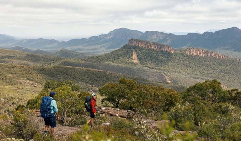
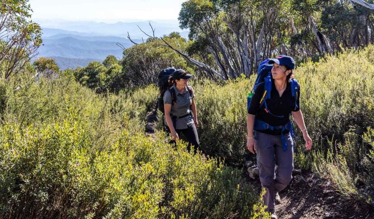
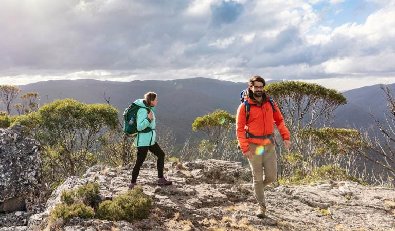
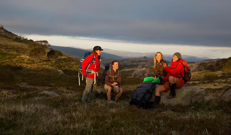
Remote hike-in camping
Mount McLeod and Rocky Creek Camping Areas offer a great introduction to overnight camping in Mount Buffalo National Park.
The two camping areas, accessed on foot from the Reservoir Picnic Area, offer a great opportunity to escape into the alpine surrounds of Mount Buffalo National Park.
Open year round but often under snow during winter, both campgrounds are best visited from November through April, when longer days bring more favourable weather. Also, between Queen's Birthday and Melbourne Cup long-weekends, the walk into the both campsites is 3km longer and begins at Mount Buffalo Road, as Reservoir Road is seasonally closed. Campers need to be well prepared for Alpine areas and prepared for a long walk and ski. Advance booking and payment are required year round.
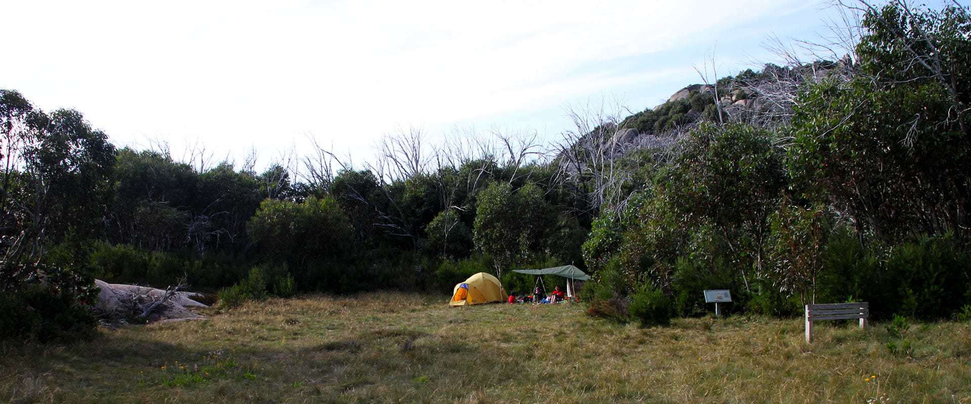
Mount McLeod Hike-in Camping Area
This camping area is accessible along Mt McLeod track — approximately 8km from the Reservoir Picnic area.
The campground offers five unpowered campsites and a pit toilet. Each campsite accommodates a maximum of two people (children are charged as adults). Fires are prohibited, use fuel stoves only.
Water is seasonally available from where the road crosses a creek, approximately 100m southwest of the campsite. Hikers are advised to treat before consumption otherwise carry sufficient water supplies for the duration of their stay.
Rocky Creek Hike-in Camping Area
This camping area is accessible along Rocky Creek track — approximately 6.5 km from the Reservoir Picnic Area.
The campground offers five unpowered campsites and a pit toilet. Each campsite accommodates a maximum of two people (children are charged as adults). Fires are prohibited, use fuel stoves only.
Water is available from the nearby creek. Hikers are advised to treat before consumption.
Things To Do
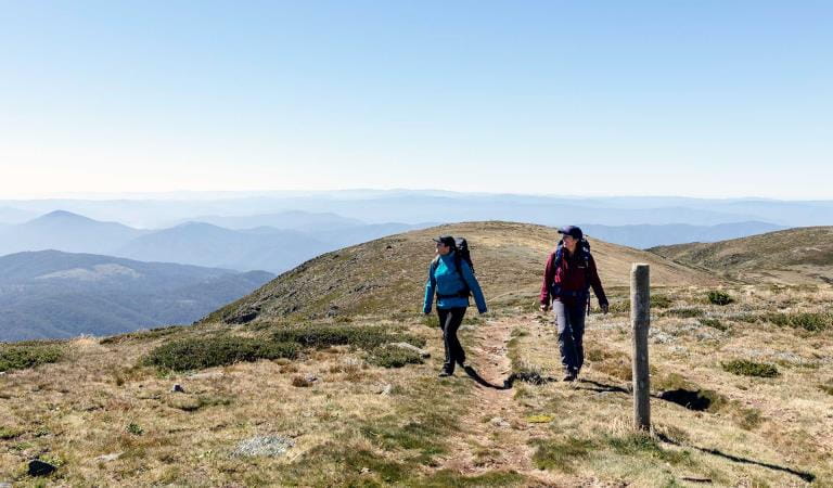
Walking
Hiking and bushwalking
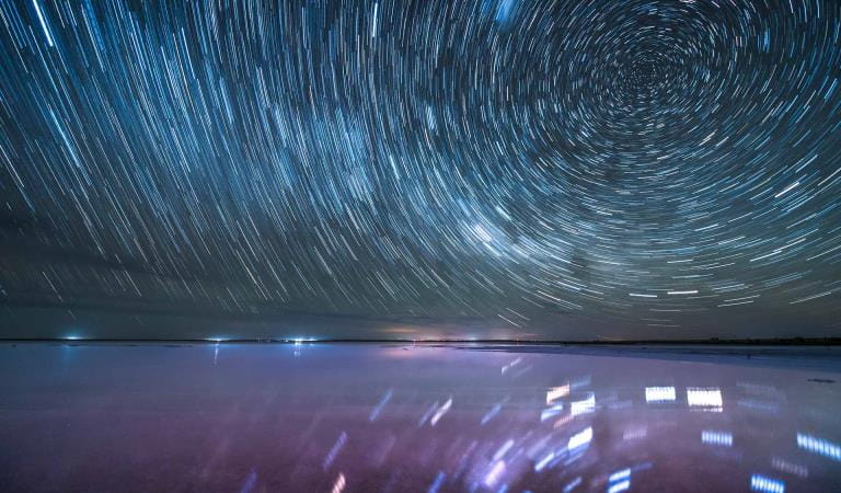
Stargazing
How to get there
Remote hike-in camping
Access both campgrounds is from the trailhead at the end of Reservoir Road. From there follow the sign posts along management vehicle only tracks to Rocky Creek and Mount McLeod camping areas.
Head along Mount Buffalo road towards the Horn and Reservoir road is the first right after the Park Ranger's office. Reservoir Road is unsealed and depending on the conditions may not be suitable for some 2WDs with low clearance.
Sites
When you're there
Need to know
Remote hike-in camping
Accessibility
Visiting a park can be more of a challenge for people with disabilities, however in Victoria there are a wide range of facilities to help people of all abilities enjoy our wonderful parks around the state.
Be prepared and stay safe
Mount Buffalo National Park is in the North East fire district. Bushfires can occur during the warmer months. It is your responsibility to check current and forecast weather conditions. Campfires cannot be lit on days of Total Fire Ban, however gas cookers can be used for preparing food.
Check the Fire Danger Rating and for days of Total Fire Ban at emergency.vic.gov.au, on the Vic Emergency App or call the Vic Emergency Hotline 1800 226 226.
Change of Conditions
Nature being nature, sometimes conditions can change at short notice. It’s a good idea to check this page ahead of your visit for any updates.
-
Notices Affecting Multiple Parks
Planned aerial shooting operations targeting deer
Control operations (aerial shooting) targeting deer are planned for this area. During operations parts of the Park will be closed to visitors. More information on closures will be posted a minimum of 4 weeks prior to commencement.Visitors are advised to check the Change of conditions listing prior to arrival for up to date information and maps.For more information about deer control to protect biodiversity, please visit this link.Ground shooting operations targeting deer
Control operations (ground shooting) targeting deer are undertaken in this area. The Park will remain open to visitors during operations.
For more information about deer control to protect biodiversity, please visit our Deer page.
-
Lakeside Day Visitor Area (Mount Buffalo National Park)
Lake Catani Campground is currently CLOSED
Lake Catani Campground is currently CLOSED.Available from the Friday before the King’s Birthday long weekend in June until the end of August, winter camping is available at Lake Catani for free. No booking is required. Lake Catani Campground is only accessible by skiing, snowshoeing or walking. The track into Lake Catani is a seasonal road and is closed from the Thursday after the King’s Birthday long weekend until mid-September. The road closure may remain in place longer if the track is impacted by snow. The campground amenities are closed during winter. However, a pit toilet located behind the Stone Hut is open for winter campers.Summer camping is from the Friday before Melbourne Cup long weekend at the beginning of November and the campground is closed at the end of April. All facilities are open for this duration. Campsites must be booked online and in advance.Remote camping at Mt McLeod and Rocky Creek campsites are open year round and require an online booking. These sites are NOT accessible by car and require lightweight overnight hiking equipment and reasonable fitness to walk to.
Falls to Hotham Alpine Crossing
Mount Bogong