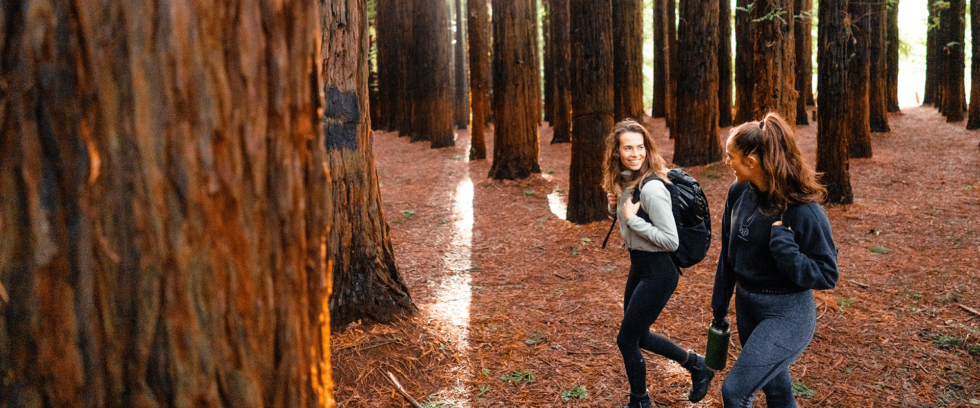
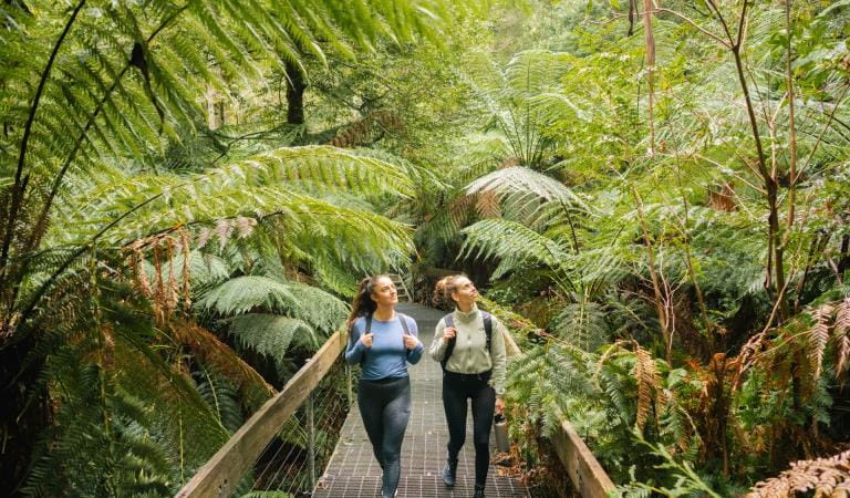
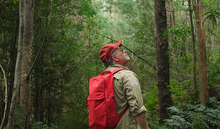
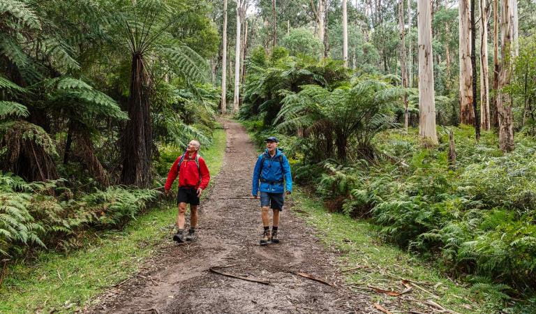
Popular with Melbourne day-trippers and locals alike, the 'Warburton Redwoods' offer a serene escape. Whether you’re relaxing on the lawns with a picnic or wandering through the towering Californian Redwood (Sequoia sempervirens) canopy, it’s a place of quiet wonder.
Originally planted in the 1930s as part of a hydrology experiment, these trees are now over 90 years old. While Californian Redwoods can live for over 2,000 years and reach heights of 115m, this 'young' forest at Cement Creek is already captivating due to its trees rising in striking, uniform rows.
The forest's two distinct plantations, located near the car park and along the Loop Trail, feature over 1,470 trees. These giants soar more than 55 metres into the sky, creating a powerful natural cathedral. The site was further developed in the 1960s with the addition of Radiata Pine and Western Red Cedar.
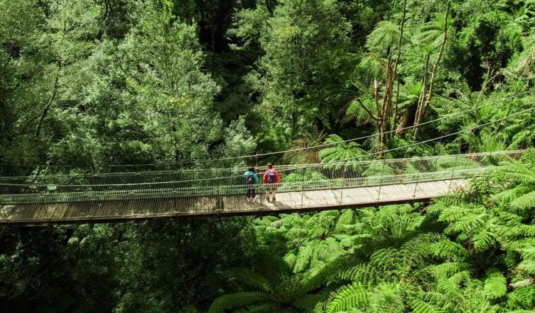
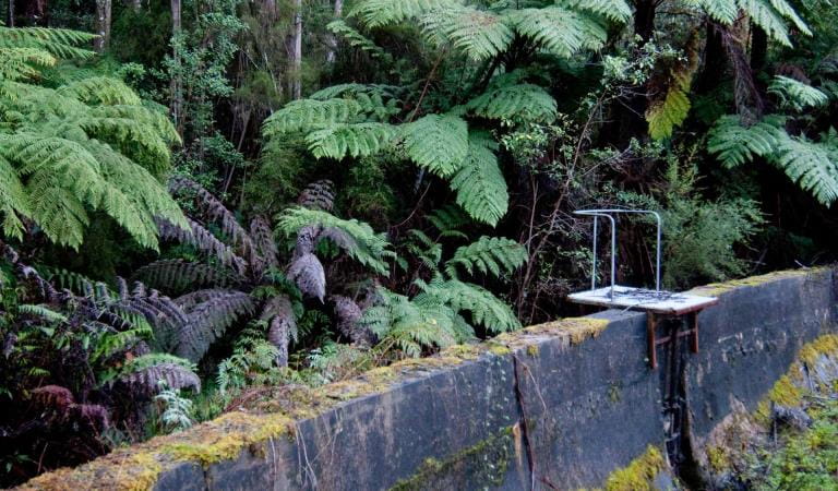
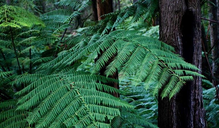
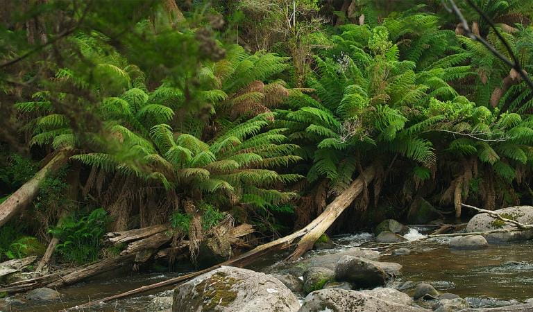
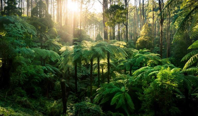
To see a different side of the forest, follow the Cement Creek trail to its confluence with the Yarra River. This beautiful loop walk offers a striking contrast to the redwoods, immersing you in a lush, native landscape of ancient ferns and towering Eucalypts. Keep a quiet eye out for Eastern Yellow Robins flitting through the dappled light.
For those seeking a longer journey, the O’Shannassy Aqueduct Trail is located just north of Cement Creek Rd. To avoid the crowded Cement Creek Car Park, try the 16km return cycle or hike starting from the Yuonga Road car park.
The Cement Creek Redwood Forest is extremely popular. Expect large crowds, especially on weekends, school holidays and public holidays. For a quieter experience, we recommend visiting mid-week or early in the morning and later in the afternoon.
Things to do in the area
OShannassy Aqueduct Trail
Mount Donna Buang
Rainforest Gallery
Upper Yarra Reservoir Park
Badger Weir
Cambarville Picnic Area
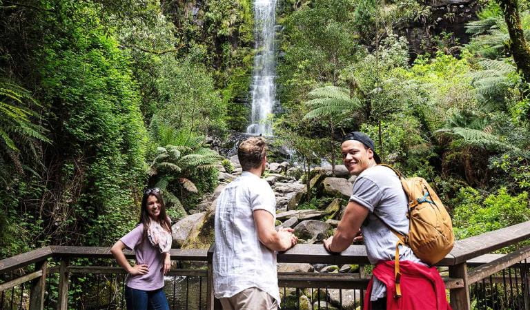
Keppel Falls
Picnic areas in Yarra Ranges National Park
How to get there
Redwood Forest
Access is via Cement Creek Road, located off Woods Point Road (an extension of the Warburton Highway), approximately 15 minutes’ drive from the Warburton township.
On-site parking is limited. Please park only in the designated onsite car parks.
Cement Creek Road is a municipal roadway which is partially sealed, can be narrow and includes a one-way, one-lane bridge. Strictly observe all ‘No Standing’ signs along Cement Creek Road as parking in these areas restricts emergency vehicle access and can result in fines.
On busy weekends and public holidays, the car park often fills by 10 am. If you arrive and find it full, consider visiting another nearby visitor site. For a quieter experience visit the Rainforest Gallery or Donna Buang Summit. The O'Shannassy Aqueduct Trail via Yuonga Road also provides a scenic 16km return trip pedestrian alternative.
When you're there
To protect this unique environment for everyone, please note:
- No rubbish: This is a 'Carry in, carry out' park. No bins are provided, so please take all your litter home with you.
- No dogs, cats or other pets: To protect local wildlife and the sensitive forest floor.
- No drones: To maintain the peace for visitors and nesting birds.
- No camping or fires: Overnight stays and open flames are strictly prohibited.
- No firearms: Shooting is not permitted within the park boundaries.
- Poor connectivity: Mobile reception is limited or unavailable depending on your provider.
- Parking and access: Please park only in the designated car park. Parking in 'No Standing' zones along Cement Creek Road is dangerous and may result in a fine.
Need to know
Redwood Forest
Accessibility
The Cement Creek Redwood Forest features accessible parking, an accessible toilet, accessible trails and viewing platform.
Assistance dogs are welcome in Parks Victoria parks and reserves. Entry requirements apply for parks and reserves that are usually dog prohibited, such as national parks.
Safety in nature
This national park is home to a variety of wildlife, including snakes and spiders. Wasps may also be in the area.
Waterbodies are not suitable for swimming; children must be closely supervised. Paths may become slippery if wet and large trees feature in this area. Tree limbs can fall without warning.
Cement Creek Redwood Forest is in the Central fire district. Bushfire safety is a personal responsibility. Anyone entering parks and forests during the bushfire season needs to stay aware of forecast weather conditions. Check the Fire Danger Rating on the VicEmergency website or smartphone app or call their hotline on 1800 226 226.
Filming and photography
A permit (minimum 10 business-day turnaround) is required for commercial filming and photography. A permit is also required for filming with a drone, commercially or privately (minimum 20 business-day turnaround).
Cement Creek Redwood Forest Facility upgrades
The Cement Creek Redwood Forest in the Yarra Ranges National Park has become an increasingly popular site for visitation over the last few years thanks to the enchanting and photogenic Californian Redwood trees.
Visitors to the Yarra Ranges National Park will soon enjoy greater accessibility, new facilities and increased protection of the environment through the Cement Creek Redwood Forest Facility upgrades.
Change of Conditions
Nature being nature, sometimes conditions can change at short notice. It’s a good idea to check this page ahead of your visit for any updates.
-
Dom Dom Saddle Picnic Area (Yarra Ranges National Park)
Dom Dom Saddle Picnic Area - Toilet Closure
Dom Dom Saddle Picnic Area toilets are permanently closed and will be removed in their entirety at a later date.The nearest toilets are at Fernshaw Picnic ground. -
Cambarville Picnic Area (Yarra Ranges National Park)
Partial walking track closure on Cumberland Circuit walk (South of Woods Point Road)
There is a partial closure in place on the Cumberland Circuit walk due to hazardous tree fall risk south of Woods Point Rd (see map attached)Attachments: Cambarville_A4_0412 (1,190KB)
Cambarville toilet block closed until further notice
Cambarville toilet block is closed until further notice due to water supply issues and structural problems -
Yarra Ranges National Park
Summit Loop Trail - Partial Closure - Lake Mountain Summit
The Summit Loop walking trail is partially closed at Lake Mountain until further notice.Attachments: Lake Mountain Summit Loop Partial Track Closure (562KB)
Restricted night time access due to Deer control Program at Mount Donna Buang and along the O'Shannassy Aqueduct trail
Parks Victoria will be undertaking deer control in the Yarra Ranges National Park on the southern fall of Mount Donna Buang. This program will be taking place between the hours of 5pm and 6am on a number of nights between the 1st of March and the 12th of June 2026. These control works are being undertaken by accredited and authorised contractors.For reasons of public safety, various areas of the park will be inaccessible during the evening throughout this period. This includes the O’Shannassy Aqueduct trail and the Mount Victoria walking track. Signage onsite will provide specific dates control will take place. Please refer to the attached map for further information.Signage will be in place at access points when control activities are occurring. For our own safety please observe the signage during this time and do not enter any closed areas.For further information please call 131963Attachments: Donna Deer Control zone map (652KB)
Similar Trails
Dandenong Ranges National Park
Great Otway National Park