The path to flood and storm recovery – six months on
Monday 29 May, 2023
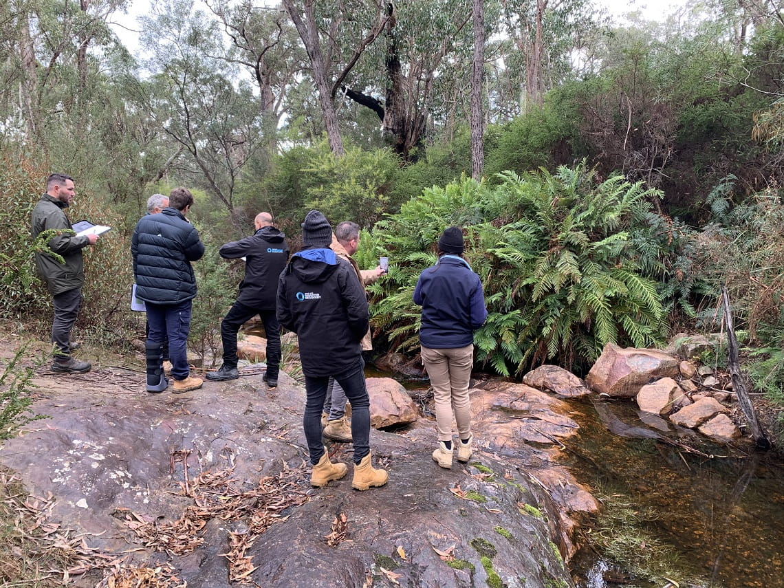
The flood and storm events in late 2022 were no ordinary weather event. Some of Victoria’s most popular parks were severely impacted by extreme weather, causing damaged roads, tracks and visitor facilities, and damage to environmental and cultural heritage.
Six months’ later – state-wide recovery efforts have been immense, with more than 80 per cent of affected areas managed by Parks Victoria now safely reopened for visitors to explore and enjoy the benefits of nature (April 2023).
This key milestone is the result of determined collaboration between Parks Victoria’s Rangers, Traditional Owners, volunteers, agencies and local community groups.
Some great examples of these recovery efforts have been at many of Victoria’s favourite destinations, including Lysterfield Park, Arthurs Seat State Park, Greater Bendigo National Park, Hattah - Kulkyne National Park, Mitchell River National Park, Grampians ‘Gariwerd’ National Park, and many locations along the Murray River.
Protecting Aboriginal cultural heritage
Many of the areas affected by flooding are rich with tangible evidence of Aboriginal use and occupancy.
Unfortunately, this flood event has potentially affected five thousand registered Aboriginal cultural heritage places. These include:
- Middens
- Scar trees
- Ancestral resting places
A dedicated Aboriginal Heritage Recovery Team has been put in place and are working around the clock to assess impacts of the incident and ensure recovery efforts cause no harm to Aboriginal cultural heritage.
Parks Victoria has also commissioned Post Event Heritage Evaluations within Hattah-Kulkyne National Park, Gunbower National Park, Murray-Kulkyne Park, Murray-Sunset National Park, Nyah Vinifera Park and with the Murray River Reserve at Belsar Island. Further evaluations are also planned.
Southern and Maritime Victoria
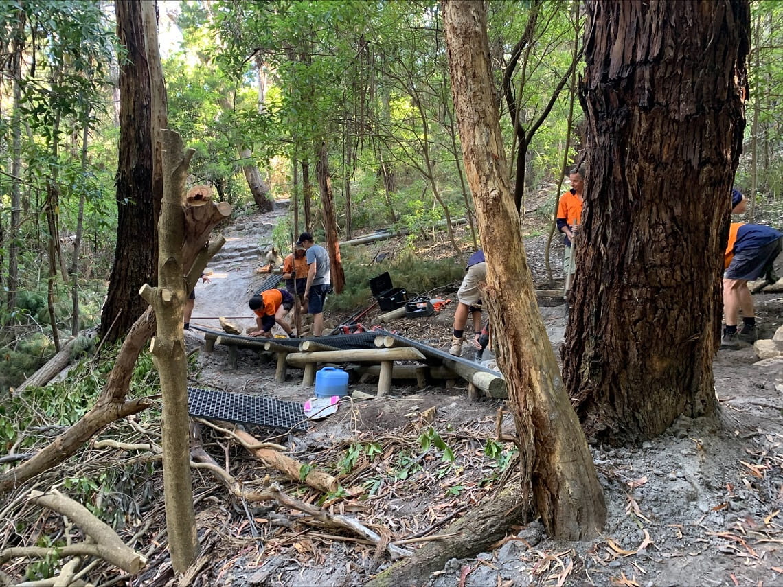
Lysterfield Park on Bunurong Country and Wurundjeri Country is popular for its mountain bike trails, which sustained serious damage in the October and November weather events when the park received more than 350ml of rain.
Local teams and volunteers from Lysterfield District Trail Riders and Friends of Lysterfield Park, have worked together to progressively reopen sections once safe.
Parks Victoria is working with insurers to access funding works to not only repair storm damage, but also improve drainage across the area to future-proof damage to trails after rain.
Repair works at Arthurs Seat State Park included the addition of mesh panels and gravel to elevate the low- lying boggy sections of this trail.
Credit: Ranger Harrison, Parks Victoria
At Arthurs Seat State Park on Bunurong Country, the closure of the mountain bike trail ‘Crusher’ was a rising concern to users with an upcoming competition.
To repair this area in time for the event, a working bee was held by Parks Victoria rangers and volunteers from Red Hill Riders. With thanks to the additional support from these volunteers, the damage to this trail was rapidly repaired in time for the event.
Working together with volunteers, the working bee was also able to make safety improvements to the area by removing hazardous trees.
Northern Victoria and the Murray River
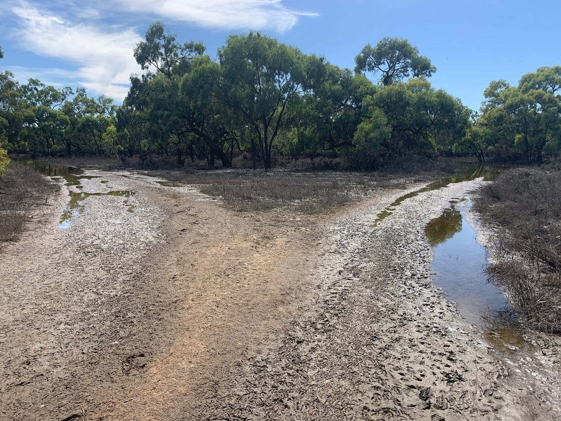
This region was one of the most heavily damaged in Victoria. With some areas around Mildura still inundated with residual floodwater, sites have not been accessible for recovery works to start.
Local teams have had to wait for floodwaters to recede and the soggy ground to dry and harden.
Parks Victoria's top priority is the safety of visitors and staff, always. On site assessments of damage and the start of recovery works began when possible. The Parks Victoria teams were under added pressure to reopen popular areas in time for major events planned on the Murray River.
Many of northern Victoria’s campgrounds were impacted, including those in the Greater Bendigo National Park on Djaara Country and Hattah-Kulkyne National Park in the Mallee.
Floodwaters receding mid-January at Kings Billabong Park, near Mildura on Latji Latji Country.
Credit: Senior Ranger Danielle, Parks Victoria
Once the floodwaters receded, our teams could enter these impacted areas, and they hit the ground running. From initial assessments, removing hundreds of fallen trees, to repairing damage to sealed roads, tracks and trails, works were underway at long last.
While some areas have been reopened for visitors, many of the roads and tracks still require work. Hazards have been sign posted for safety and visitors should exercise caution when traveling these tracks.
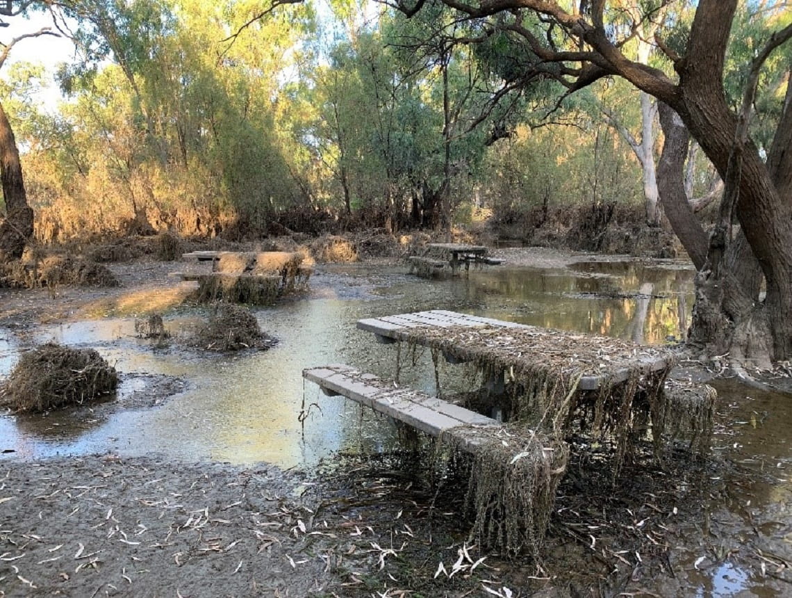
Recovery work also included fixing broken public toilets, clearing fallen and hazardous trees, and removal of mud and grime from campgrounds and other visitor facilities, such as these picnic tables in Kings Billabong Park.
Credit: District Manager Don, Parks Victoria
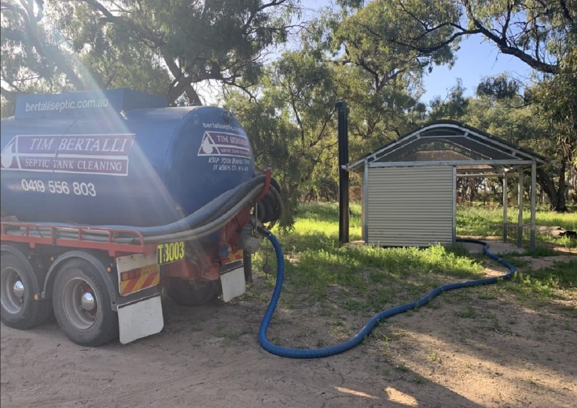
The toilets at Lake Mournpall Camping Area in Hattah-Kulkyne National Park was damaged by floodwaters. The treatment system needed to be pumped out and the facilities recommissioned as compliant before safely reopening for visitors.
Credit: District Manager Don, Parks Victoria
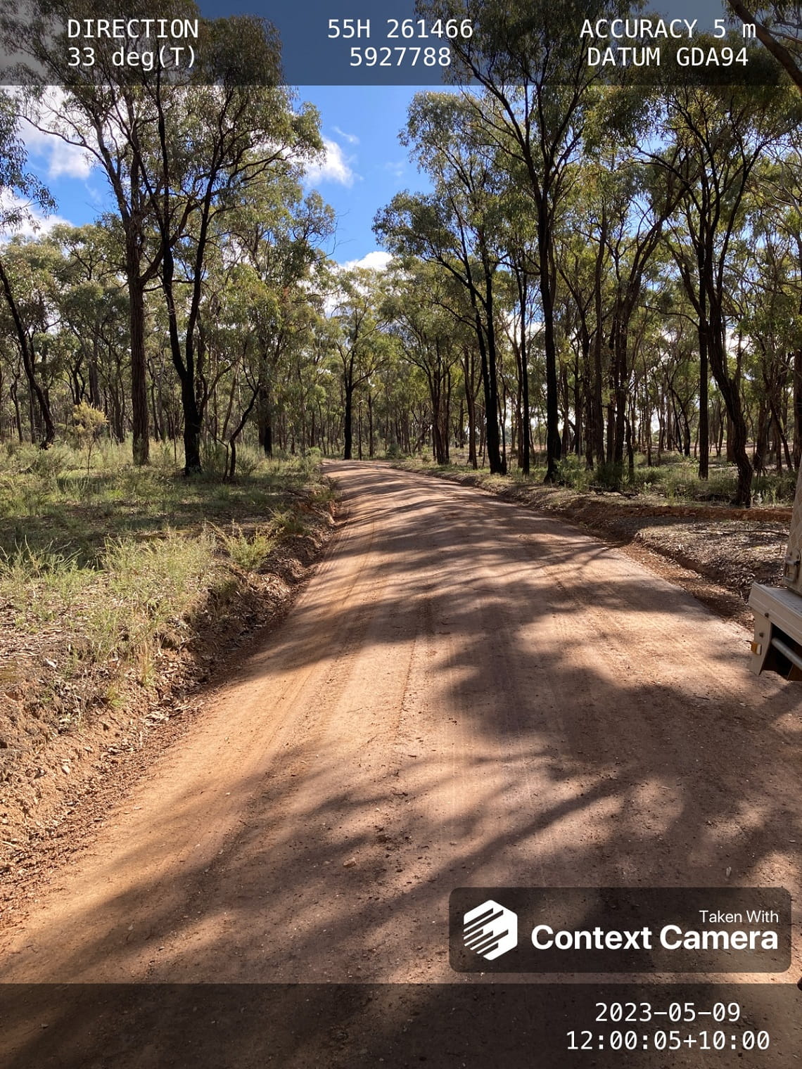
Image of road repairs to Wildflower Drive using an assessment tool with data overlays. Taken in Greater Bendigo National Park, Djaara Country.
Credit: Ranger Peter, Parks Victoria
As floodwaters receded, tens of thousands of visitors were expected to arrive along the Murray River for community and major events throughout March to April. The Nangiloc Fishing Classic competition anticipated over four thousand ticket holders. Also on the calendar were three water ski racing events held in Robinvale, Echuca and Mildura.
Attracting an estimated 100,000 boating enthusiasts, competitors and spectators each year, the world famous Southern 80 water ski race was eager to go ahead for the first time since 2020 and the pandemic.
Our local teams were under pressure to undertake extensive flood recovery works along the 80-kilometre stretch of the Murray River near Echuca and Moama, in order for this international event to finally go ahead. This included intensive clearing and repairs to roads for the event’s emergency vehicle access.
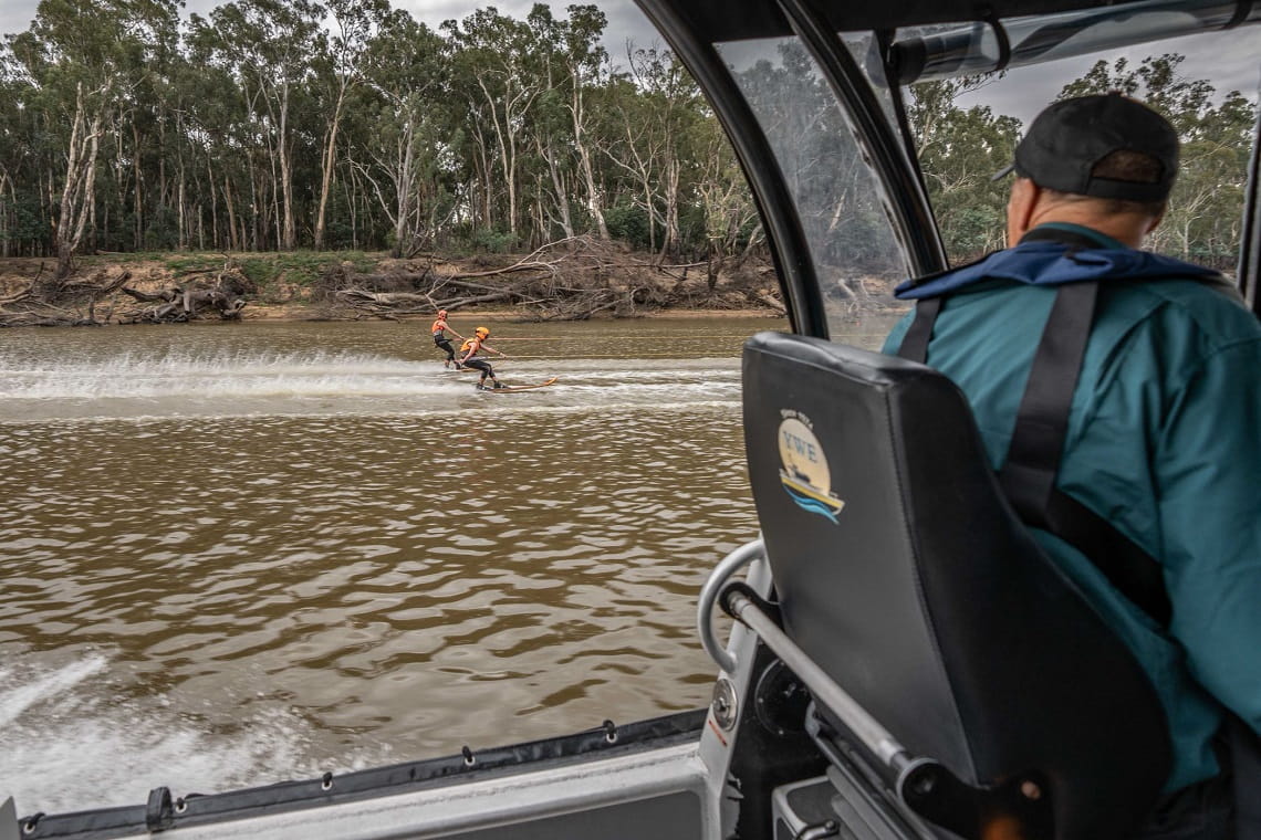
A key safety concern for the Southern 80 ski race was the erosion and instability of river banks, causing fallen trees, exposure of roots, and branches dropping without warning.
Credit: Communications Advisor Jacque, Parks Victoria
With thanks to state-wide collaboration of Parks Victoria teams, volunteers and contractors, recovery efforts were completed within a very tight timeframe. In partnership and on site throughout the weekend were Parks Victoria rangers, Victoria Police and the Conservation Regulator, ensuring that the Southern 80 event was a success, and safe.
Eastern Victoria
Last year’s flood event significantly impacted both public and private land right across the east of Victoria.
Parks Victoria’s recovery efforts are continuing in Lake Tyers State Park, near the coast. The road in this photo was so badly damaged, it required 264 tonnes of rock to repair it.
Credit: Recovery Project Officer Grace, Parks Victoria
Further inland, leading to the Angusvale campground is the Mitchell River Road, which was also damaged and prevented access to the Mitchell River National Park on Brabralung Country.
This popular destination is proudly joint managed by Parks Victoria and the Gunaikurnai Land and Waters Aboriginal Corporations (GLaWAC).
This provided a wonderful opportunity to deliver civil works together – with Parks Victoria organising the package of works and GLaWAC delivering under the First Right of Refusal provisions.
This collaboration resulted in fantastic outcomes for the area, and the reopening of a popular campground just in time for the busy holiday season, when visitation reaches its peak.
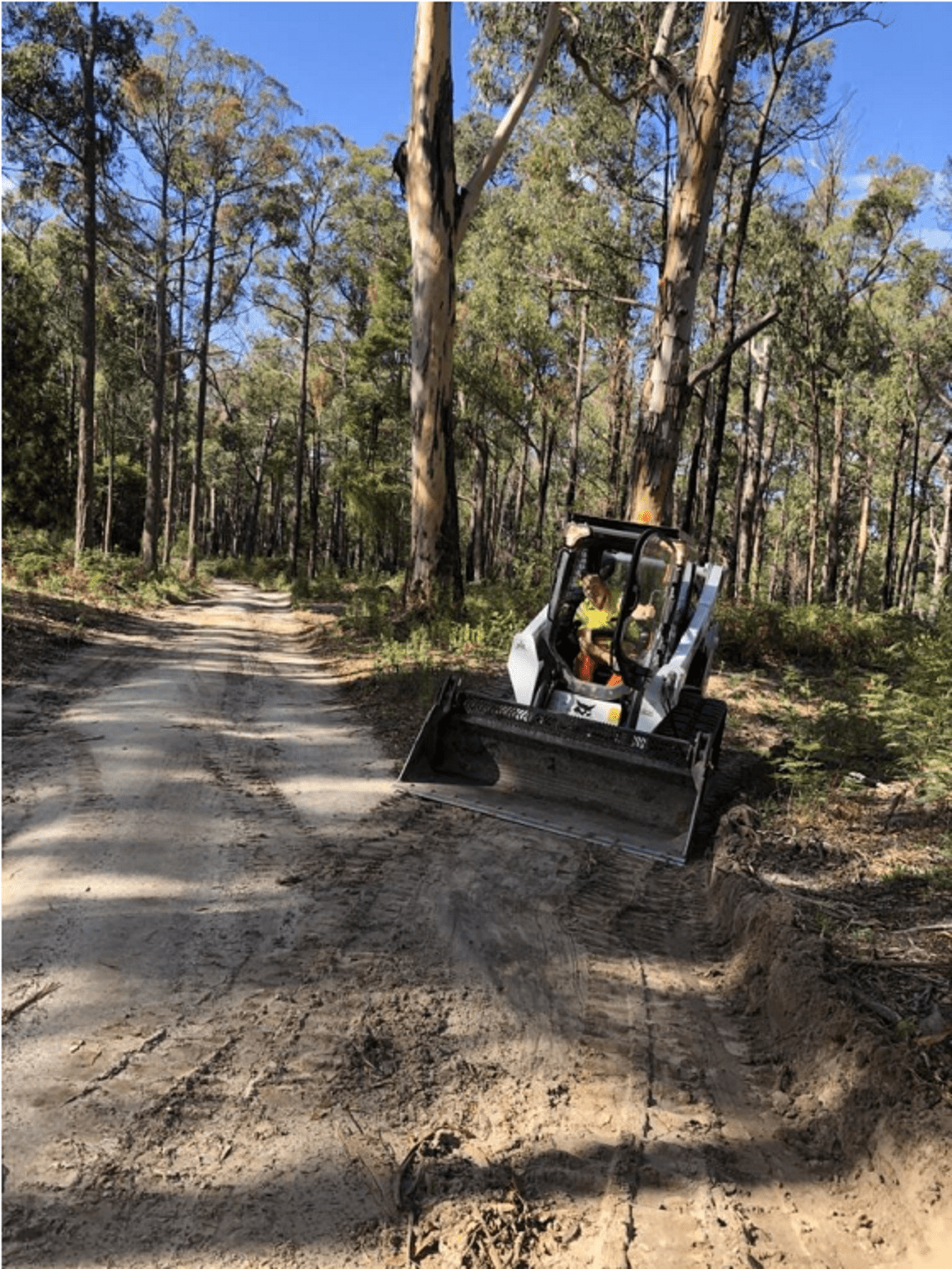
Western Victoria
Despite severe storms and floods in the Grampians (Gariwerd) National Park and the western region of the state, lots of recovery work has happened.
Heavy rain in early October caused extensive and widespread flooding in rivers, on roads and walking tracks. This caused damage to the Parks Victoria office in Halls Gap, alongside trees, roads, and walking tracks.
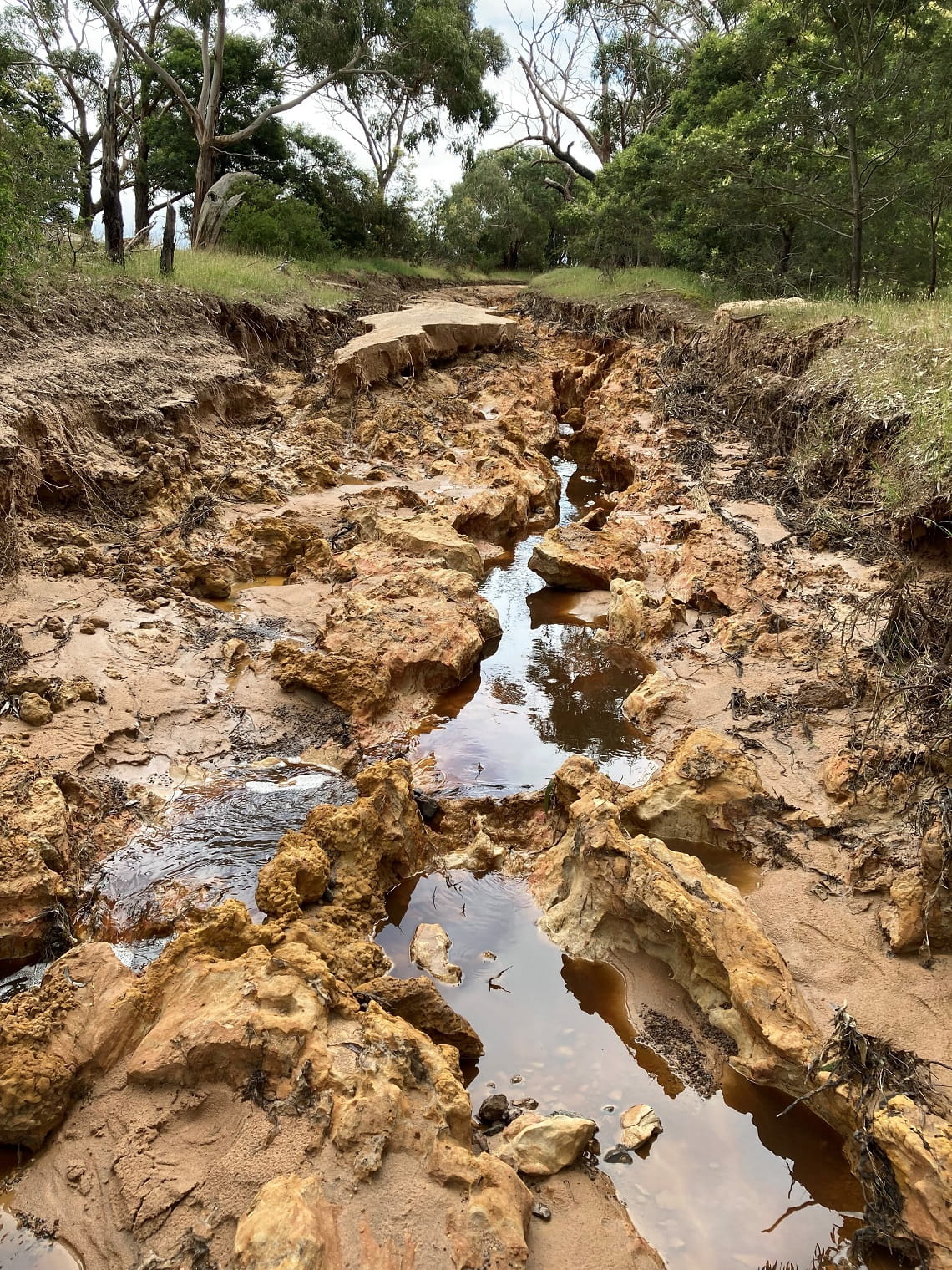
On Wadawurrung Country, all of the flooding in the area of Inverleigh Nature Conservation Reserve channelled along Bakers Lane, causing serious damage and access issues.
Credit: Regional Recovery Coordinator Gordon, Parks Victoria
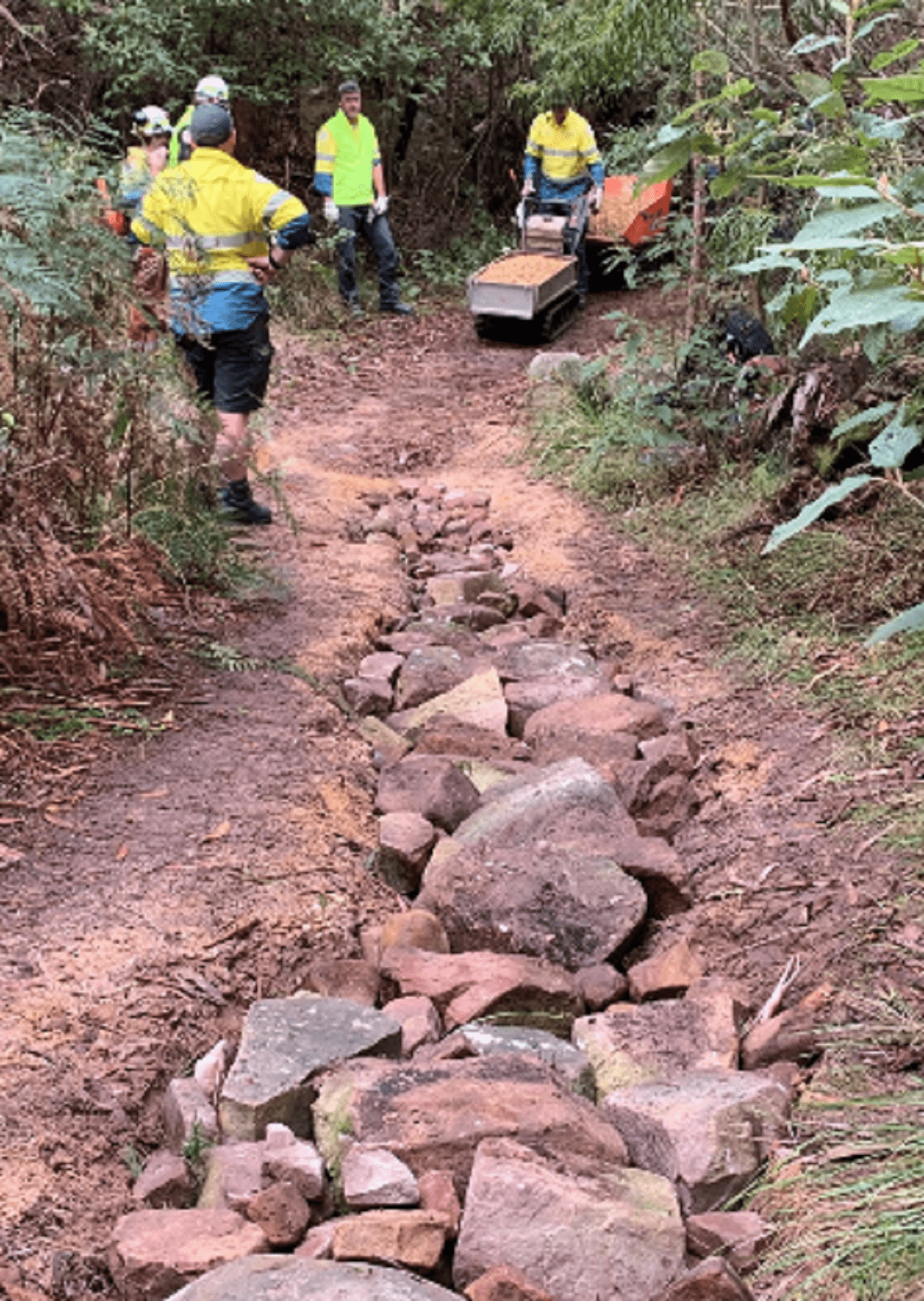
Once safe and possible, local teams began engineering, geotechnical and hazardous tree assessments for roads, bridges and visitor facilities in many of the west’s favourite parks and reserves. This includes the much-loved Grampians Peak Trail, where fierce floodwaters washed away stepping stones at three river crossings.
Along the Grampians Peak Trail, Parks Victoria met with Emergency Recovery Victoria to estimate the cost of replacing these stepping stones to ensure that they are not washed away so easily next time.
Credit: Regional Recovery Coordinator Gordon, Parks Victoria
Heavy rainfall throughout spring and summer caused damage to many tracks and roads in Western Victoria’s South West, Western Basalt and West Coast Parks Victoria Districts. The roading teams completed repairs on hundreds of kilometres of water damaged roads.
Parks Victoria’s Grampians team working together to repair the Silverband Falls Walking Track.
Credit: Area Chief Ranger Andrea, Parks Victoria
Across Victoria, the journey to recovery has certainly had its challenges. The resilience, dedication and collaboration of our local teams, Traditional Owners, volunteers, agencies and local community groups demonstrates a true commitment to the cultural and environmental values of these precious landscapes – whatever the future may bring.
Take a walk in a park
As of April 2023, Parks Victoria has now reopened or partially reopened more than 80 per cent of flood and storm affected parks.While we are working to reopen all affected parks, some of your favourite places may be closed, partially closed, or have changed conditions.
Visit the Flood and Storm Affected Parks page for a list of sites with a closure in place.
Some parks have been severely impacted and may stay closed for months or even years. Thank you for keeping out of closed areas.
Before you leave home, check the Parks Victoria website and search for the park you’d like to explore then scroll to the Change of Conditions section at bottom of the page.
Please be patient and kind when talking with Parks Victoria staff, they love these parks as much as you do.
We look forward to safely reopening Victoria’s precious places for everyone to enjoy.
A note on climate change
Climate change is causing our weather and ecosystems to change.
In the last few years, Victorians have experienced unprecedented storm events, altered fire regimes, changes to rainfall and access to fresh water. These events are expected to occur more often. The flood and storm events in 2022 are another example of extreme weather, and the impacts to communities and landscapes are long lasting.
Parks Victoria will continue to put the safety of all Victorians first, working alongside Traditional Owners, communities and the wider Victorian Government.
Related news

Meet the volunteers making campgrounds feel like home
The difference between a good camping trip and a great one can come down to the little things that make our stays safer, easier and more enjoyable. That’s where our volunteer Campground Hosts come in.

Entire Grampians Peaks Trail reopened following fires
For the first time since the 2024-25 bushfire season, the entire 164km Grampians Peaks Trail is open to hikers, with five rebuilt remote hike-in campgrounds opening this week.

Keeping the Great South West Walk on track
The Great South West Walk stretches 262 kilometres and is cared for by a quiet but enduring partnership between a passionate group of volunteers and local Parks Victoria rangers.