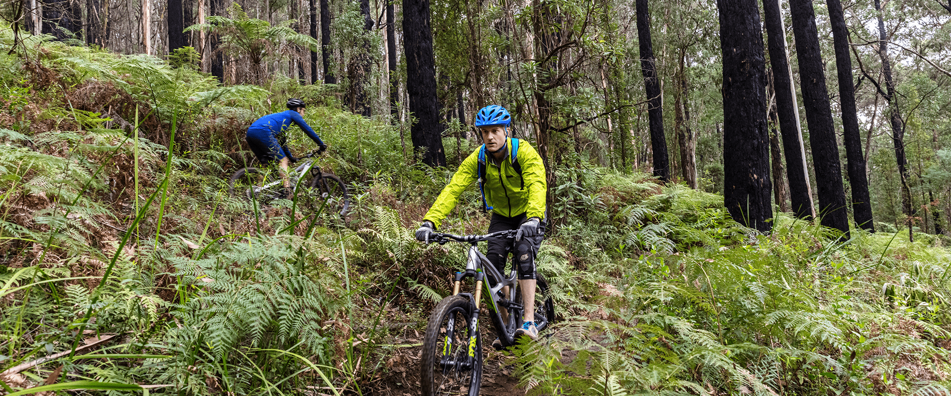
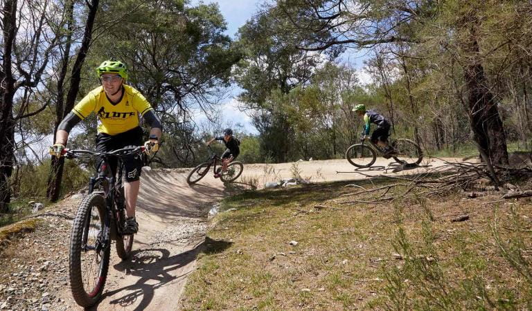
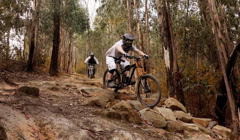
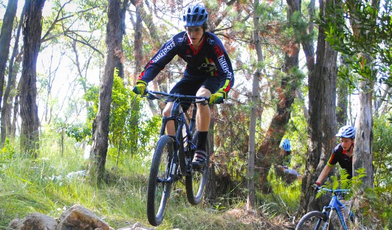
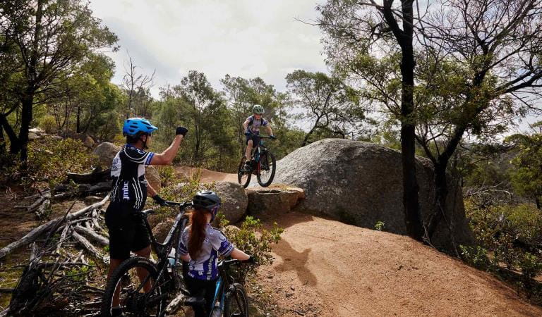
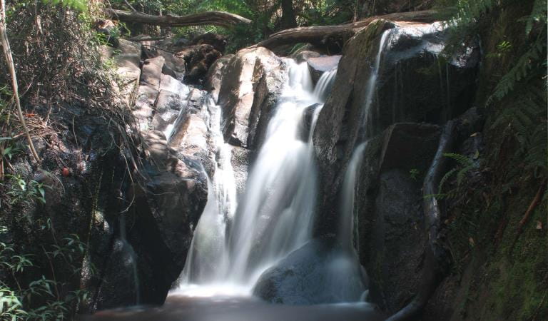
The steep terrain and tall canopy of the Silvan area of Dandenong Ranges National Park makes for an exciting mountain bike destination, hosting a combination of single trail and management vehicle tracks with opportunities for beginner and intermediate skill level.
The area has 13km of dedicated mountain bike trails and a significant management vehicle track network suitable for riding. The trails can be enjoyed individually, with friends or you can join a local riders club.
Download the Dandenong Ranges Mountain Bike Fact Sheet for detailed trail maps and more information.
The mountain bike trails are managed by Parks Victoria with the support of the local club - Yarra Ranges Mountain Bikers (YRMTB). If you’re interested in being involved in building new trail features or helping maintain trails, get in touch with Parks Victoria or YRMTB to volunteer.
Similar trails
Mountain biking at Lysterfield Park
Bowden Spur Mountain Bike Area
Mountain biking in Arthurs Seat State Park
Mountain biking at the You Yangs Regional Park
How to get there
Mountain bike trails in Dandenong Ranges National Park
If visiting by car, start your mountain bike trail experience from the Silvan Reservoir Picnic Area. Facilities include parking, toilets, picnic tables and barbeques. From the picnic area, head 500m south west on Stonyford Road until you access the Track 13 management vehicle track which will take you into the “Forest Flow” trail network.
Alternatively, park at RJ Hamer Arboretum and head east along Chalet Road to start at descending Blue Grade Huds Track.
When you're there
Parks Victoria rangers endeavour to keep the trails open in just about all conditions. However, short closures may occur in extreme weather events, after storms or to conduct trail works.
Download a map of the mountain bike trail to find out more.
Need to know
Mountain bike trails in Dandenong Ranges National Park
Rules of the trail
These guidelines help you and other park users stay safe. They also aim to keep the park in good condition for the future:
- Wear appropriate safety gear, including a helmet. Ride tracks suited to your ability.
- Obey trail signage and note one‐way and shared trails.
- Only ride on formed, designated bike trails.
- Don’t make short cuts or new trails.
- Respect the rights of other park users.
- Do not disturb plants or animals.
- Trails can be closed due to extreme weather events. Observe closure signs and check the Parks Victoria website regularly for updates.
- Clean your bike; don’t spread weeds or plant diseases.
- Please follow the Mountain Bike Australia (MTBA) Mountain Bike Code of Conduct.
- E‐bikes must comply with VicRoads standards.
Fines can be issued for not riding on formal trails.
Change of Conditions
Nature being nature, sometimes conditions can change at short notice. It’s a good idea to check this page ahead of your visit for any updates.
-
Notices Affecting Multiple Sites
Olinda/ Silvan Area- Georges Track pedestrian access only
Due to unstable ground from a damaged underground culvert, temporary fences have been installed at Georges Track and Herman Track intersection prohibiting vehicle access.This portion of the track is pedestrian use and horse riding only. Parks Victoria and DEECA are working to fix this issue to reinstate full access.Margaret Lester Forest Walk Condition Update
The Margaret Lester Walk at Grants Picnic Ground has historically provided visitors with an accessible forest experience through the Dandenong Ranges National Park.Due to the age and condition of the trail surface and associated infrastructure, the walk no longer meets the expected standard of an all abilities trail. Visitors may encounter uneven surfaces, drainage issues and sections of trail that may be difficult for some users to safely navigate.Planning work has been undertaken for a future upgrade of the trail, however delivery timeframes are still being confirmed.Until improvement works are completed, visitors are encouraged to assess whether the current trail conditions are suitable for their individual needs and abilities.Parks Victoria acknowledges the importance of accessible visitor experiences and appreciates the community’s patience while future options for the Margaret Lester Walk are progressed.Temporary Closure of Grants Picnic Ground Cafe
Grants Picnic Ground Café is temporarily closed while Parks Victoria works through an Expression of Interest process to secure a long-term and appropriate lease for the site. In the meantime, a mobile coffee van will be operating on-site from Tuesday to Saturday for the duration of the process.
Things to do
RJ Hamer Arboretum

Dandenong Ranges Botanic Garden

Doongalla Homestead
Kalorama Park
Olinda-Falls