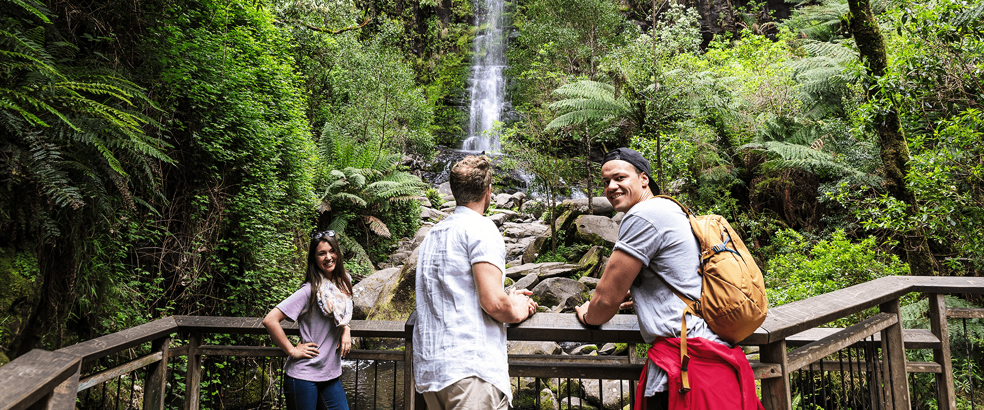
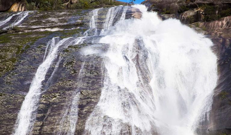
Even in a region known for its magnificent waterfalls, Erskine Falls stands out. A short diversion from the Great Ocean Road and 15 minutes from Lorne, you can park close to the 30-metre cascade - or enjoy it as part of a longer, secluded walk through lush rainforest.
The Otway Ranges are infamous for their high rainfall - but on the plus side all that water means lush green fern gullies carved out by rivers and waterfalls. Erskine Falls is particularly popular among the waterfalls of the Otways, plunging (or trickling, depending on recent rainfall levels) down a 30-metre drop.
There's an easy walk to the first lookout or a more strenuous but rewarding climb down 230 steps to the second lookout, where you will see the waterfall in all its glory. The Erskine River Walk to Lorne continues off downstream from here if you are prepared for the 7.5km walk.
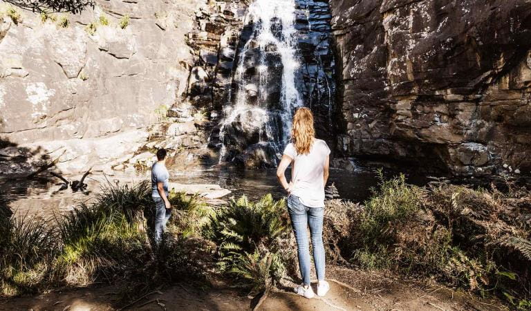
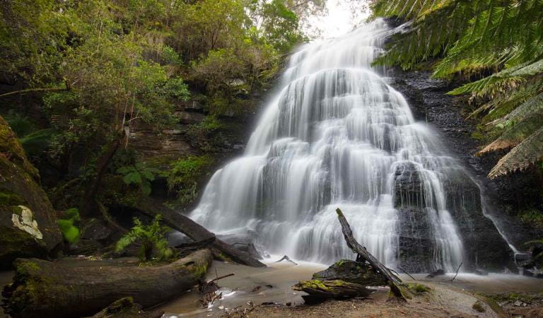
Erskine Falls makes a great half-day trip away from the beach if you are holidaying in Lorne or one of the other seaside townships along the Great Ocean Road. Combine it with a trip to one or more of the other beautiful waterfalls near Lorne, such as Sheoak or Kalimna Falls.
As waterfalls are within a natural environment, you may encounter hazards. Follow our water safety advice to make sure your day out at Erskine Falls is a safe and enjoyable one.
Things to do
Sheoak Falls
Sheoak Picnic Area
Great Ocean Walk
How to get there
Erskine Falls
When you're there
There are no toilets at Erskine Falls. The nearest toilet is at Blanket Leaf Picnic Ground.
The Erskine Falls Walk from the carpark is short, but you'll need to descend 230 stone steps. There are places to rest on the way down.
If you would like a longer and beautiful walk away from the crowds, you can take the Erskine River Walk (7.5km one way). Start at the Erskine Falls carpark. After seeing Erskine Falls, walk past Straw Falls, Splitter Falls and huge rock slabs that form cascades. The walk is challenging at times and involves some tricky rock hopping and river crossings. It finishes in Lorne at the Kia Ora Caravan Park.
For an easier and shorter walk, park your car at Blanket Leaf Picnic Area and take the Lemonade Creek Walk to Erskine Falls (4.4km one way).
You can pick up walking guides and brochures from the Visitor Information Centre in Lorne. Download the Great Otway National Park Lorne visitor guide before you go.
Assistance dogs are welcome in Parks Victoria parks and reserves. Entry requirements apply for parks and reserves that are usually dog prohibited, such as national parks.
Need to know
Erskine Falls
Accessibility
Blanket Leaf Picnic Area has accessible picnic tables, and some shelter. There are toilet facilities near the car park, though the designated accessible facility does not meet all access criteria.
Erskine Falls is a short drive (approx 2km) from Blanket Leaf Picnic Area. There is a walk from the car park to the falls, but no facilities at this site. The path up to the falls viewing area is quite steep with uneven steps and a loose gravel surface.
Visiting a park can be more of a challenge for people with disabilities, however in Victoria there are a wide range of facilities to help people of all abilities enjoy our wonderful parks around the state.
Assistance dogs are welcome in Parks Victoria parks and reserves. Entry requirements apply for parks and reserves that are usually dog prohibited, such as national parks.
Change of Conditions
Nature being nature, sometimes conditions can change at short notice. It’s a good idea to check this page ahead of your visit for any updates.
-
Notices Affecting Multiple Sites
Great Otway National park sites closed due to major flood damage
Severe thunderstorms and flash flooding on 16 January 2026 has caused significant damage across parts of the eastern Great Otway National Park.For public safety, the following areas are closed until further notice while assessments and clean-up works are undertaken:Closures included but are not limited to :Erskine falls is limited to the top viewing platform. Access to the base of the falls and along the river track is closed.Roads & TracksWye RdWye TrackCurtis TrackGodfrey TrackJamieson Track
Walking tracks
St George
Phantom falls
Lemonade ck
Kalimna
Henderson
Sheoak FallsSheoak picnic ground walking Nature LoopCumberland
Cumberland Garvey Link
Kalimna Garvey LinkCora LynnErskine Falls Walking TrackWon WondahMany roads, tracks and visitor facilities are impacted by debris, flooding and unstable conditions.The Great Ocean Road has been impacted,Always follow safety signage and directions from response crews, and do not enter any closed areas.Thank you for your patience and understanding as works are undertaken to make these popular areas safe to visit again.
Great Ocean Walk destination car parking at the Twelve Apostles visitor center during summer & Peak Visitation periods
During the busy peak visitation period at the Twelve Apostles precinct (from summer through to early autumn including school holidays, public holidays, long weekends & busy peak visitation weekends concluding after Chinese New Year / Easter), due to the sheer volume of visitors onsite, a traffic management program is in place to maximize public safety & ensure visitor experience. If you are planning to park your vehicle at the Twelve Apostles before walking the Great Ocean Walk (or sections of it including section 8) during this period, please communicate this information to onsite traffic control staff at the entrance & they will do their best to accommodate your vehicle in the main carpark. This will avoid your car remaining in the overflow carpark area which needs to be cleared and locked each night. Similarly, if you arrive at the Twelve Apostles to park your car at a time when traffic control are not onsite, or setting up, please park your vehicle in the main carpark area. Your assistance is greatly appreciated!


