Explore
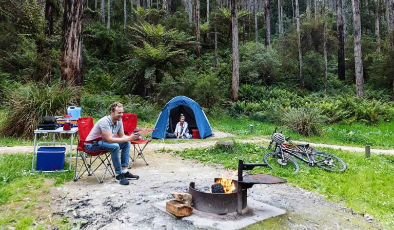
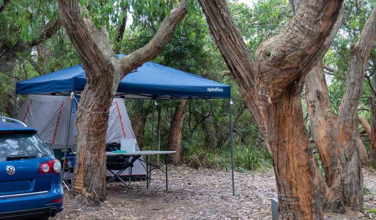
Jamieson Creek Campground
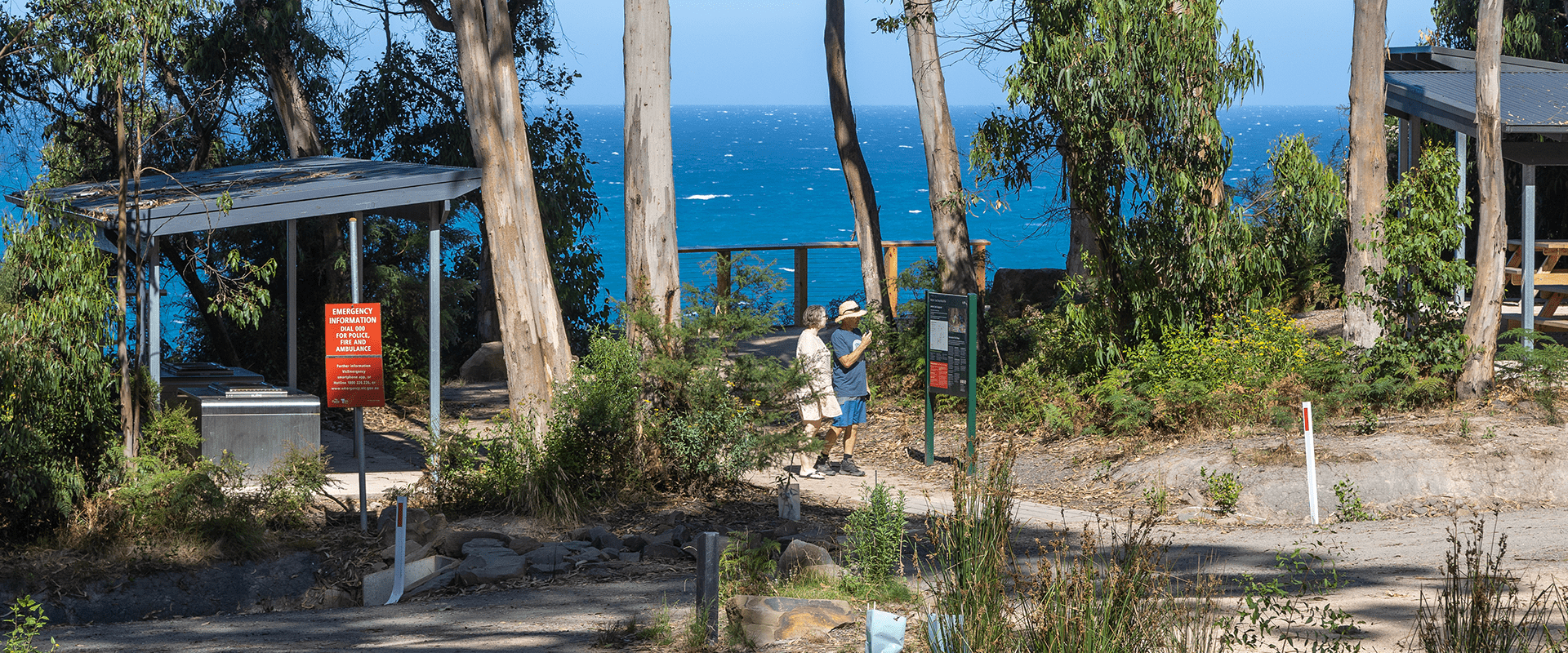
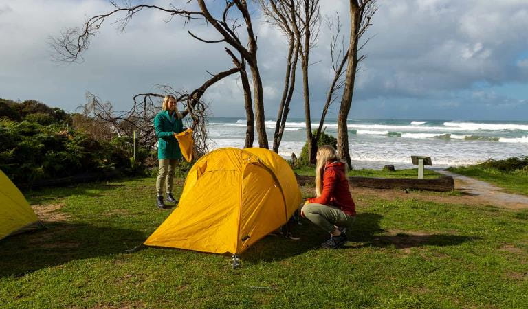
Enjoy panoramic views just meters from the campground looking out over the ocean and surrounding landscapes.
Set among coastal woodland and tall eucalypts, a short distance from Wye River, Jamieson Creek Campground is perfectly positioned to explore 4WD trails, Jamieson Creek walking track and nearby Cumberland River and Lorne trailheads.
Jamieson Creek Campground contains 24 campsites, each accommodating up to six people. Campsites 10-19 have no direct vehicle access and are suitable for tents only. A central carpark is located close by.
Sites 4 and 7 are suitable for caravans, while all remaining campsites cater to tents, camper trailers and campervans. All campsites are unpowered. Campground facilities include non-flush toilets and shared fireplaces - please bring your own firewood. Advanced bookings and payment are required year-round.
From the campground explore the Jamieson Creek Walking Track. This undulating track with staircases and creek crossings is 5.5km one way and links to Wye River. Highpoints offer views through tall eucalypts to the Southern Ocean beyond. Learn about the history of the area from storyboards and listen for birdlife as you walk through forest above the Great Ocean Road.
Things To Do
Cumberland Falls Walk
Erskine Falls
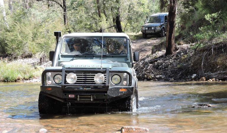
4WD
Lorne
How to get there
Jamieson Creek Campground
Sites
When you're there
Need to know
Jamieson Creek Campground
Accessibility
Visiting a park can be more of a challenge for people with disabilities, however in Victoria there are a wide range of facilities to help people of all abilities enjoy our wonderful parks around the state.
Be prepared and stay safe
Jameson Creek Campground is in the Great Otway National Park in the South West fire district. Bushfires can occur during the warmer months. It is your responsibility to check current and forecast weather conditions. Campfires cannot be lit on days of Total Fire Ban, however gas cookers can be used for preparing food.
Check the Fire Danger Rating and for days of Total Fire Ban at emergency.vic.gov.au, on the Vic Emergency App or call the Vic Emergency Hotline 1800 226 226.
Change of Conditions
Nature being nature, sometimes conditions can change at short notice. It’s a good idea to check this page ahead of your visit for any updates.
-
Great Otway National Park
Great Otway National Park sites closed due to severe flooding
Severe thunderstorms and flash flooding on 16 January 2026 has caused significant damage across parts of the eastern Great Otway National Park.For public safety, the following areas are closed until further notice while assessments and clean-up works are undertaken:Closures included but are not limited to :Erskine falls is limited to the top viewing platform. Access to the base of the falls and along the river track is closed.Roads & TracksWye RdCurtis TrackGodfrey TrackJamieson Track
Walking tracks
St George
Phantom falls
Lemonade ck
Kalimna
Henderson
Sheoak FallsSheoak picnic ground walking Nature LoopCumberland
Cumberland Garvey Link
Kalimna Garvey LinkCora LynnErskine Falls Walking TrackWon WondahAlternative walking tracks can be found at:Moggs Creek picnic areaDistillery Creek picnic areaOcean TrackCastle RockSheoak Falls to Swallow cavesMany roads, tracks and visitor facilities are impacted by debris, flooding and unstable conditions.The Great Ocean Road has been impacted,Always follow safety signage and directions from response crews, and do not enter any closed areas.Thank you for your patience and understanding as works are undertaken to make these popular areas safe to visit again.
Similar experiences
Parker Hill Campground
Blanket Bay Campground