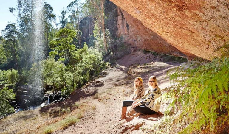
Wild Dog Falls and Lookout – 1.5km, 40 minutes one way
Start at the carpark on the Mount Samaria road and follow the track to the top of the waterfalls. Here you can take in the panoramic views over Lake Nillahcootie and the Strathbogie Ranges or have a picnic at the peaceful Wild Dog Creek Campground.
Back Creek Falls – 1.5km, 40 minutes one way
Start at the carpark on the Mount Samaria Road and follow the Wileman Track to this gently cascading waterfall.
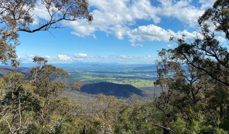
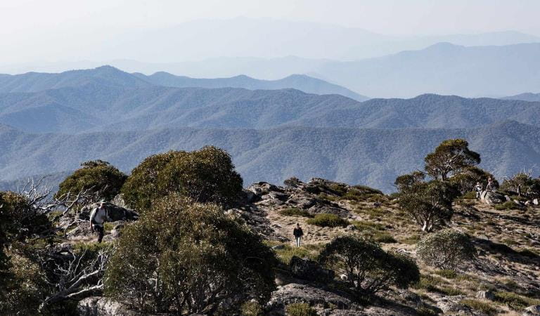
Mount Samaria Summit – 2km, 60 minutes one way
Start on the Mount Samaria Road and climb to Mount Samaria's 953m peak for incredible 360-degree views across the Alps and lowlands. For the more adventuresome the Mt Samaria Summit walk also links to Spring Creek Campsite (5.2km, 2.5hrs one way) and Wild Dog Creek Campsite (2.2km, 1hr one way).
Tramline Track – 3.8km, 1.5hr one way
Start near the Spring Creek Sawmill site and follow the old timber tramline across the plateau and down to the remains of the Braking Station. Along the way you might be able to spot the remnants of the old timber line, and marvel at the enormous trees that live here.
Wileman Track – 7km, 3.5hrs one way
Links Back Creek Falls and Wild Dog Creek falls on this longer trek through the heart of the park. Leave your vehicle at the carpark at either end of the track, or return along the main road to make it a circuit. This walk passes through the Camphora Campsite on the way.
Kiln Nature Walk – 250m, 15 minutes one way
A short easy walk that starts and finishes at the Kilns and takes in the green and sheltered area along Spring Creek under the towering Messmate Eucalypts.
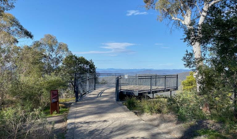
Rocky Point Lookout
Take a short, 10-minute walk from Mt Samaria Road to enjoy the views over Mansfield and the High Country.
Things To Do
Camping
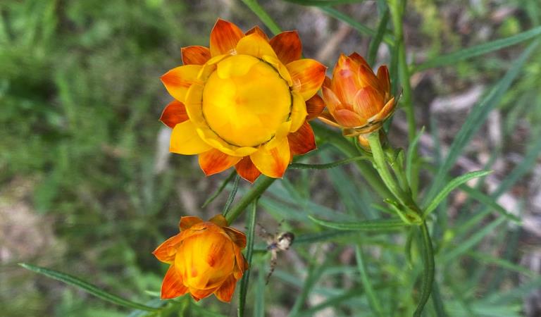
Wildflowers
Driving
How to get there
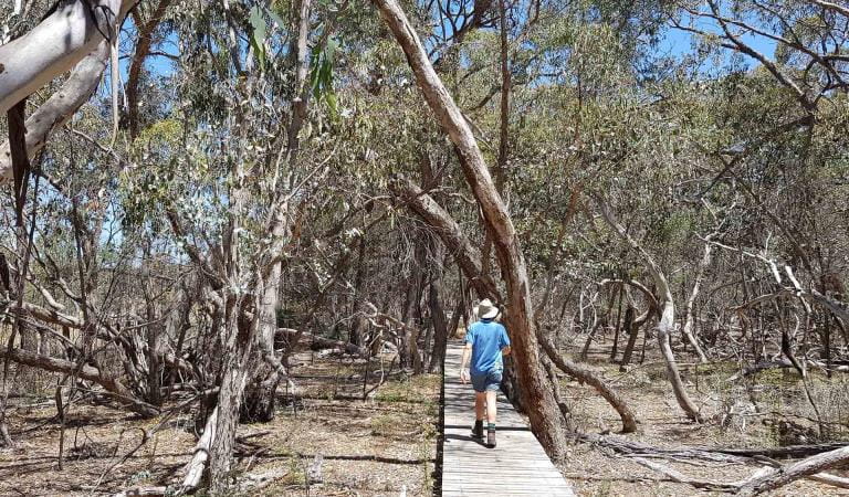
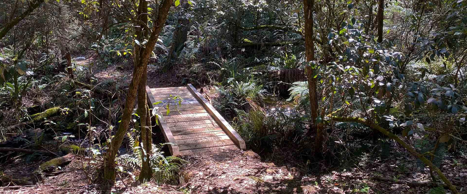
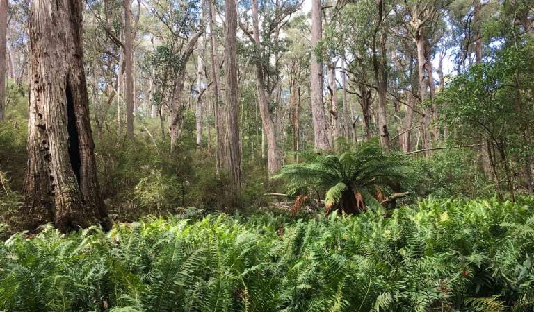
Walking
Need to know
Walking
Accessibility
Visiting a park can be more of a challenge for people with disabilities, however in Victoria there are a wide range of facilities to help people of all abilities enjoy our wonderful parks around the state.
Assistance dogs are welcome in Parks Victoria parks and reserves. Entry requirements apply for parks and reserves that are usually dog prohibited, such as national parks.
Change of Conditions
Nature being nature, sometimes conditions can change at short notice. It’s a good idea to check this page ahead of your visit for any updates.
-
Notices Affecting Multiple Parks
Ground shooting operations targeting deer
Control operations (ground shooting) targeting deer are undertaken in this area. The Park will remain open to visitors during operations.
For more information about deer control to protect biodiversity, please visit our Deer page.
Similar Trails
Powers Lookout
Bushwalking in Howqua Hills Historic Area and the Alpine National Park
Paradise Falls
Mount Cobbler Walk