Explore
Proposed Murray River Park (part)
Volunteer
How to get there
Proposed Murray River Park (part)
Need to know
Proposed Murray River Park (part)
Safety in nature
You can benefit both mind and body when you get outdoors to explore and experience Victoria's natural places. Before you go, take a look at our safety tips and check our changed conditions and closures information for a great visit.
Accessibility
Visiting a park can be more of a challenge for people with disabilities, however, in Victoria there are a wide range of facilities to help people of all abilities enjoy our wonderful parks around the state. Parks Victoria provides a range of a equipment, including all-terrain and beach wheelchairs, facilities, accommodation and accessibility information and programs to help you plan and enjoy your visit to Victoria's parks.
Assistance dogs are welcome in Parks Victoria parks and reserves. Entry requirements apply for parks and reserves that are usually dog prohibited, such as national parks.
Change of Conditions
Nature being nature, sometimes conditions can change at short notice. It’s a good idea to check this page ahead of your visit for any updates.
-
Notices Affecting Multiple Sites
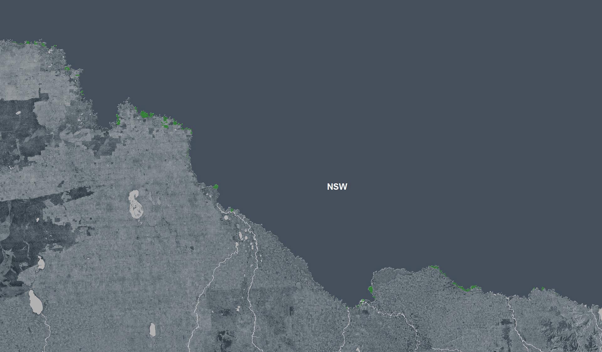
Temporary closure due to inundation - Yarrawonga Regional Park and River Murray Reserve between Yarrawonga and Cobram
Water releases from Yarrawonga Weir are continuing to cause river level rises along the Murray River between Yarrawonga and Barmah – inundating low lying areas adjacent to the river. The following areas remain closed:Yarrawonga CommonChinamans BendForgesBruce’s BendNevins BendBourkes BendCobrawonga IslandScotts BeachCampsites and areas close to the river between Yarrawonga and Cobram continue to be affected. Floodwater is impacting access tracks, making them impassable to all vehicle types.Stay informed - monitor your local conditions and remain alert.- Move
vehicles, caravans, camping equipment and other belongings away from
low-lying areas before access is cut off.
- Parks
Victoria has closed some park access gates due to the rising river levels.
These closures are in place for your safety.
- Do
not drive through floodwater or around road closure signs.
- Avoid
walking through flooded areas.
- Boating
in floodwaters is dangerous due to debris, submerged trees and other
hidden dangers.
Barmah National Park, Barmah Island and Ulupna Island, partial closures
Barmah National Park, Proposed Marry River Park (Part) & Tocumwal Regional Park (Part) have been subject to flood which has resulted in the need to close many areas for public safety.Most tracks and visitor sites within these Parks have become inaccessible to motorised vehicles due to localised rain and flooding.Take care and monitor the situation• Additional areas may be closed or become inaccessible at any time.• we encourage community members to take extra care around rivers, creeks and lakes as water levels may rise quickly and without warning. We encourage those travelling to new or unfamiliar areas to exercise additional caution.• If camping, never camp under trees or branches and avoid camping on low-lying land near creeks, rivers, streams and other waterways.• If conditions outside appear dangerous over the coming days, please stay inside. If you are driving and conditions deteriorate, safely pull over away from drains, trees, low-lying areas and floodwater.• Stay up-to-date with any warnings issued by downloading the VicEmergency app and establishing a personal watch zone for your local area or the area you are travelling to. Updated forecasts are also available on the Bureau of Meteorology website at bom.gov.au.• Local flood guides are also available at ses.vic.gov.au to aid preparation.See the attached map for further detail.Attachments: Barmah National Park 13 July 2026(2) (5,565KB)
Construction Underway- Coreena Bend
Construction Underway- Coreena BendWork is underway at various sites to improve access for visitors, park users, and emergency services, helping more people enjoy parks.Construction works will include upgrading ageing infrastructure to improve access and deliver beneficial environmental and conservation outcomes.Construction detailsWorks commence: Monday 1 June 2026.Track closed: Monday 1 June 2026 to Friday 31 July 2026 (no vehicle or pedestrian access).Closed areas include River Track (part).Access during worksDispersed camping is available at the upstream end of Coreena Bend via Currans Track or via Happy Valley Landing off Hocking Road.Thank you for your patience while these important works are carried out.Attachments: RFMF Signs_Repair_Works_Underway_Coreena (1) (163KB)
- Move
vehicles, caravans, camping equipment and other belongings away from
low-lying areas before access is cut off.
How we keep it special
More people are connecting with Victoria’s natural and cultural landscapes than ever before, which is why Parks Victoria supports healthy and resilient parks for current and future generations.
Parks Victoria is responding to climate change, extreme weather events, human impacts, previous land management practices, invasive species and the changing distribution of plants and animals that is challenging park management and conservation efforts.
Working with Traditional Owners, partners, communities and individuals, Parks Victoria is investing in nature’s future through joint management, projects to enrich visitor experiences and programs to protect habitats and cultural heritage.