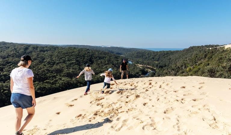
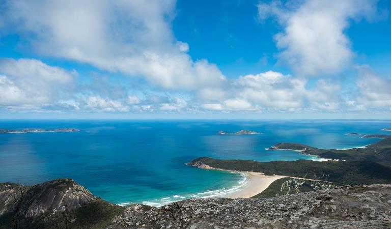
Yeerung River and Beach is an idyllic place to spend a day as part of your holiday to Cape Conran or Marlo. There are long and short walks, and the lazy river is a safe place to swim and a magical place to canoe. There is plenty of space on the beach for surfing.
It can be difficult to find a safe swimming spot along the wild and unspoilt coast of East Gippsland. So Yeerung Beach is a real gem. Here, the Yeerung River forms a long, languid bend before it meets the sea, creating a placid swimming hole that's perfect for kids.
Yeerung River and Beach is a great day out from Banksia Bluff, Marlo or Sydenham Inlet. Well away from any centres of population, you will find seclusion, although bear in mind that with the tranquility comes few facilities: just a canoe launch ramp and picnic tables.
There are easy walks, such as the Estuary View Walk, and longer walks, such as the Dock Inlet Walk (which you can turn into an overnight hike).
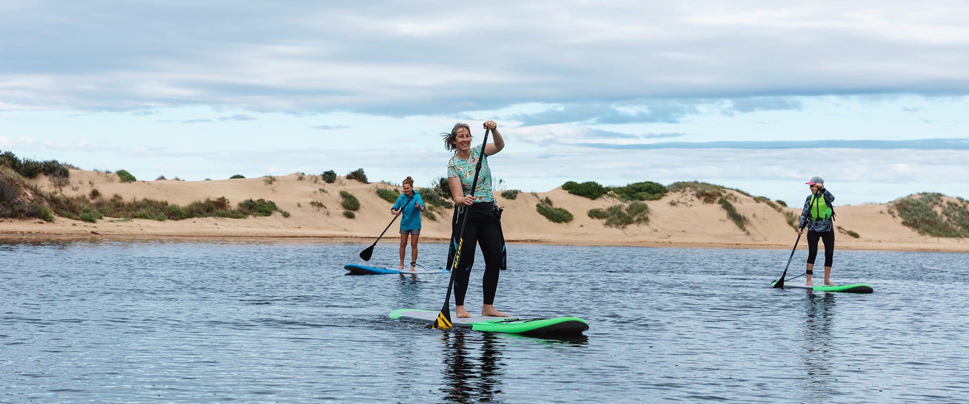
A launch area gives canoeists and kayakers access to the tannin-stained waters of the Yeerung and amazing wildlife such as Pilotbirds and Southern Emu Wrens that call the river home.
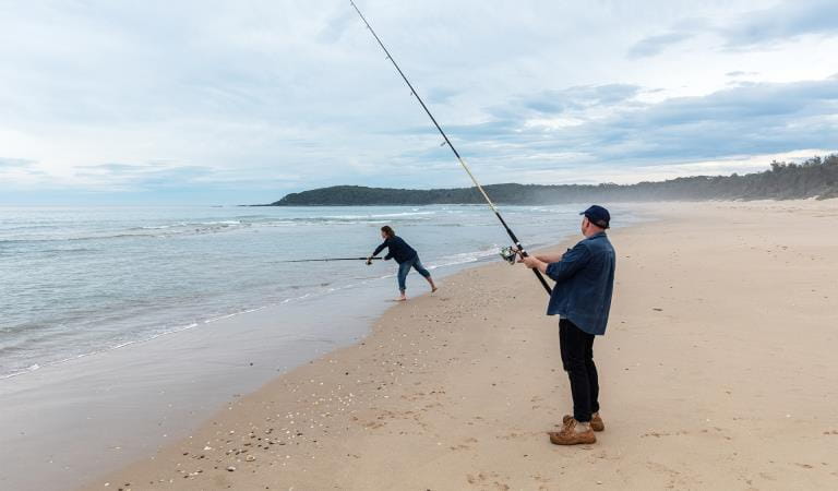
Down on the beach, the golden sands stretch off into the distance, offering plenty of room for surfers and surf fishers alike.
Things to do
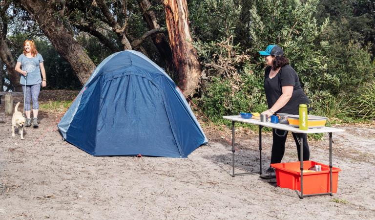
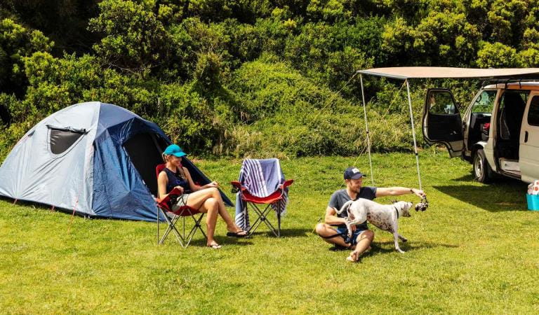
Banksia Bluff Campground
Non-bookable camping within Cape Conran Coastal Park
East Cape
How to get there
Yeerung River and Beach
Yeerung River and Beach is at the western end of Cape Conran Coastal Park, not far from Marlo. Take Marlo Road C107 from the Princes Highway. Keep going until it becomes Cape Conran Road and then turn off onto Yeerung River Road a few hundred metres later.
You can park at Yeerung Beach, the canoe launch area or the bridge over the Yeerung River (turn off onto Pearl Point Track).
When you're there
The Yeerung Gorge Walk is some distance away and best accessed by car along Pearl Point Track and then East Yeerung Track.
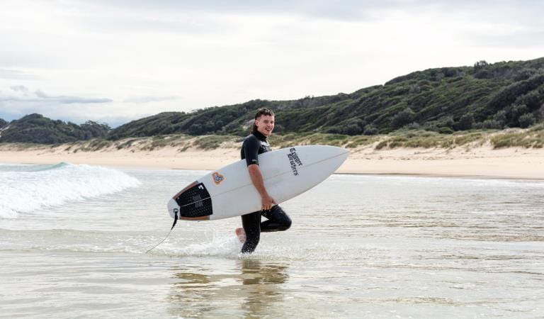
Although experienced surfers will enjoy Yeerung Beach, less experienced surfers will be safer surfing at East Cape.
Download the Cape Conran Coastal Park visitor guide before your visit.
Need to know
Yeerung River and Beach
Accessibility
Visiting a park can be more of a challenge for people with disabilities, however in Victoria there are a wide range of facilities to help people of all abilities enjoy our wonderful parks around the state.
Assistance dogs are welcome in Parks Victoria parks and reserves. Entry requirements apply for parks and reserves that are usually dog prohibited, such as national parks.
Change of Conditions
Nature being nature, sometimes conditions can change at short notice. It’s a good idea to check this page ahead of your visit for any updates.
-
Banksia Bluff Campground (Cape Conran Coastal Park)
Banksia Bluff Campground - Temporary closure periods
To allow for essential works within Banksia Bluff Campground, there will be limited bookings available across the below periods:
Monday 2 March - Friday 13 March 2026: Loop A campsites closed.
Monday 16 March - Friday 27 March 2026: Loop B campsites closed.
Monday 4 May - Friday 18 September 2026: Loops A + B + C + D + E + F campsites closed. -
Notices Affecting Multiple Parks
Planned aerial shooting operations targeting deer
Control operations (aerial shooting) targeting deer are planned for this area. During operations parts of the Park will be closed to visitors. More information on closures will be posted a minimum of 4 weeks prior to commencement.Visitors are advised to check the Change of conditions listing prior to arrival for up to date information and maps.For more information about deer control to protect biodiversity, please visit this link.Ground shooting operations targeting deer
Control operations (ground shooting) targeting deer are undertaken in this area. The Park will remain open to visitors during operations.
For more information about deer control to protect biodiversity, please visit our Deer page.
Similar Experiences
Johanna Beach Campground
Norman Beach