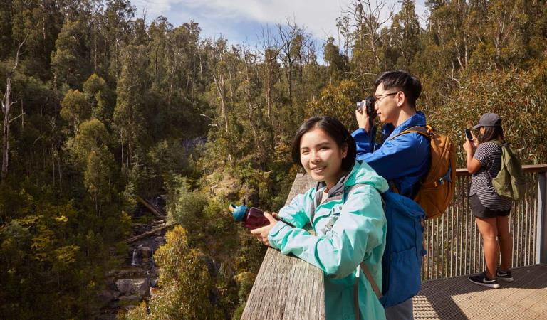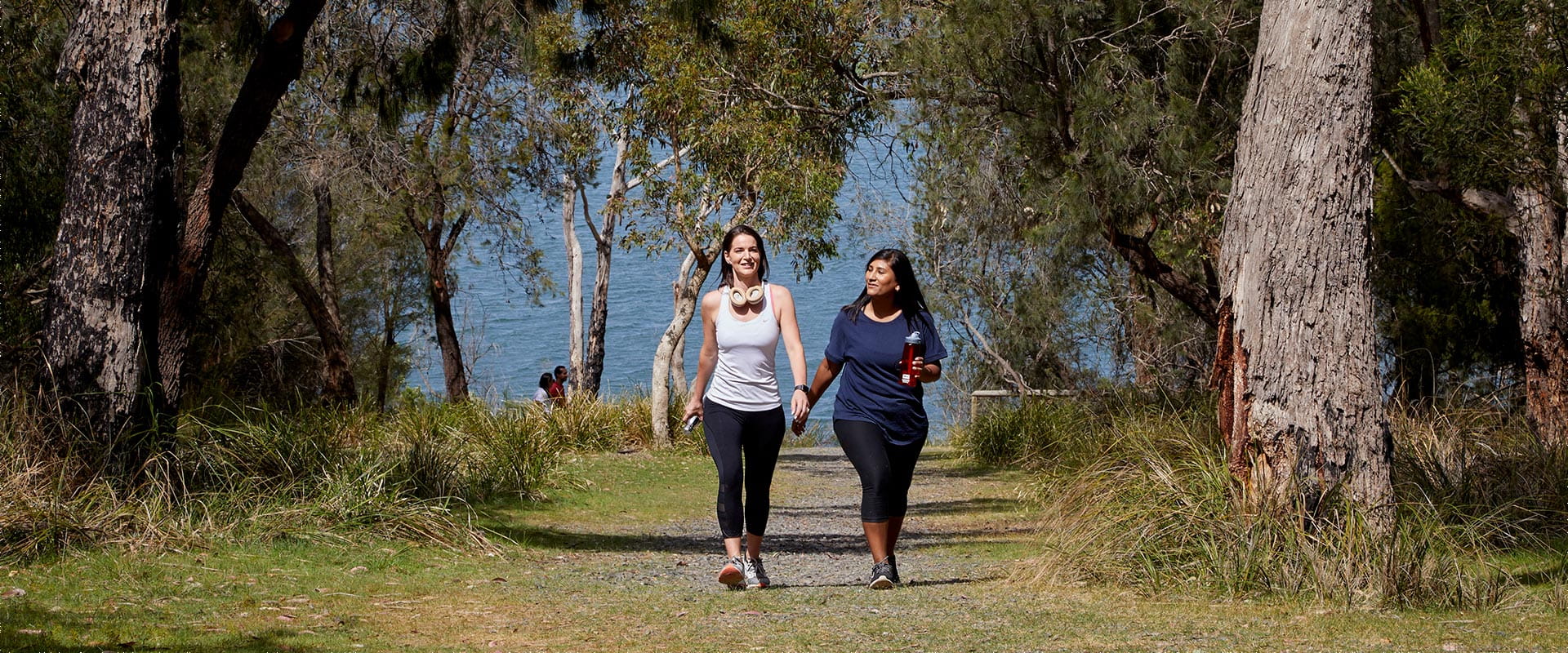
Enjoy the beautiful scenery of Lysterfield Park on the Lake Circuit Trail. Walk, run or cycle this popular trail, which weaves among native vegetation around the picturesque Lysterfield Lake. You're almost guaranteed to see kangaroos and other wildlife along the way.
Explore dry forest and woodland on this family-friendly bushwalk at Lysterfield Park, or hop on your bike and go for a pleasant ride.
The Lake Circuit Trail is Lysterfield Park's most popular trail for walkers, runners and families, with a mostly flat wide gravel surface and two short hills. You will find distance markers every 1km making navigating this trail easy. This trail (5.5km circuit - 1.5 hour walk) is also suitable for bicycles and off-road prams.
One of the best places near Melbourne to see kangaroos and wallabies in the wild, you might also see koalas and echidnas if you're lucky. Visit close to dawn or dusk for the best chance to see wildlife.
Cross the dam wall and enjoy panoramic views of Lysterfield Lake. As you wander deeper into the forest, you'll catch glimpses of the sparkling water peeking through the trees.
Take a peaceful break at the three jetties along the trail. Enjoy scenic views of the tranquil lake and see if you can spot any waterbirds. Lysterfield Lake is a haven for a variety of species such as the Eurasian Coot and Eastern Swamphen. You might even be treated to a special visit by the migratory Japanese Snipe.
The Lake Circuit Trail links to a vast network of walking and cycling tracks in Lysterfield Park, which connects to neighbouring Churchill National Park. For a more adventurous bushwalk, follow the Granite Peak Trail as it climbs uphill to Trig Point, where you can admire 360-degree views of Melbourne.
Things to do
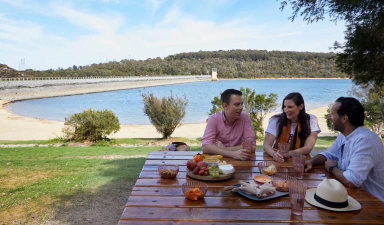
Picnic areas in Lysterfield Park
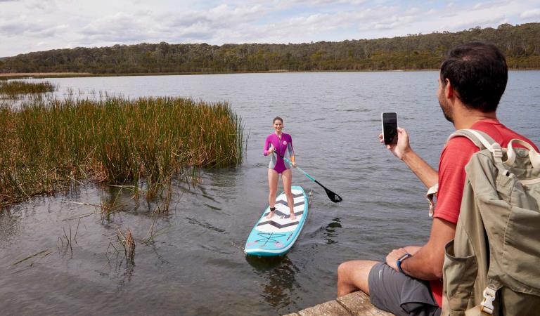
Lysterfield Lake
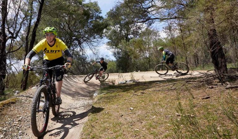
Mountain biking at Lysterfield Park
How to get there
Lake Circuit Trail
Need to know
Lake Circuit Trail
Accessibility
Change of Conditions
Nature being nature, sometimes conditions can change at short notice. It’s a good idea to check this page ahead of your visit for any updates.
-
Lysterfield Park
Some barbeques not in operation
Parks Victoria is carrying out inspections in all of our barbecues in our parks. Following these inspections, some barbecues have been temporarily closed until they can be attended by a licenced contractor. We apologise for the inconvenience this has caused.Visitor safety is our top priority and we advise people to please not to use any barbecue facilities that have been closed. We expect the impacted barbecues to reopen in the coming weeks.Notification of Deer Control Program
Lysterfield Park (northern conservation zone) will be closed while ground shooting operations targeting deer are undertaken. Park closures will apply to affected areas overnight, between the hours of 4.00 pm and 8.00 am on a number of nights between 1 March 2026 and 30 May 2026.For reasons of public safety, the affected park area will be inaccessible during these nights. When control is taking place, signage will be posted at all main access gates. For your safety please observe the signage during this time and do not enter the reserve.Please see the attached map of the control area.For more information about the program please visit this link or call 13 19 63.Attachments: Control Area LNCZ (470KB)
-
Notices Affecting Multiple Sites
Notification of Fox Control Program
Parks Victoria are undertaking fox control in Lysterfield Park, Churchill National Park and Baluk Willam Nature Conservation Reserve to relieve predation of vulnerable and threatened native fauna and minimise impacts on neighbouring farm values.The program involves the use of Canid Pest Ejectors with para-aminopropiophenone (PAPP) poison, cage and soft-jaw leghold traps to reduce fox numbers in strategic locations.Domestic animals (dogs and cats) are prohibited from entering all park areas and may be at risk if they do so.Fox control will occur until June 2026. For more information about the program please visit this link or call 13 19 63.Please see the attached map of the control area.Attachments: Control Area (LP, CNP, BWNCR) (619KB)
Similar experiences
Picnic areas in Albert Park