Lysterfield Lake is very popular for canoeing, kayaking and sailing.
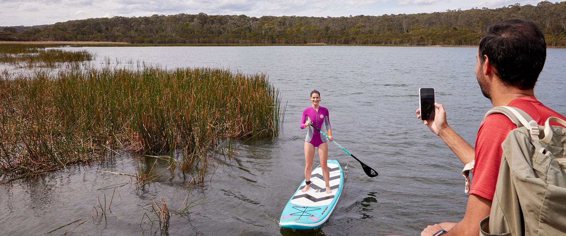
Lysterfield Lake also offers two beaches suitable for walk in swimming access both located near Beach Carpark at the southern end of the lake. The lake is not patrolled by lifeguards and children should be supervised at all times. Due to unpredictable depths and waterbird habitat, swimming is not permitted elsewhere in the lake. The boat ramp allows access for sailing, canoeing, and stand up paddle boarding (no powered vessels allowed).
There is lots to explore on the large lake. Go canoeing or kayaking to view waterbirds and habitat that can't be seen from land. On a calm day, the lake is a perfect place to refine your stand-up paddle boarding.
The 82ha lake is a great place for non-powered boating and sailing. Boat trailer parking is available and there is a boat launching and rigging zone. Model boating is allowed, but only non-powered craft can be used.
Go sailing on monohull boats up to 5 metres long or multi-hull boats up to 4.3 metres long. Lysterfield Sailing Club welcomes new members. Call Parks Victoria on 13 1963 for more information.
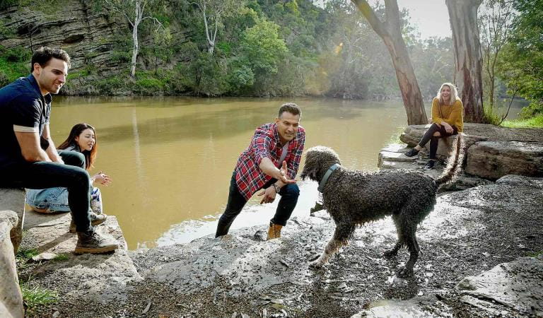
As rivers, lakes and reservoirs are natural environments, you may encounter hazards. Follow our water safety advice together with the water safety signage in the park to make sure your day out Lysterfield Park is a safe and enjoyable one.
Things to do
Lake Circuit Trail
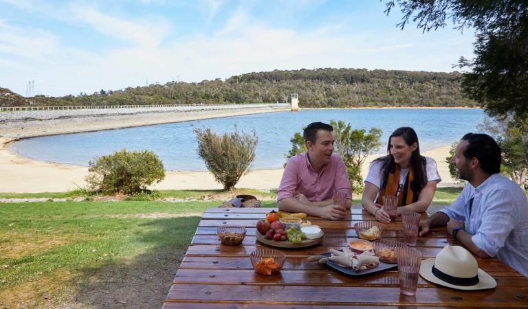
Picnic areas in Lysterfield Park
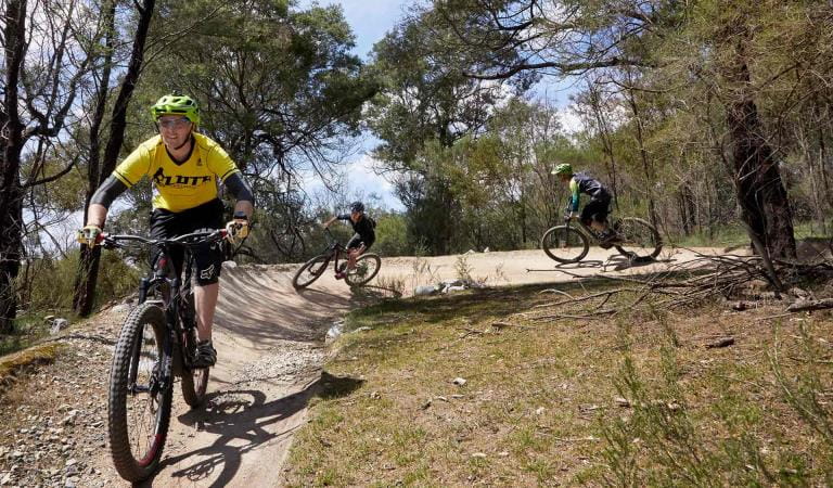
Mountain biking at Lysterfield Park
How to get there
Lysterfield Lake
Need to know
Lysterfield Lake
Accessibility
Change of Conditions
Nature being nature, sometimes conditions can change at short notice. It’s a good idea to check this page ahead of your visit for any updates.
-
Other issues
Some barbeques not in operation
Parks Victoria is carrying out inspections in all of our barbecues in our parks. Following these inspections, some barbecues have been temporarily closed until they can be attended by a licenced contractor. We apologise for the inconvenience this has caused.Visitor safety is our top priority and we advise people to please not to use any barbecue facilities that have been closed. We expect the impacted barbecues to reopen in the coming weeks. -
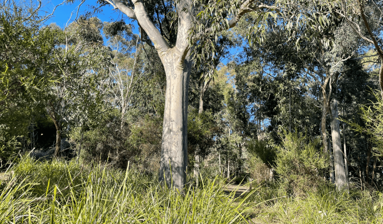
Lysterfield Park
Notification of Deer Control Program
Lysterfield Park (northern conservation zone) will be closed while ground shooting operations targeting deer are undertaken. Park closures will apply to affected areas overnight, between the hours of 4.00 pm and 8.00 am on a number of nights between 1 October 2025 and 13 December 2025.For reasons of public safety, the affected park area will be inaccessible during these nights. When control is taking place, signage will be posted at all main access gates. For your safety please observe the signage during this time and do not enter the reserve.Please see the attahed map of the control area.For more information about the program please visit this link or call 13 19 63.Attachments: Control Area LNCZ (470KB)
Notification of Deer Control Program
Lysterfield Park (northern conservation zone) will be closed while ground shooting operations targeting deer are undertaken. Park closures will apply to affected areas overnight, between the hours of 4.00 pm and 8.00 am on a number of nights between 1 March 2026 and 30 May 2026.For reasons of public safety, the affected park area will be inaccessible during these nights. When control is taking place, signage will be posted at all main access gates. For your safety please observe the signage during this time and do not enter the reserve.Please see the attached map of the control area.For more information about the program please visit this link or call 13 19 63. -
Notices Affecting Multiple Sites
Notification of Fox Control Program
Parks Victoria are undertaking fox control in Lysterfield Park, Churchill National Park and Baluk Willam Nature Conservation Reserve to relieve predation of vulnerable and threatened native fauna and minimise impacts on neighbouring farm values.The program involves the use of Canid Pest Ejectors with para-aminopropiophenone (PAPP) poison, cage and soft-jaw leghold traps to reduce fox numbers in strategic locations.Domestic animals (dogs and cats) are prohibited from entering all park areas and may be at risk if they do so.Fox control will occur until June 2026. For more information about the program please visit this link or call 13 19 63.Please see the attached map of the control area.Attachments: Control Area (LP, CNP, BWNCR) (619KB)
Similar experiences
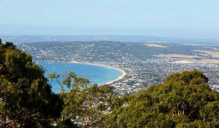
Arthurs Seat State Park
Churchill National Park
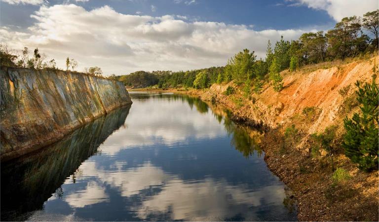
Devilbend Natural Features Reserve