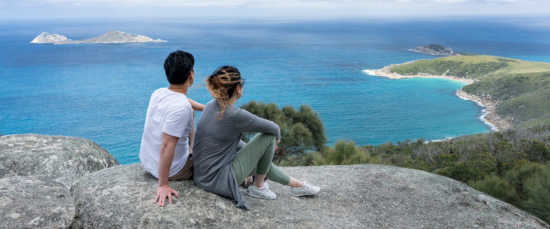
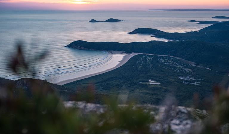
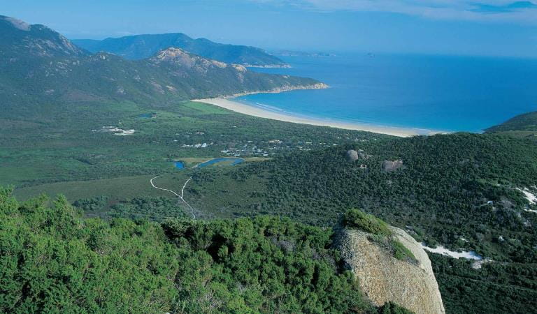
Offering magnificent views over Darby Swamp, Vereker Range and Darby Beach, The Darby River to Tongue Point Walk climbs an ancient sand dune before following the weathered headland towards Tongue Point. And don’t miss out on a break at the quaint Fairy Cove, enclosed by the iconic boulders of Wilsons Prom.
This brilliant coastal walk climbs gently from the Darby River Carpark and over Darby Hill, an ancient sand dune, before hugging the windswept headland. Don’t forget to look back towards Darby Swamp on your climb. Take in the views over the Darby River, as it snakes through the deep valley towards the Vereker Range.
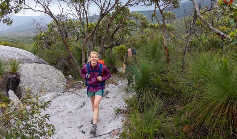
As you make it over the saddle, the sandy terrain soon gives way to dense coastal heath jewelled with stacks of weathered granite. The chance of spotting wallabies amidst the coastal heath is ample. And while you are less likely to cross paths with echidnas and wombats, they can be seen foraging among the thick shrub – especially dusk or dawn, when they are most active.
On the walk, a short detour down to Fairy Cove is a must! The sheltered beach lies not too far from the tip of the tongue and its white sandy beach enclosed by granite boulders and crystal-clear waters make for the perfect snorkel or swim spot.
The final stretch of the walk meanders along the ever-narrowing headland with Shellback and Norman Island standing tall over the rough swells of Bass Strait. A semi-detached island, just beyond reach marks the end of the scenic walk.
Return via the same route or for a different view of Wilsons Prom, organise a car shuffle and finish your journey at Darby Saddle.
Things to do
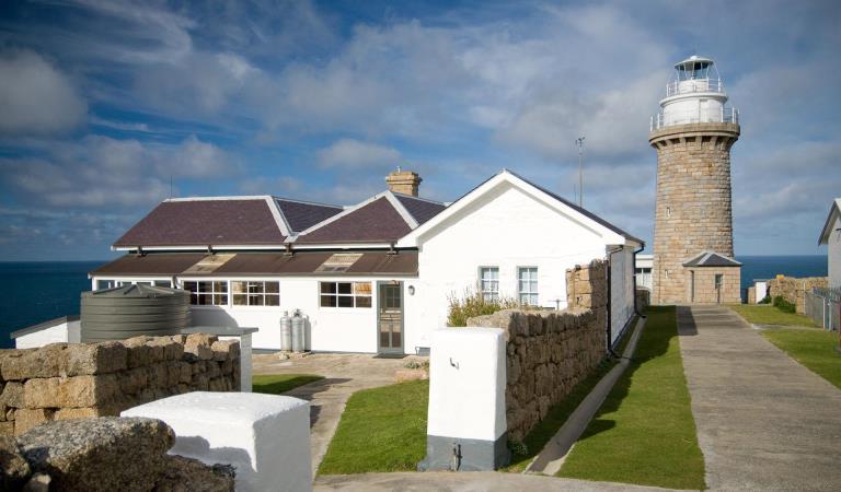
Wilsons Promontory Lightstation
The perfect place to witness the Prom’s rugged coastal environment while staying in self-contained dormitory-style or private cabin accommodation. The Lightstation can only be reached on foot (minimum 19.1km one way). The walk is challenging (5-6 hours), requiring a high level of fitness.
Mount Oberon
Starting from the Telegraph Saddle car park, this iconic Prom walk follows the management vehicle track to the summit of Mount Oberon.Steps below the rocky summit lead to postcard perfect, panoramic views over Tidal River, the coast and offshore islands.
Wilsons Promontory Northern Overnight Hikes
Up for more of a challenge? Try the Northern Circuit hiking and camping through the park.
Mount Bishop
Follow the Lilly Pilly Gully Circuit Track and turn off at the side track that leads to the rocky summit of Mt Bishop. Magnificent views are offered of the Prom’s west coast and off shore islands. Retrace your steps to the car park or return via Lilly Pilly Gully Nature Walk.
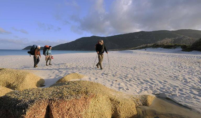
Wilsons Promontory Southern Circuit Overnight Hikes
Hike your way to overnight camping sites and sleep in bookable shady campsites with views of glassy torquoise water.
How to get there
Darby River to Tongue Point
Wilsons Promontory National Park is a good 3-hour drive from Melbourne. For the quickest route from Melbourne, follow the Monash Freeway east. Turn off at Pakenham and follow signs towards Koo Wee Rup before connecting with the South Gippsland Highway and heading towards Wilsons Promontory.
The Darby River Carpark, from where the walk begins, lies approximately 18-kilometres or a 15-minute drive from the park entrance.
Organise a car shuffle on your visit to Tongue Point. An alternate trail allows walkers to return via the Darby Saddle to Tongue Point Walk and offers a different view out over Wilsons Prom.
When you're there
While the Darby River to Tongue Point Walk is spectacular, Wilsons Promontory hides an unprecedented amount of scenic, overnight and accessible walks. Download the Wilsons Promontory Visitor guide for more information.
Need to know
Darby River to Tongue Point
Accessibility
Visiting a park can be more of a challenge for people with disabilities, however in Victoria there are a wide range of facilities to help people of all abilities enjoy our wonderful parks around the state.
Assistance dogs are welcome in Parks Victoria parks and reserves. Entry requirements apply for parks and reserves that are usually dog prohibited, such as national parks.
Change of Conditions
Nature being nature, sometimes conditions can change at short notice. It’s a good idea to check this page ahead of your visit for any updates.
-
Notices Affecting Multiple Sites
Stockyard Campground & Toilet Block Closed
Stockyard Campground and Toilet Block are closed until further notice.Invasive Species Control Programs 2025 - 2027
Wilsons Promontory National Park will be conducting invasive species control programs from 1 July 2025 – 30 June 2027. Introduced species such as deer, rabbits, foxes and feral cats are all major threats to nature.
By removing introduced hog deer and rabbits, we are reducing grazing pressure on the incredible variety of native plants and plant communities, including some that are nationally threatened. By targeting foxes and feral cats, we are reducing the threat of predation for native species such as the Southern Brown Bandicoot, Long-nosed Potoroo, Ground Parrot, New Holland Mouse, Eastern Pygmy Possum and the Hooded Plover.
All animal control programs are carried out under strict conditions, compliant with all relevant legislation, Codes of Practice and Standard Operating Procedures, designed to ensure safe, effective, and humane practices are implemented.
For further information, please visit Prom Sanctuary. -
Wilsons Promontory National Park
Sealers Cove boardwalk is closed
The Sealers Cove boardwalk needs to be rebuilt, following major storm and flood damage.This will be a major and complex project. It will replace two kilometres of boardwalk over sensitive terrain while sensitively managing the surrounding environment.There is currently no public access to the boardwalk, and access to Sealers Cove is only possible via a 25km hike from Telegraph Saddle.For more information, including expected timeframes for the rebuild, visit the Sealers Cove Boardwalk project page.


