Explore
Wilsons Promontory Lightstation
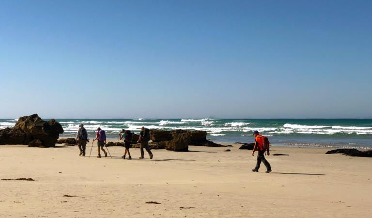
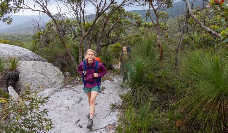
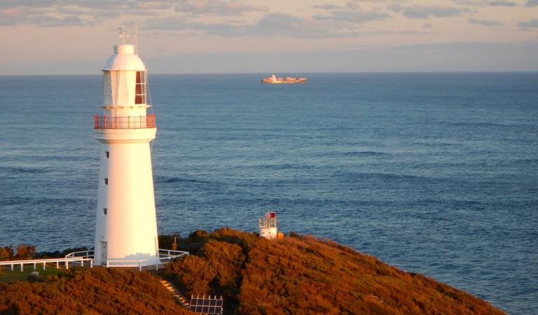
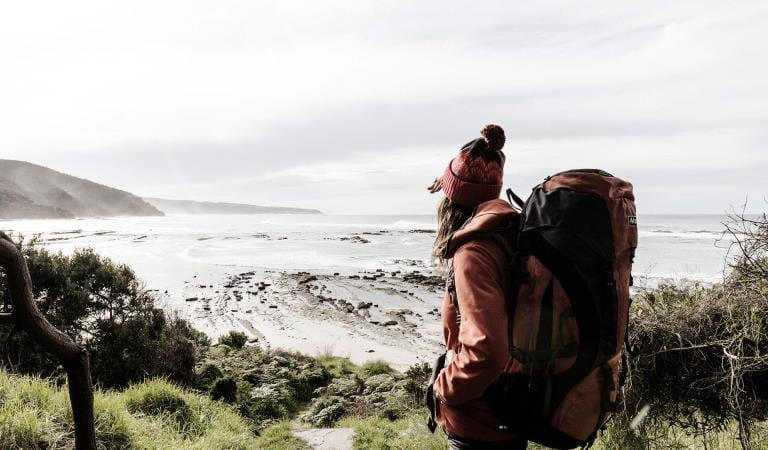
Perched on a small peninsula jutting out into the wild seas of Bass Strait, the Wilsons Promontory Lighthouse and its historic residences are the southernmost settlement on the Australian mainland. Adding to its remote appeal, the lightstation is only accessible by foot, along the Southern Prom Circuit Hikes.
The Lightstation Banks Cottage and the shared cottage accommodation rooms are available to book everyday between the start of the September school holidays to the end of April and then only Friday and Saturday nights in May and June.
The two shared cottages are available to be booked as a whole cottage during our cooler months between Sunday – Thursday in May and June and everyday from the start of July to the start of September school holidays. Get your family and friends together to experience winter at the southern end of the Prom.
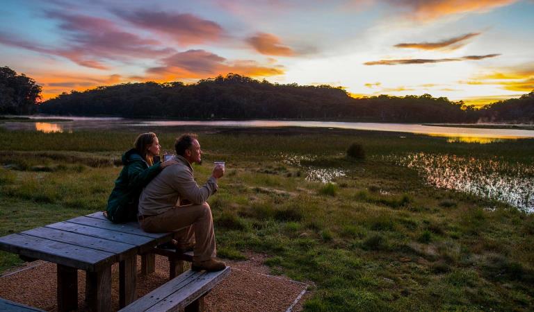
Built in 1859 from local granite, the Wilsons Promontory Lightstation is a perfect place to witness the Prom’s rugged and spectacular coastal environment while staying in the comfort of the historic cottages next to the lightstation.
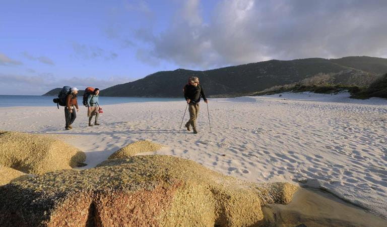
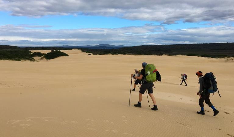
Begin your adventure from the Telegraph Saddle Carpark and climb through eucalypt forest and sandy, coastal tee-tree scrub to reach the lightstation. Or opt for the coastal route and traverse the granite strewn landscapes on your way to Oberon Bay, before cutting inland and heading towards the lightstation.
In the 1800s supplies were delivered to the lighthouse by ship every six months and there was no communication with the outside world. Families, often with children, had the lonely but vital task of keeping the light burning, saving both ships and lives. Today, visitors can taste a little of the lighthouse keeper lifestyle by staying in cottages next to the lighthouse. The cottages are available for individual and group bookings for one or two nights.
The three bookable cottages offer everything you need for a comfortable stay, including a fully equipped shared kitchen with an oven, hotplates, microwave, fridge, cooking utensils, crockery and cutlery.
Things to do in the area
Wilsons Promontory Southern Circuit Overnight Hikes
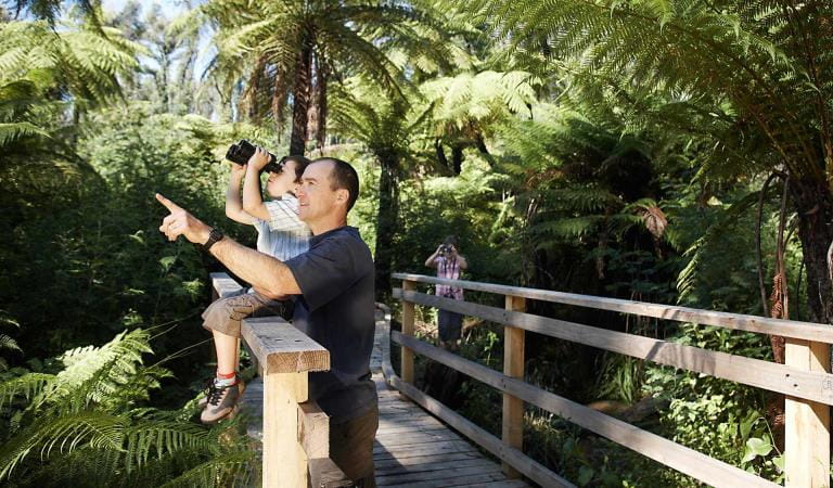
Bird watching
Lighthouses
Sunrises and sunsets
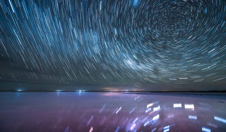
Stargazing
How to get there
Wilsons Promontory Lightstation
Sites
When you're there
Need to know
Wilsons Promontory Lightstation
Be prepared
- Start your walk at least six hours prior to sunset. It is essential that all hikers arrive before dark.
- The walk to the Lightstation is 19.1 km (one way) from Telegraph Saddle car park or 23.8 km (one way) from Tidal River via Oberon Bay.
- Think long and hard about what you are capable of doing before you book accommodation at the Lightstation.
- Try a practice walk of the same length along an undulating bush track whilst carrying a backpack to gauge your ability to walk this distance.
- Carry sufficient drinking water for your walk.
- Wear sturdy walking boots and carry a sun hat, sun screen and waterproof clothing.
- Check the latest weather forecast.
- Mobile Phone coverage cannot be relied upon.
- Wilsons Promontory National Park will close on days of declared Catastrophic Fire Danger for the West & South Gippsland Total Fire Ban District.
- A maximum two night stay applies to Lightstation accommodation.
- Check in at the Lightstation is between 2:00pm - 5:00pm and check out time is before 10:00am
- The cottages must be left in a clean and tidy condition.
- Bring your own sleeping bag.
- Pillows and pillowcases are provided.
- You must supply your own towel, food and drinks. Carry lightweight food and remove excess packaging before you depart.
- For the enjoyment of others the maximum group size is 12 people.
Supplying and servicing the Lightstation
- Due to the remote location and lack of vehicle access, the cost of supplying and servicing the Lightstation is not only considered in dollar terms but also in labour, time and resources.
- A helicopter carries supplies to the Lightstation and carries out rubbish and other materials every six months. Some supplies can be taken out by boat however like the helicopter supply, this is totally weather dependent.
- A diesel generator provides electricity for the Lightstation. Please help save power – turn off lights when not in use.
- Gas bottles are the bulkiest and most costly resource transported to the Lightstation. Wear a jumper before using the heater. Please turn heaters off when not in use.
- Hard rubbish from the Lightstation has to be removed by helicopter. Please take your rubbish away for recycling and disposal. “Carry out what you carry in”.
- Carry water with you while hiking to the Lightstation. Water is available when you arrive at the Lightstation. Please use water wisely during your stay – short showers help.
Change of Conditions
Nature being nature, sometimes conditions can change at short notice. It’s a good idea to check this page ahead of your visit for any updates.
-
Notices Affecting Multiple Sites
Stockyard Campground & Toilet Block Closed
Stockyard Campground and Toilet Block are closed until further notice.Invasive Species Control Programs 2025 - 2027
Wilsons Promontory National Park will be conducting invasive species control programs from 1 July 2025 – 30 June 2027. Introduced species such as deer, rabbits, foxes and feral cats are all major threats to nature.
By removing introduced hog deer and rabbits, we are reducing grazing pressure on the incredible variety of native plants and plant communities, including some that are nationally threatened. By targeting foxes and feral cats, we are reducing the threat of predation for native species such as the Southern Brown Bandicoot, Long-nosed Potoroo, Ground Parrot, New Holland Mouse, Eastern Pygmy Possum and the Hooded Plover.
All animal control programs are carried out under strict conditions, compliant with all relevant legislation, Codes of Practice and Standard Operating Procedures, designed to ensure safe, effective, and humane practices are implemented.
For further information, please visit Prom Sanctuary.Park closure 5pm Sunday 9th August to 8am Friday 14 August 2026
Wilsons Promontory National Park will be closed to all park visitors from 5pm Sunday 9th August to 8am Friday 14th August 2026 to undertake essential park management and conservation programs.
Similar experiences at other parks
Wilsons Promontory Northern Overnight Hikes
Wilsons Promontory Southern Circuit Overnight Hikes
Wilderness Coast Walk
Great Ocean Walk
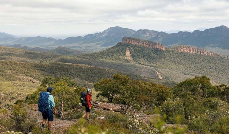
Grampians Peaks Trail
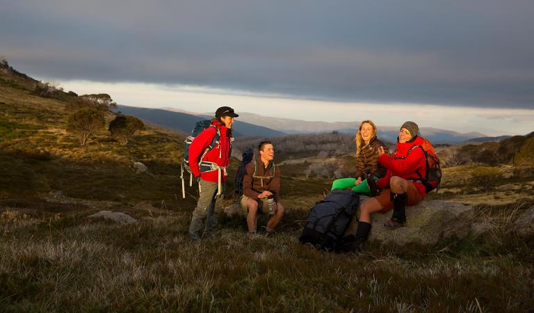
Falls to Hotham Alpine Crossing
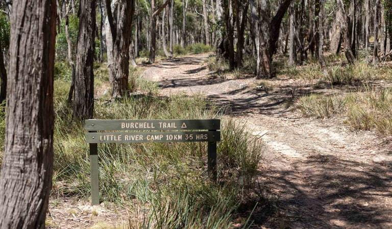
Burchell Trail
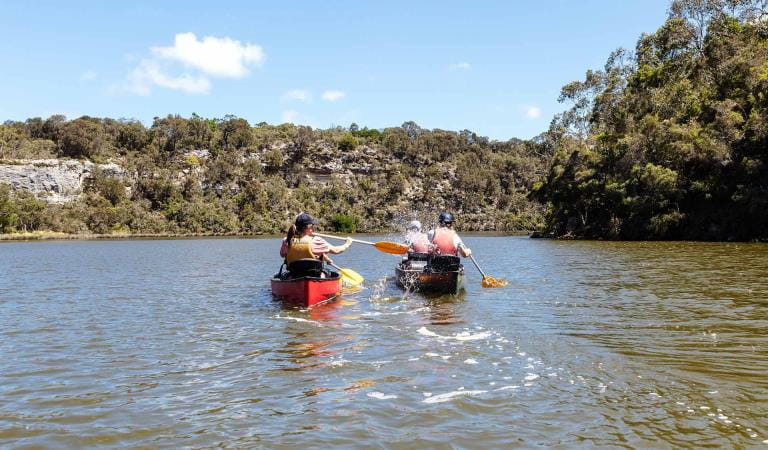
Glenelg River Canoe Trail