Explore
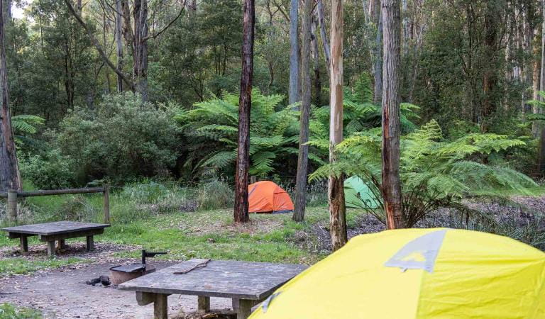
Hammonds Campground
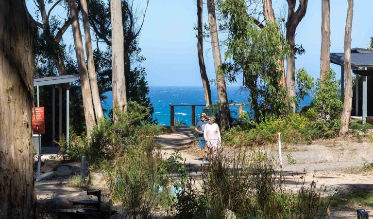
Hammonds Campground is located 12km inland from Aireys Inlet in a natural bush setting. Relax at camp and enjoy the company of kangaroos and other native wildlife or explore one of the many walking and bike riding trails in the area.
Set among dry forest and woodland, Hammonds Campground is an ideal location for wildlife viewing and relaxation. Kangaroos and native birds frequent the area, and if you’re lucky you may even see a koala. Nearby Distillery Creek Day Visitor Area has a range of walks and shared trails for those looking for recreational activities.
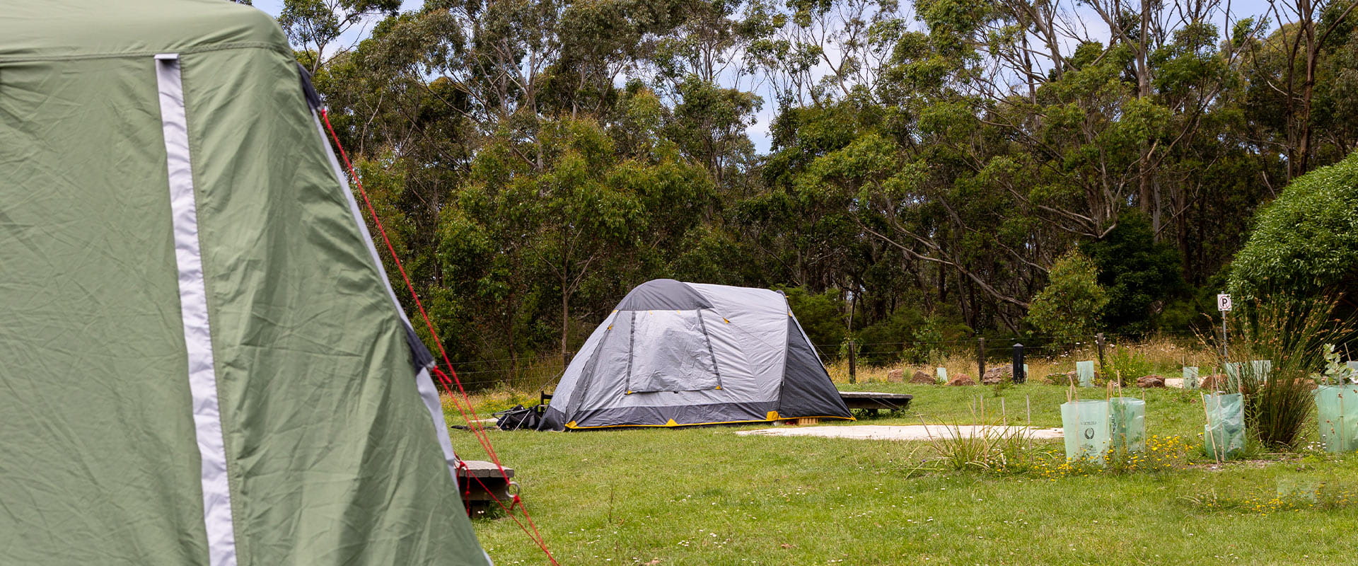
The campground offers 16 campsites, each accommodating up to six people. Sites 1-4 provide direct vehicle access and are suitable for camper trailers and caravans. Sites 5-16 are suitable for tents only with a parking area situated close by. All campsites are unpowered.
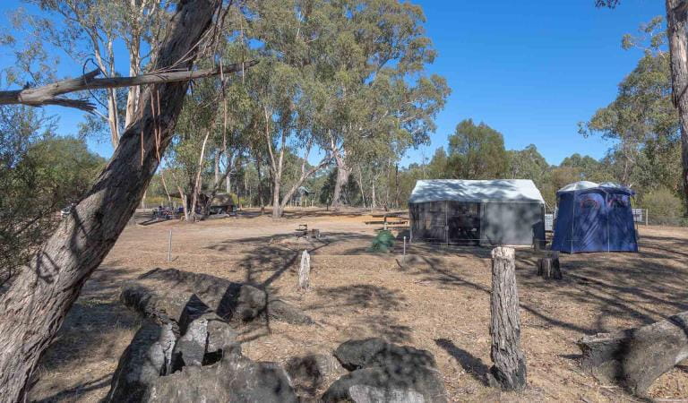
Campground facilities include non-flush toilets, shared fireplaces and shared low tables/seats. Remember to bring your own firewood to protect the surrounding wildlife habitat. Advanced bookings and payment are required year-round.
Things To Do
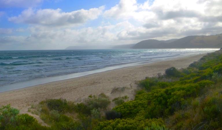
Anglesea and Aireys Inlet
Lorne
Moggs Creek
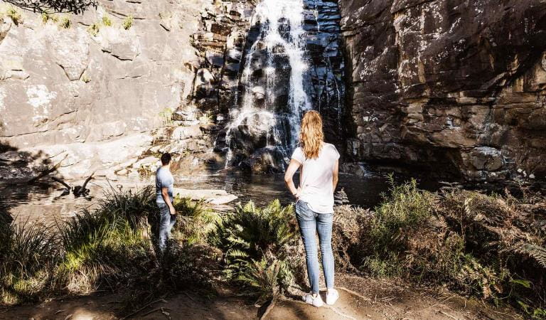
Sheoak Falls
How to get there
Hammonds Campground
When you're there
While the campground caters for self-contained comfort, you should bring your own drinking water and firewood, and take all rubbish home with you.
Fuel stoves or gas barbecues are preferred for cooking.
Need to know
Hammonds Campground
Accessibility
Visiting a park can be more of a challenge for people with disabilities, however in Victoria there are a wide range of facilities to help people of all abilities enjoy our wonderful parks around the state.
Be prepared and stay safe
Hammonds Campground is in the Great Otway National Park in the Central fire district. Bushfires can occur during the warmer months. It is your responsibility to check current and forecast weather conditions. Campfires cannot be lit on days of Total Fire Ban, however gas cookers can be used for preparing food.
Check the Fire Danger Rating and for days of Total Fire Ban at emergency.vic.gov.au, on the Vic Emergency App or call the Vic Emergency Hotline 1800 226 226.
Change of Conditions
Nature being nature, sometimes conditions can change at short notice. It’s a good idea to check this page ahead of your visit for any updates.
-
Aire River West Campground (Great Otway National Park GORCAPA, Aire River Heritage River)
Aire West Campground – Partial Seasonal Closure
Visitors are advised that sites 17–40 at Aire West Campground in Great Otway National Park are temporarily closed from 29 May to 25 September 2026 due to seasonal conditions.What to expect:Sites 17–40 are closed and unavailable for camping or vehicle access during this periodRemaining sites may still be accessible, subject to conditionsImportant information:The closure period may be extended if conditions remain too wet to safely support camping and vehicle accessVisitors are asked to follow any on-site signage and avoid closed areas to prevent damage to the campground and ensure safety.The Great Ocean Walk hike in camp site is not impacted.Entering into or camping within closed areas is subject to National Park regulationsWe appreciate your cooperation in helping protect the park during these conditions. -
Aire River East Campground (Great Otway National Park GORCAPA, Aire River Heritage River)
Aire East Campground – Seasonal Closure
Aire East Campground in Great Otway National Park will be closed from 29 May to 25 September 2026 as part of the annual seasonal winter closure.This closure is necessary to protect the campground and access tracks during periods of wet weather, when conditions are highly susceptible to damage from vehicle use and camping activity.What to expect:No visitor or vehicle access to the campground during the closure period.Campground and toilet facilities will be unavailable.Important information:The closure period may be extended if conditions remain too wet to safely support vehicle access and camping.Visitors are encouraged to plan ahead and consider alternative campgrounds.We appreciate your cooperation in helping protect the park environment during this time. -
Great Otway National Park
Wye Road Closure
Due to recent storm and flood damage, Wye Road will remain closed until the end of winter to allow for road maintenance and repair works.
Similar experiences
Big Hill Campground
Boreang Campground