
Lake Tyers State Park is one of the jointly managed parks within Gippsland. The Joint Management agreement recognises the fact that the Gunaikurnai people hold Aboriginal Title and maintain a strong connection to Country. As custodians of the land, they are the rightful people who speak for their Country. These parks and reserves are cultural landscapes that continue to be part of Gunaikurnai living culture. For more information on Joint Management, please visit the Gunaikurnai Traditional Owner Land Management Board and the Gunaikurnai Land and Waters Aboriginal Corporation.
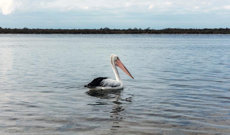
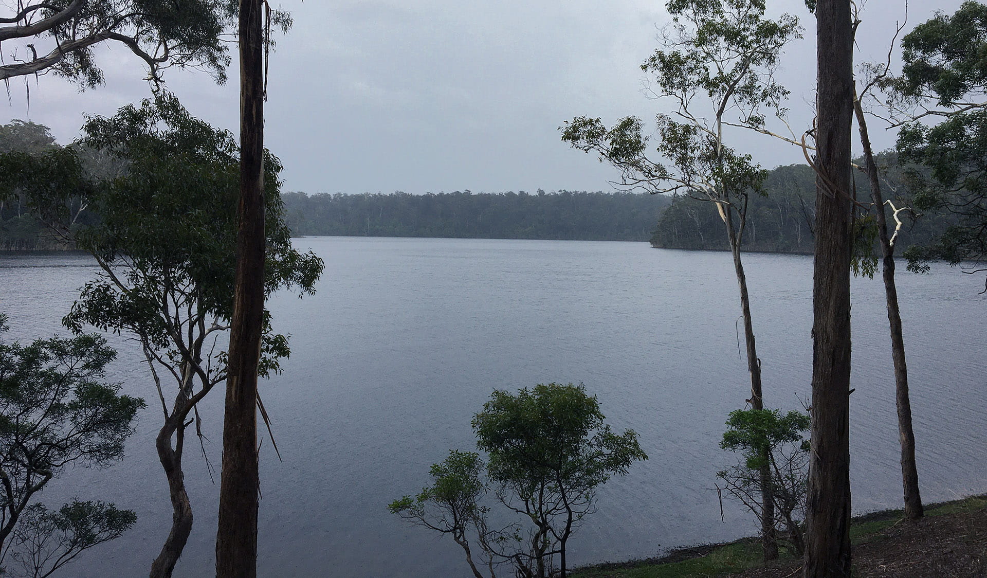
Bung Yarnda (Lake Tyers) was an important meeting place for Gunaikurnai groups throughout the area. It was a neutral place that was rich in food and materials. It is the place our mob lived when we were forcibly removed from our homelands by European settlers. The catchment area surrounding the Lake Tyers mission is also very significant to us. Our ancestors often passed through this bushland to get to and from Bung Yarnda, as we continue to do today.
The catchment area is where a lot of our mob lived, camped and fished. It is an abundant place, providing us with food all year round. And it is a beautiful place – you can see why the old fellas went there. As home to our ancestors, there are many recorded sites – scar trees, artefact scatters, birthing places and burial sites. Burnt Bridge Reserve is a popular gathering place and ochre site. The cultural sites continue all the way along the coast to Corringle further east.
Lake Tyers Mission
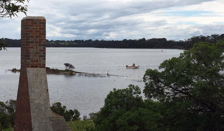
By the 1850s, the Aboriginal population had significantly declined. Missions were established where the remaining Aboriginal people would be located and be Christianised. After rejecting Mitchell River because of its cold winter, Lake Tyers was chosen for its reliable supply of food and water. The mission was both good and bad for Gunaikurnai people.
For some, Lake Tyers was home – a place where people were born and grew up. Where family were buried and where connection to Country could be maintained without persecution. Others felt hemmed in by the rules and rigid protocols of the governing agencies, the severity of which varied depending on the government of the day.
Lake Tyers was one of the last remaining missions, where Aboriginal people were sent from across Victoria when other missions were closed. In 1970, Lake Tyers was the first transfer of crown land back to Aboriginal people.
Sources/from: Gunaikurnai Whole‐of‐Country Plan (GLaWAC 2015); The Gunaikurnai and Victorian Government Joint Management Plan - Lake Tyers State Park - Krauatungalung Country.
Preserving the past is important to better manage our cultural landscapes. Patrick Mullett is a proud Gunaikurnai man working on Country to manage Aboriginal cultural heritage. He assesses sites and provides advice under the Aboriginal Heritage Act 2006 on how to best protect cultural heritage.
Things To Do
Camping at Lake Tyers
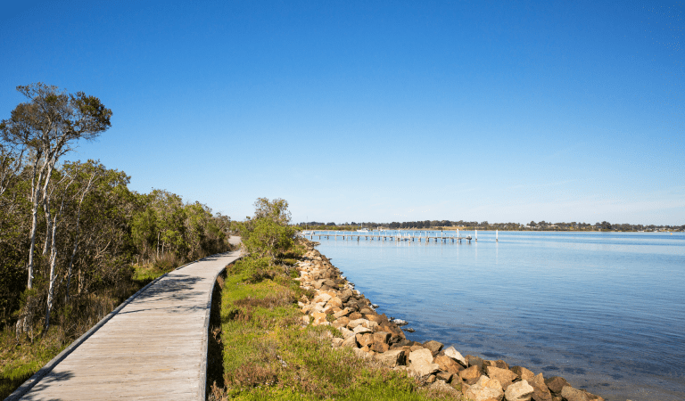
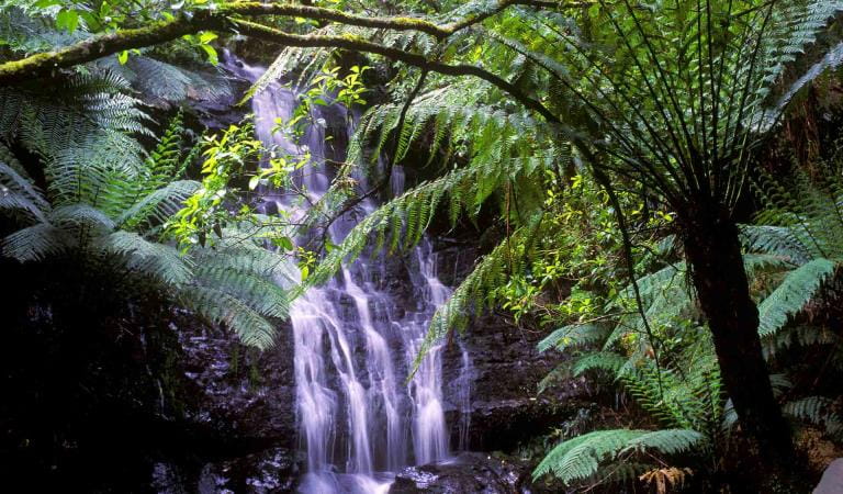
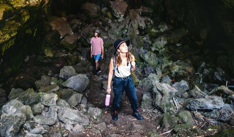
Walking at Lake Tyers State Park
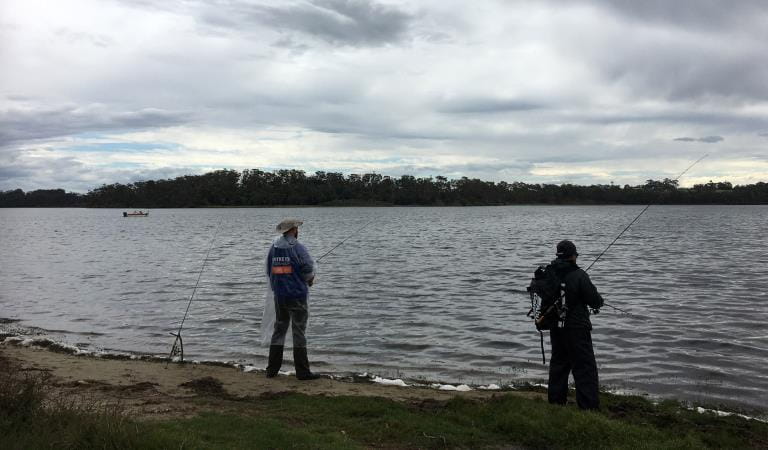
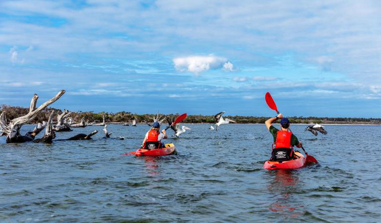
Water activities at Lake Tyers
How to get there
Cultural Heritage
Need to know
Cultural Heritage
Accessibility
Visiting a park can be more of a challenge for people with disabilities, however, in Victoria there are a wide range of facilities to help people of all abilities enjoy our wonderful parks around the state. Parks Victoria provides a range of a equipment, including all-terrain and beach wheelchairs, facilities, accommodation and accessibility information and programs to help you plan and enjoy your visit to Victoria's parks.
Assistance dogs are welcome in Parks Victoria parks and reserves. Entry requirements apply for parks and reserves that are usually dog prohibited, such as national parks.
Lake Tyers State Park Joint Management Plan
Lake Tyers State Park is on the Country of the Krauatungalung clan and Bung Yarnda (Lake Tyers) was an important meeting place for Gunaikurnai groups throughout the area. It was a neutral place, rich in food and materials, and there are many recorded sites, including scar trees, artefact scatters, birthing places and burial sites. It is the place many Aboriginal people lived when forcibly removed from their homelands by European settlers, and the catchment area surrounding the Lake Tyers mission is also very significant. The Gunaikurnai and Victorian Government Joint Management Plan provides a description of joint management strategies and actions that are specific to Lake Tyers State Park.
Change of Conditions
Nature being nature, sometimes conditions can change at short notice. It’s a good idea to check this page ahead of your visit for any updates.
-
Camerons Arms No. 2 (Lake Tyers State Park)
Track closures in Lake Tyers State Park
Cameron's arm number 2, Morass Break Track, Reedy Arm Number 1 and 2 and Happy Valley Track have been closed due to the impact of severe weather.Lake Tyers State Park is an iconic part of Victoria and an important focal point for many visitors. With a large number of visits per year, it’s very popular for outdoor activities such as camping, hiking, boating and walking.Unfortunately, sometimes we must close unsafe tracks, sites and infrastructure, we do so in the interests of public safety and/or environmental protection, and to ensure that no one gets hurt and environmental impacts are avoided and/or managed. -
Marsdenia Rainforest Walk (Lake Tyers State Park)
Marsdenia Rainforest Walk Closure
Marsdenia Rainforest Walk is currently closed due to the need to upgrade bridges and boardwalks which have been deemed unsafe.Victorians love getting into nature, and we want to ensure people can do so safely while managing the park estate sustainably.Unfortunately, sometimes we must close unsafe sites and infrastructure, we do so in the interests of public safety and/or environmental protection, and to ensure that no one gets hurt and environmental impacts are avoided and/or managed.Before visiting, Visitors should always check the Parks Victoria website for the latest information about their destination. -
Lake Tyers State Park
Ground shooting operations targeting deer
Control operations (ground shooting) targeting deer are undertaken in this area. The Park will remain open to visitors during these operations.For more information about Parks Victoria deer control to protect biodiversity, please visit: https://www.parks.vic.gov.au/get-into-nature/conservation-and-science/conserving-our-parks/feral-animals/deer
Similar Experiences
Cultural Heritage
Cultural Heritage Tarra-Bulga National Park
Budj Bim National Park
Gippsland Lakes Coastal Park