Explore
Glenelg River Canoe Trail
Stretching from Dartmoor to Nelson, the Glenelg River Canoe Trail meanders through the lower reaches of the Glenelg River. Embark on this scenic journey and take in the best of Lower Glenelg National Park - from towering limestone cliffs to the underground wonderland of Princess Margaret Rose Cave and abundant wildlife that calls the park home.
The Glenelg River is perfect for flat water canoeing over the 75km from Dartmoor to its mouth near Nelson. For most of its course, the river flows through the Lower Glenelg National Park, a place of exceptional natural beauty which is home to spectacular wildlife.
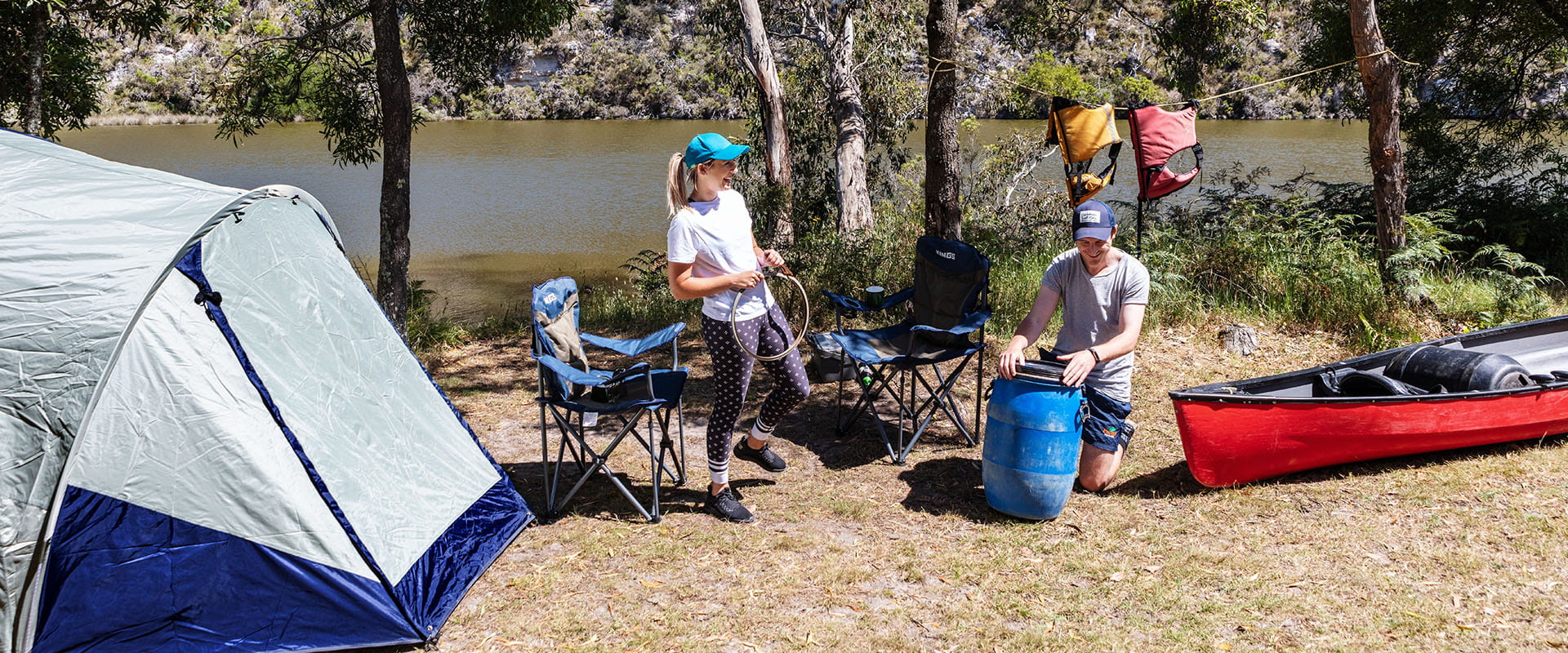
Stay at some of the seven campsites reserved exclusively for the use of canoeists and kayakers and try fishing for your dinner on this memorable journey.
While the full Glenelg River Trail takes around four days, there is a popular three-day option and you can even hire a canoe for a day-trip. There are canoe hire outlets in Dartmoor, Winnap and Nelson.
All canoe campsites in the park must be booked and fees apply. Sites can only be booked for one night.
Things to do in the area
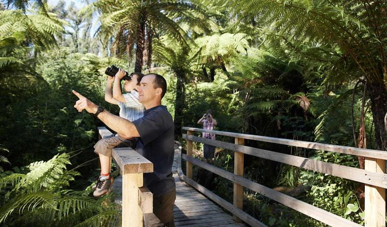
Bird watching
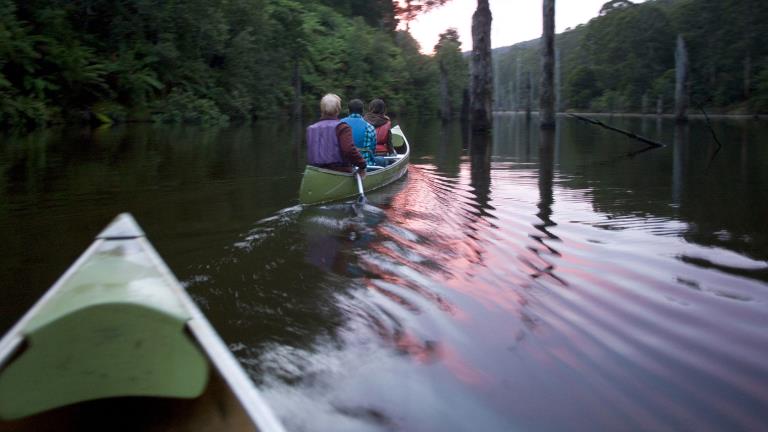
Canoeing and Kayaking
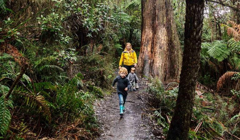
Family activities
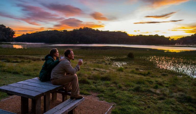
Sunrises and sunsets
How to get there
Glenelg River Canoe Trail
Sites
When you're there
Need to know
Glenelg River Canoe Trail
Accessibility
Visiting a park can be more of a challenge for people with disabilities, however in Victoria there are a wide range of facilities to help people of all abilities enjoy our wonderful parks around the state.
Be prepared and stay safe
Lower Glenelg National Park is in the South West fire district. Bushfires can occur during the warmer months. It is your responsibility to check current and forecast weather conditions. Campfires cannot be lit on days of Total Fire Ban, however gas cookers can be used for preparing food.
Check the Fire Danger Rating and for days of Total Fire Ban at emergency.vic.gov.au, on the Vic Emergency App or call the Vic Emergency Hotline 1800 226 226.
Similar experiences at other parks
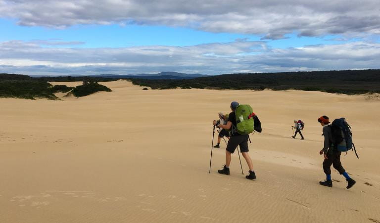
Great South West Walk
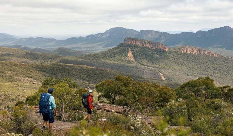
Grampians Peaks Trail
Great Ocean Walk
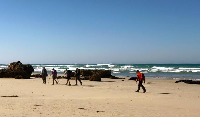
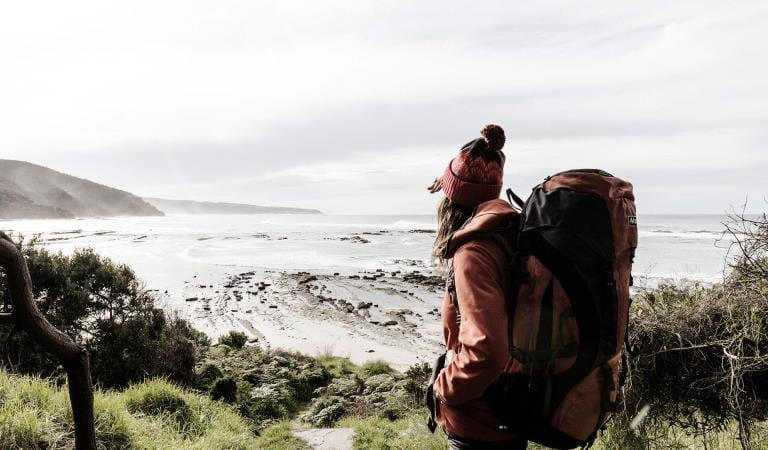
Wilderness Coast Walk
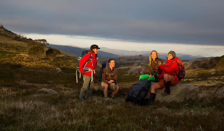
Falls to Hotham Alpine Crossing
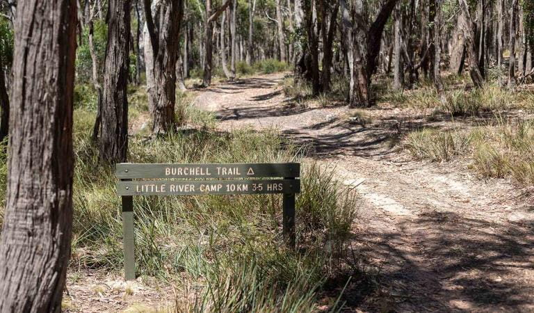
Burchell Trail
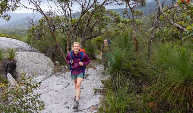
Wilsons Promontory Southern Circuit Overnight Hikes