Explore
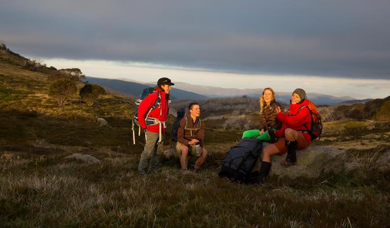
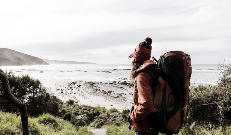
Burchell Trail Camping
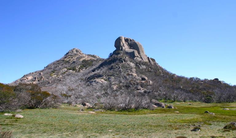
Enjoy three days walking through Victoria's richest wildflower habitat, with spectacular views across Wadawurrung Country and witness the unique plant communities found only in the Brisbane Ranges.
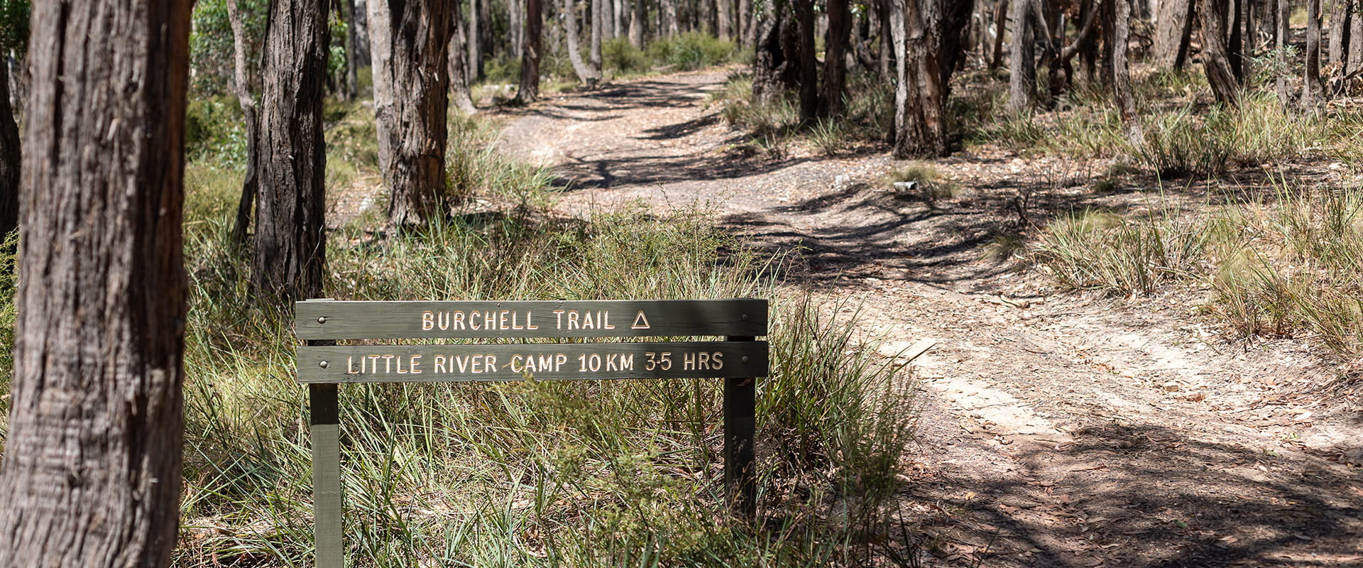
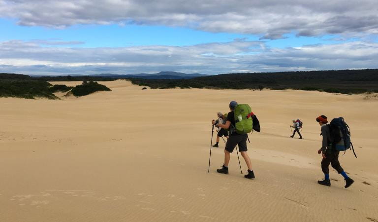
Starting from Fridays Campground in the south of the park or Boar Gully Campground in the north, the Burchell Trail is a 40km 3-day point to point walk follows orange track markers across uses existing walks, management tracks and alongside public roads.
There are two campsites along the trail. Old Mill Hike-in Campground is one day's walk northwards from Fridays Campground while Little River Hike-in Campground is one day's walk from southwards from Boar Gully.
Both hike-in campgrounds have two sites for up to six people per site. Basic facilities at campground include non-flushing toilets, shared wood BBQ, picnic tables and tank water (not suitable for drinking). Advance bookings are required.
See the map in the Brisbane Ranges National Park Visitor Guide or download the visitor guide map to your phone via Avenza Maps, which is available for both Apple and Android devices.
Camping in Brisbane Ranges National Park
How to get there
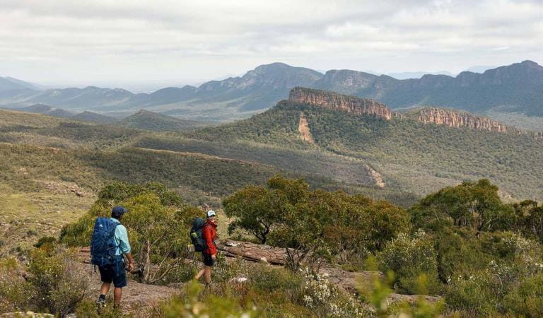
Burchell Trail Camping
This point-to-point walk can begin at either Boar Gully Campground in the north of the park or Fridays Campground in the south of the park.
The Brisbane Ranges National Park is located 80kms west of Melbourne, take the Western Highway to Bacchus Marsh or the Princes Highway toward Geelong.
Thompsons Road and Reids Road provide the best access to Boar Gully in the northern end of the National Park while the Geelong Ballan Road provides the best access to the Southern end of the Park.
Sites
Need to know
Burchell Trail Camping
Accessibility
Visiting a park can be more of a challenge for people with disabilities, however in Victoria there are a wide range of facilities to help people of all abilities enjoy our wonderful parks around the state.
Be prepared and stay safe
Brisbane Ranges National Park is in the Central fire district. Bushfires can occur during the warmer months. It is your responsibility to check current and forecast weather conditions. Campfires cannot be lit on days of Total Fire Ban, however gas cookers can be used for preparing food.
Check the Fire Danger Rating and for days of Total Fire Ban at emergency.vic.gov.au, on the Vic Emergency App or call the Vic Emergency Hotline 1800 226 226.
Similar experiences at other parks
Falls to Hotham Alpine Crossing
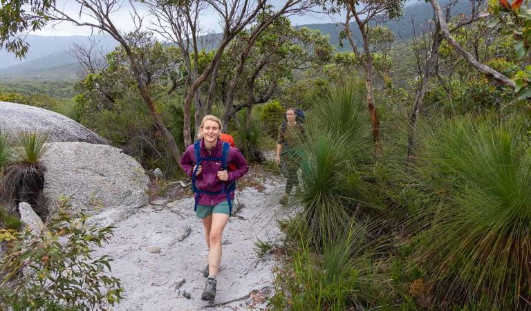
Grampians Peaks Trail
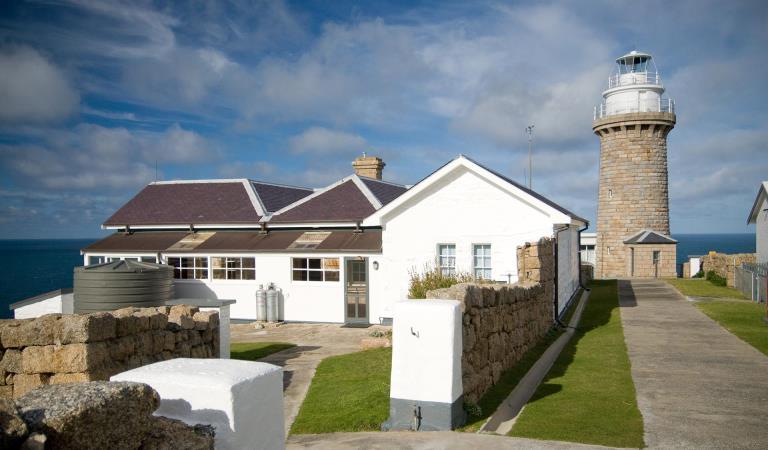
Wilsons Promontory Lightstation
Wilsons Promontory Southern Circuit Overnight Hikes
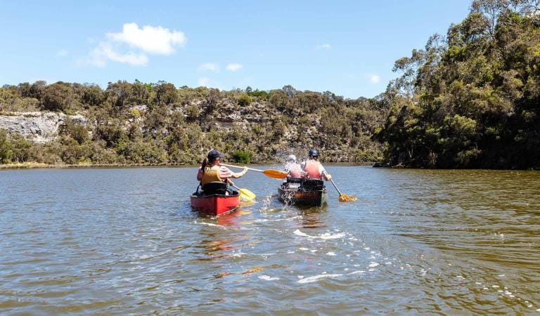
Glenelg River Canoe Trail
Great South West Walk
Great Ocean Walk
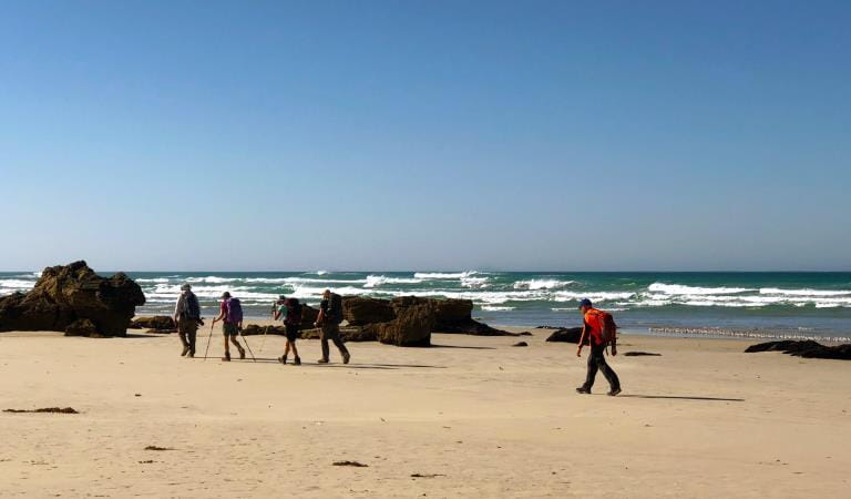
Wilderness Coast Walk