Lysterfield Lake

Explore

Lysterfield Lake

Lysterfield Park

Lysterfield Lake is very popular for canoeing, kayaking and sailing.

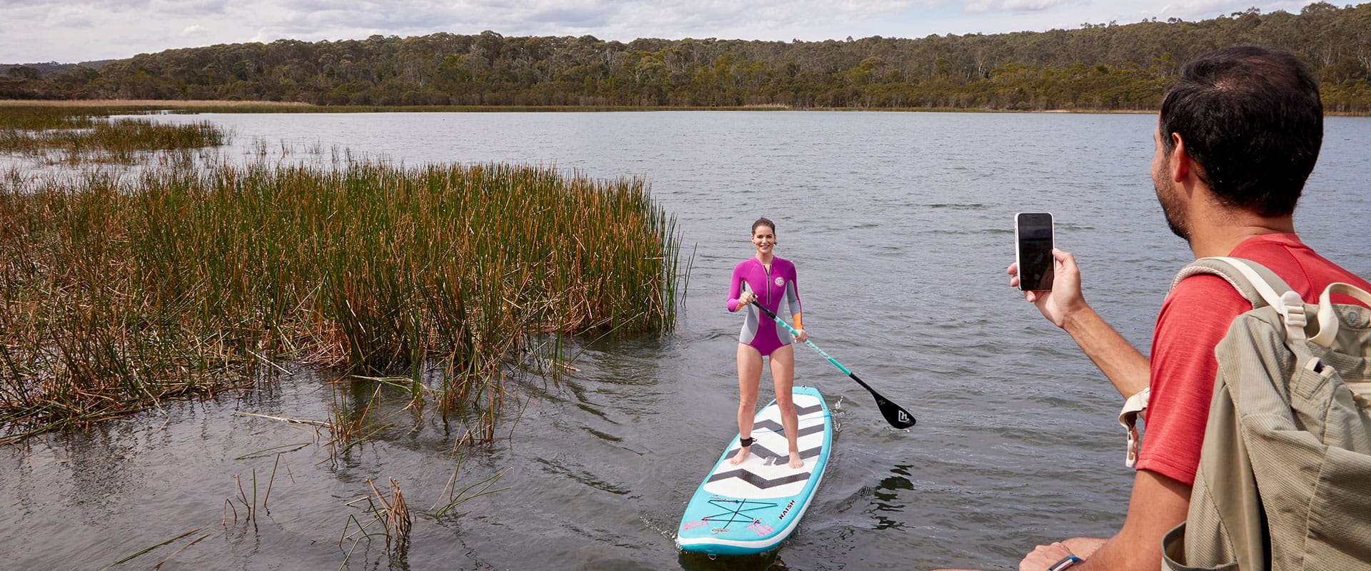
Lysterfield Lake also offers two beaches suitable for walk in swimming access both located near Beach Carpark at the southern end of the lake. The lake is not patrolled by lifeguards and children should be supervised at all times. Due to unpredictable depths and waterbird habitat, swimming is not permitted elsewhere in the lake. The boat ramp allows access for sailing, canoeing, and stand up paddle boarding (no powered vessels allowed).

There is lots to explore on the large lake. Go canoeing or kayaking to view waterbirds and habitat that can't be seen from land. On a calm day, the lake is a perfect place to refine your stand-up paddle boarding.

The 82ha lake is a great place for non-powered boating and sailing. Boat trailer parking is available and there is a boat launching and rigging zone. Model boating is allowed, but only non-powered craft can be used.

Go sailing on monohull boats up to 5 metres long or multi-hull boats up to 4.3 metres long. Lysterfield Sailing Club welcomes new members. Call Parks Victoria on 13 1963 for more information.

As rivers, lakes and reservoirs are natural environments, you may encounter hazards. Follow our water safety advice together with the water safety signage in the park to make sure your day out Lysterfield Park is a safe and enjoyable one.

Things to do

 
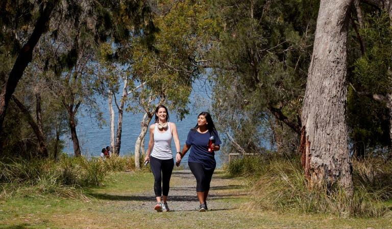
Two friends in activewear walk away from the lake.

Lake Circuit Trail

Walk, run or cycle this popular trail, which weaves among native vegetation around the picturesque Lysterfield Lake. You're almost guaranteed to see kangaroos and other wildlife along the way.
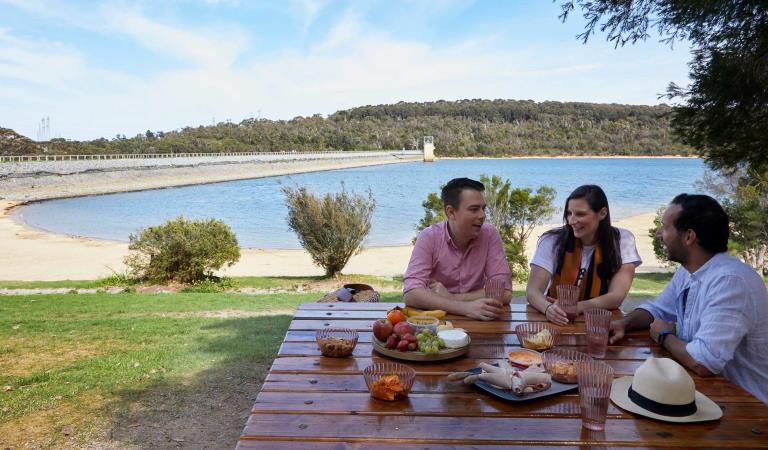
Three friends share a picnic on the shores of Lysterfield Lake.

Picnic areas in Lysterfield Park

There are two picnic areas along the lake shore and both have toilets, picnic tables and free electric barbecues.
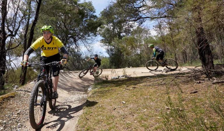
Three mountain bikers turn left through a berm.

Mountain biking at Lysterfield Park

Explore a 24km network of purpose-built mountain bike trails at Lysterfield Park, suitable for all skill levels.

How to get there

Lysterfield Lake

Need to know

Lysterfield Lake

Change of Conditions

Nature being nature, sometimes conditions can change at short notice. It’s a good idea to check this page ahead of your visit for any updates.

  • Lysterfield Picnic Area (Lysterfield Park)

    Some barbeques not in operation

    Parks Victoria is carrying out inspections in all of our barbecues in our parks. Following these inspections, some barbecues have been temporarily closed until they can be attended by a licenced contractor. We apologise for the inconvenience this has caused.
    Visitor safety is our top priority and we advise people to please not to use any barbecue facilities that have been closed. We expect the impacted barbecues to reopen in the coming weeks.

  • Notices Affecting Multiple Sites

    Lysterfield Mountain Bike Trails - Repair and Improvement Works

    Planned repair and upgrade works are scheduled for the Lysterfield Mountain Bike Trails from late January 2025 through to May 2025, focusing on Lower Buckle, Upper Buckle, Middle & Redgum Trails.

    Trails will be temporarily closed one at a time during works, to ensure that riders can still access trails across the MTB network. Detour maps will be in place to provide visitors with alternative routes while works are underway. 

    Order of Works / Trail Closures:
    1. Redgum Trail
    2. Middle Trail
    3. Upper Buckle & Lil Shorty Trails
    4. Lower Buckle Trail (north section)
    5. Lower Buckle Trail (south section).

    Please follow website for regular trail updates and closure status.

  • State Mountain Bike Course (Lysterfield Park)

    State Mountain Bike Course - Partial Closure

    Part of the downhill section of the State Mountain Bike Course between Lysterfield Hills Track and Granite Peak Trail is temporarily closed due to unsafe trail conditions.

    A detour has been made temporarily available along a section of Granite Peak Trail. Granite Peak Trail is usually a single use running and hiking trail. The detour section will temporarily function as a shared use trail. Please ride slowly and consider other park users.

    For public safety please follow all detour and safety signage.

    See detour map attached.

    Attachments: Information - SMBC Boardwalk Detour Map (238KB)

  • Lysterfield Park

    Notification of Deer Control Program within Lysterfield Park

    Lysterfield Park (northern conservation zone) will be closed while ground shooting operations targeting deer are undertaken.
     
    Park area closures will apply to affected areas overnight, from 4:00pm until the following morning, during the following dates:
     
    Tuesday 18th February 2025 (until the early hours of Wednesday)
    Thursday 20th March 2025 (until the early hours of Friday)
    Tuesday 6th May 2025 (until the early hours of Wednesday)
     
    Closures will be in place at park entrances on operation nights to prevent entry.
     
    Please see the attached map of the control area.
     
    For more information about the program please visit this link or call 13 19 63.

    Attachments: Control Area LNCZ (470KB)

  • Notices Affecting Multiple Parks

    Notification of Fox Control Program in Lysterfield Park, Churchill National Park, Baluk Willam NCR and Cardinia Creek Parklands

    Parks Victoria are undertaking fox control in Lysterfield Park, Churchill National Park, Baluk Willam Nature Conservation Reserve and Cardinia Creek Parklands to relieve predation of vulnerable and threatened native fauna, and minimise impacts on neighbouring livestock. 
     
    Programs involve the use of Canid Pest Ejectors with para-aminopropiophenone (PAPP) poison and soft-jaw leghold traps to reduce fox numbers in strategic locations.
     
    Fox control will occur until May 2025.
     
    Dogs are prohibited from entering Lysterfield Park, Churchill National Park and Baluk Willam Nature Conservation Reserve. At Cardinia Creek Parklands, dogs must be on a leash and restrained to defined tracks. Dogs should not interfere with bushland areas and natural features of the park area.

    If pets are suspected of having consumed a PAPP bait during the baiting period, a vet should be consulted immediately. An antidote to PAPP (methylene blue) is available and is stocked by many vets in the local area. If pets become caught in a leghold trap, they should be released by a professional and a vet should be consulted.

    Please see the attached map of the control areas.

    For more information about the program please visit this link or call 13 19 63. 

    Notification of Fox Control Program in Lysterfield Park, Churchill National Park, Baluk Willam NCR and Cardinia Creek Parklands

    Parks Victoria are undertaking fox control in Lysterfield Park, Churchill National Park, Baluk Willam Nature Conservation Reserve and Cardinia Creek Parklands to relieve predation of vulnerable and threatened native fauna, and minimise impacts on neighbouring livestock. 
     
    Programs involve the use of Canid Pest Ejectors with para-aminopropiophenone (PAPP) poison and soft-jaw leghold traps to reduce fox numbers in strategic locations.
     
    Fox control will occur until May 2025.
     
    Dogs are prohibited from entering Lysterfield Park, Churchill National Park and Baluk Willam Nature Conservation Reserve. At Cardinia Creek Parklands, dogs must be on a leash and restrained to defined tracks. Dogs should not interfere with bushland areas and natural features of the park area.
     
    If pets are suspected of having consumed a PAPP bait during the baiting period, a vet should be consulted immediately. An antidote to PAPP (methylene blue) is available and may be stocked by vets in the local area. If pets become caught in a leghold trap, they should be released by a professional and a vet should be consulted.
     
    Please see the attached map of the control areas.
     
    For more information about the program please visit this link or call 13 19 63. 
Similar experiences

 
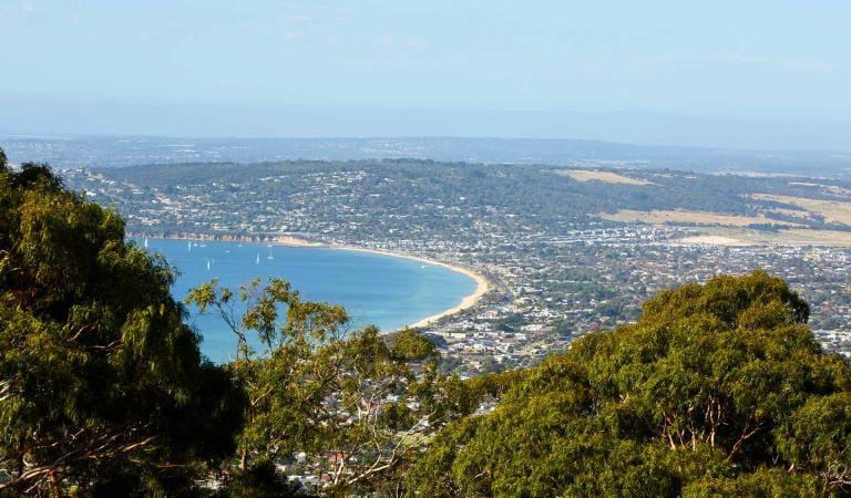
The view of Safety Beach and Port Phillip from the top of Arthurs Seat State Park.

Arthurs Seat State Park

Rising above the Mornington Peninsula, Arthurs Seat State Park is a prominent feature in the landscape of Port Philip Bay.
A path through trees at Churchill National Park

Churchill National Park

Consisting of woodland and small areas of original forest, Churchill National Park is home to a large Eastern grey kangaroo and Swamp wallaby population. The park is a wonderful display of the original landscape before clearing and settlement.
Devilbend NFR

Devilbend Natural Features Reserve

A haven for waterbirds and walkers, Devilbend Natural Features Reserve includes Devilbend Reservoir, the largest inland body of water on the Mornington Peninsula. The lowland forest, reservoirs and shoreline provide valuable habitat and beautiful scenery to enjoy picnics, fishing, photography, birdwatching and water activities.
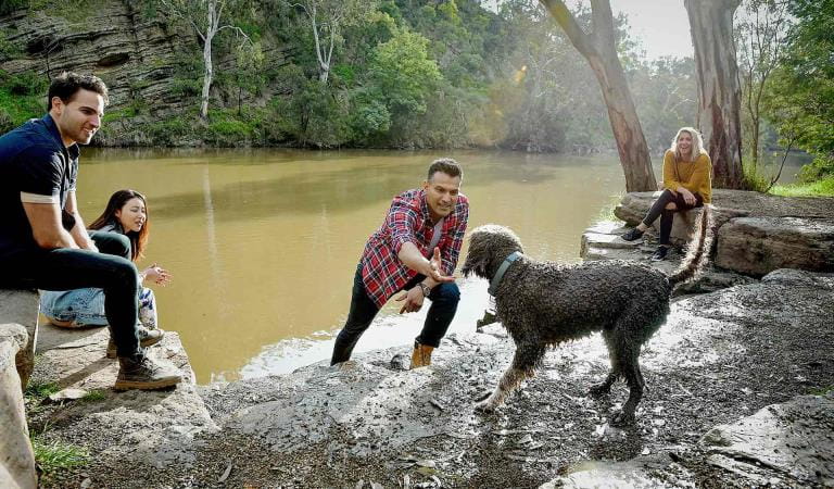
Four friends relax by the edge of the Yarra River as their curly brown dog gets ready to jump in the water.

Dights Falls

The park's best known geological feature is Dights Falls. Dights Falls is an artificial weir built on a natural rock bar across the Yarra. The weir was built in the 1840s to provide water to the 'Ceres' flour mill, one of the first in Victoria. The Dights Fall Loop Walk highlights the rich history and versatile landscape of Yarra Bend Park.
X
By using our site you accept that we use and share cookies and similar technologies with certain approved third parties. These tools enable us to improve your website experience and to provide content and ads tailored to your interests. By continuing to use our site you consent to this. Please see our Privacy Policy for more information.
Confirm