


Popular experiences
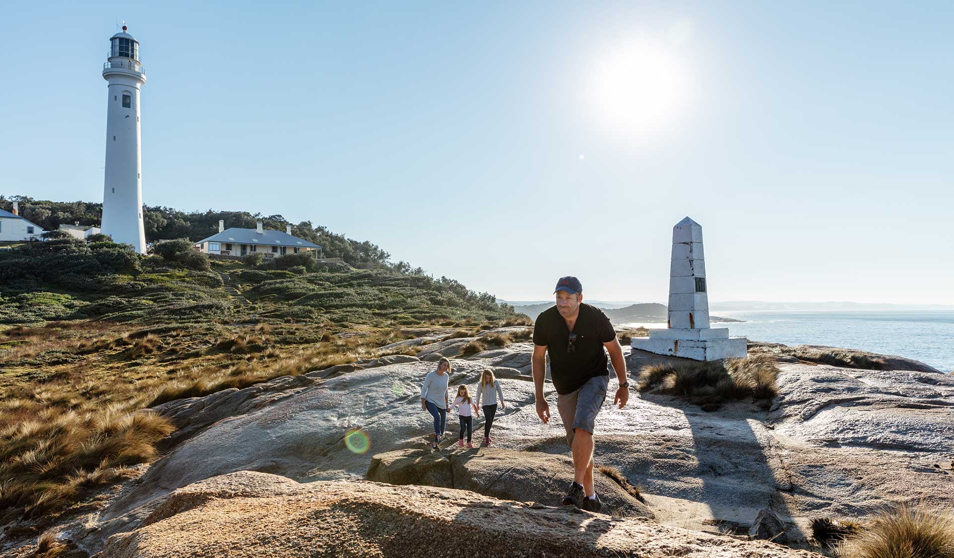
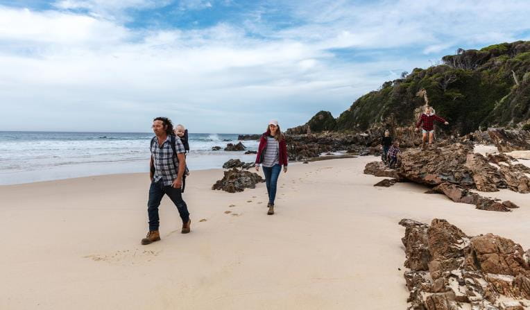
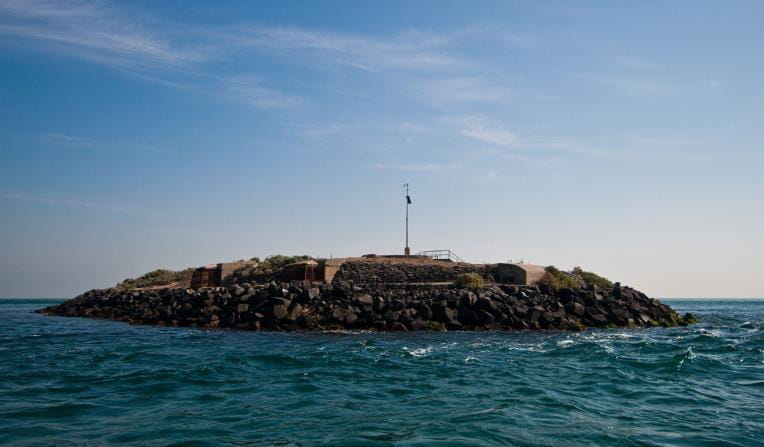
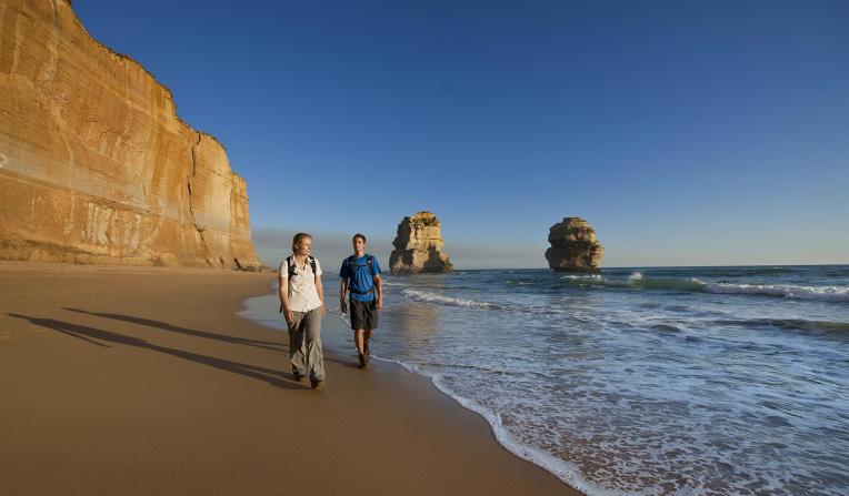
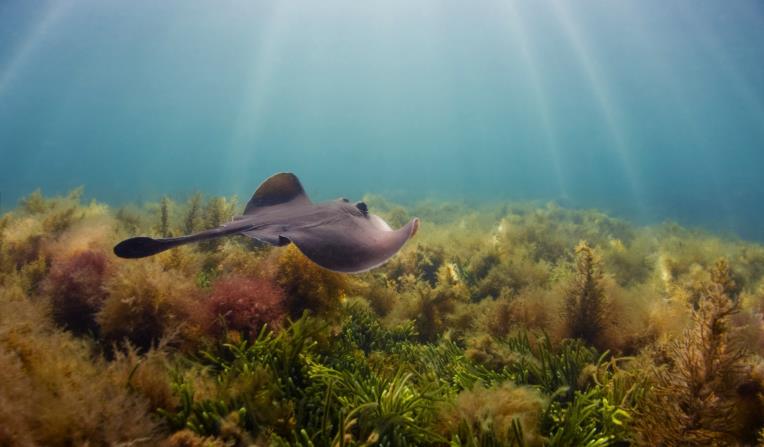
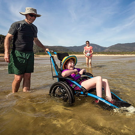
Beaches and Coasts
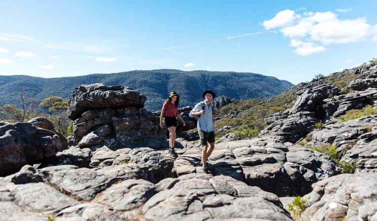
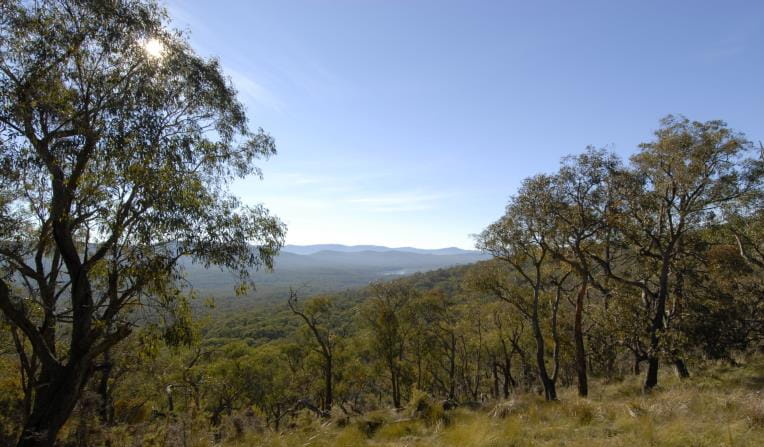
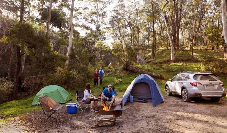
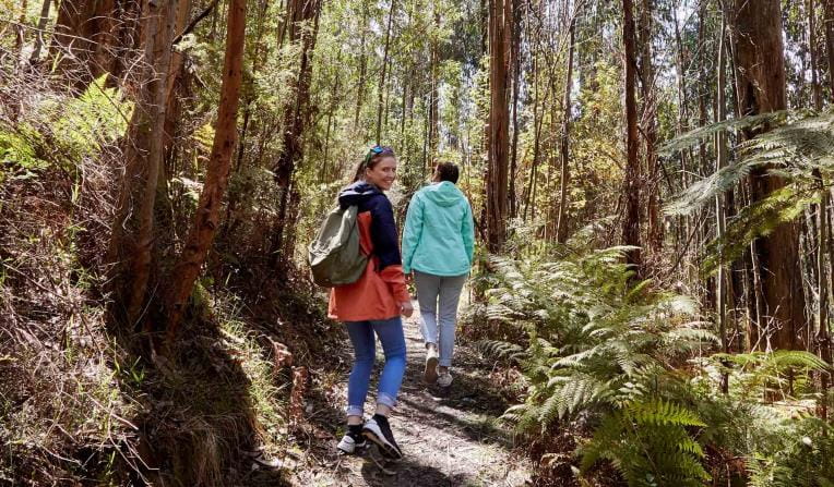
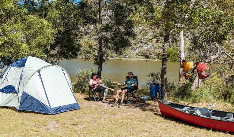
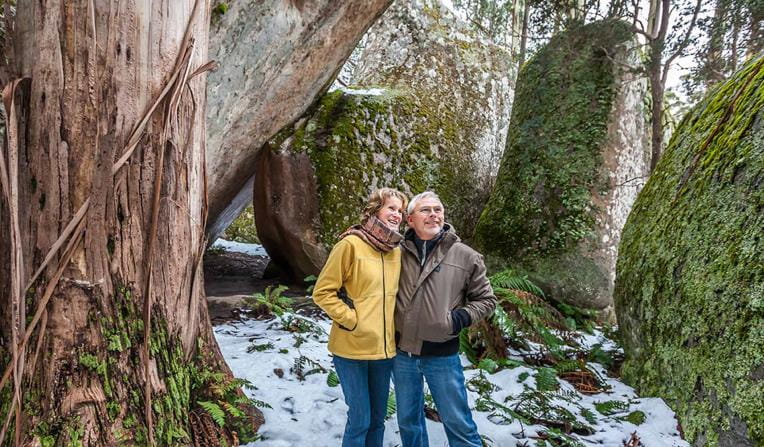
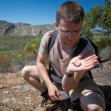
 Rugged Bushlands
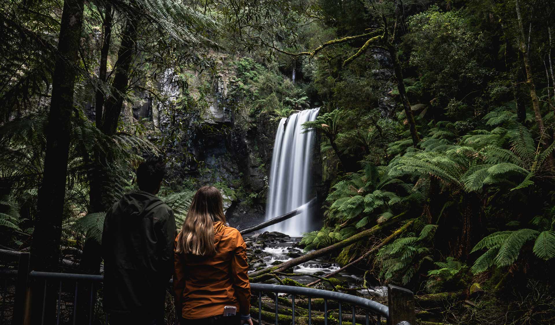
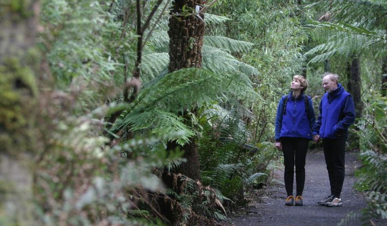
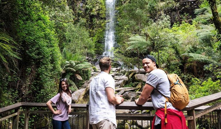
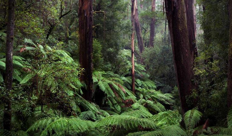
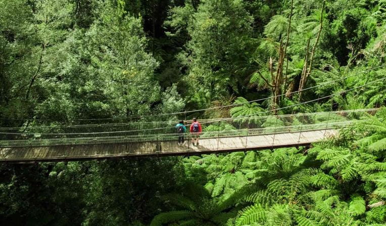
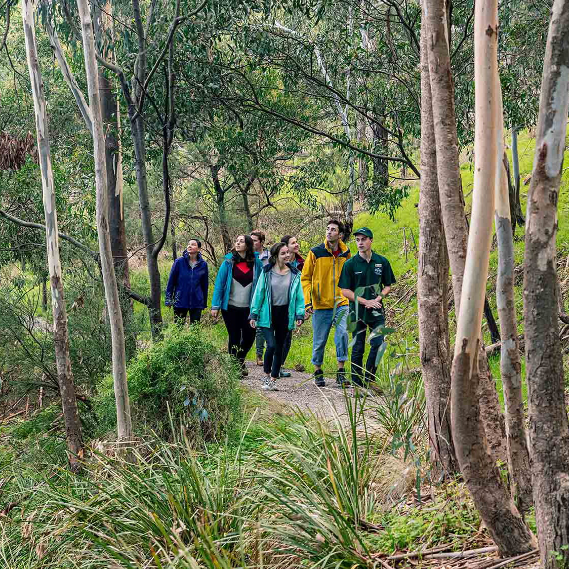
 Tall Forests
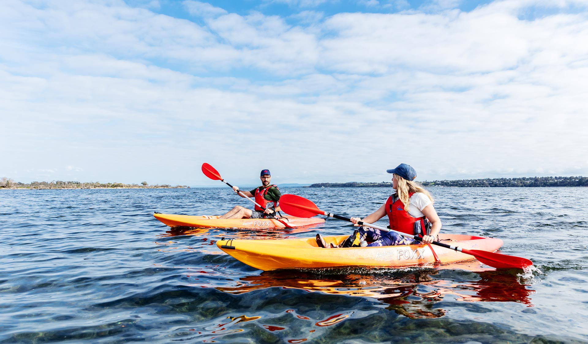
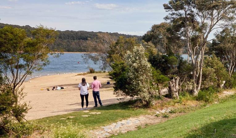
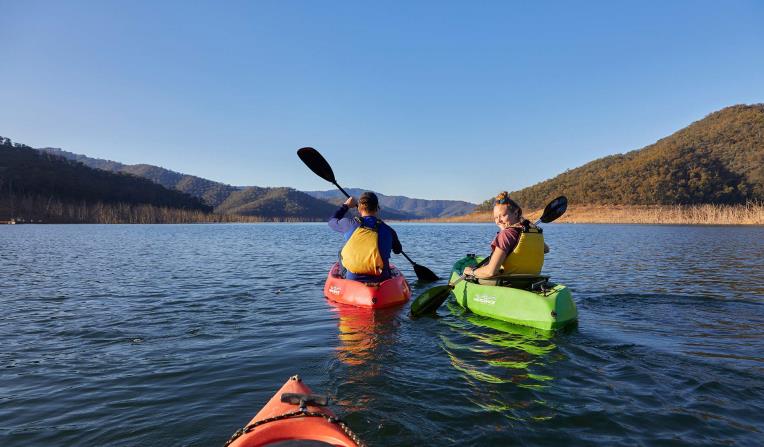
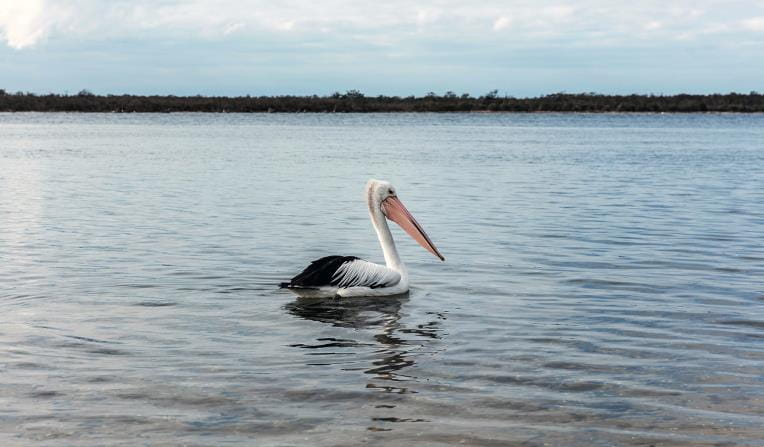
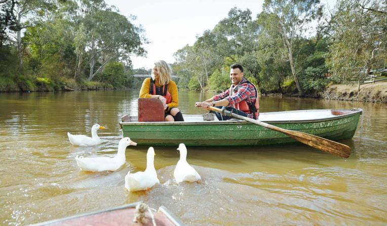
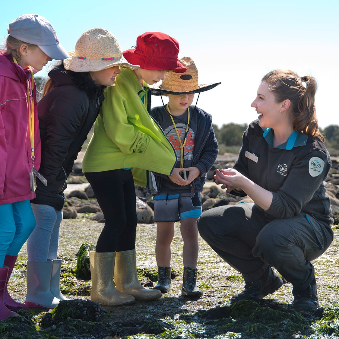
 Bays, Lakes and Rivers
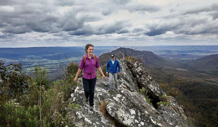
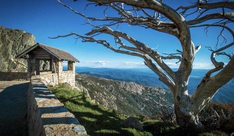
 Mountain Peaks
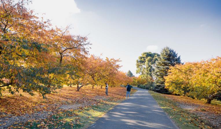
 Urban Parks

Rugged Bushlands
Tall Forests
Bays, Lakes and Rivers
Mountain Peaks
Urban Parks
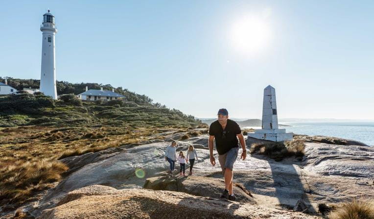


Beaches and Coasts
Venture out along Victoria's dramatic coastline and explore one of the most biodiverse and unique marine ecosystems in the world.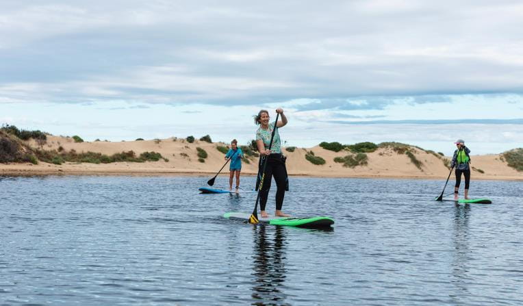


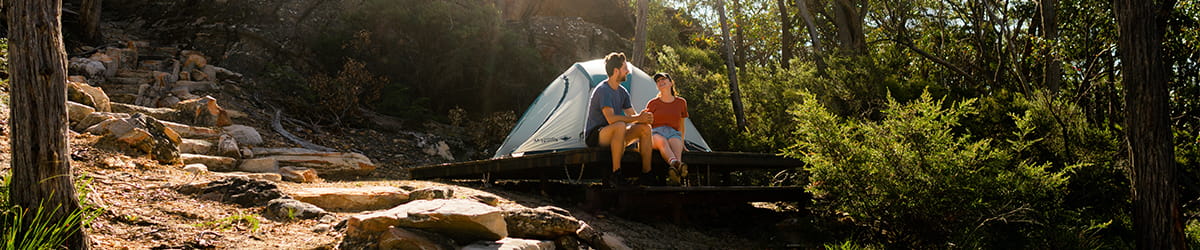
Rugged Bushlands
Escape to virtual isolation in open, dry forests and woodlands, dry and semi-dry arid deserts or grassy plains abundant with wildflowers and wildlife.


Tall Forests
Walk under grand canopies of Mountain Ash and through lush green tall forests. See ancient mossy trees and stand under magnificent waterfalls surrounded by giant ferns.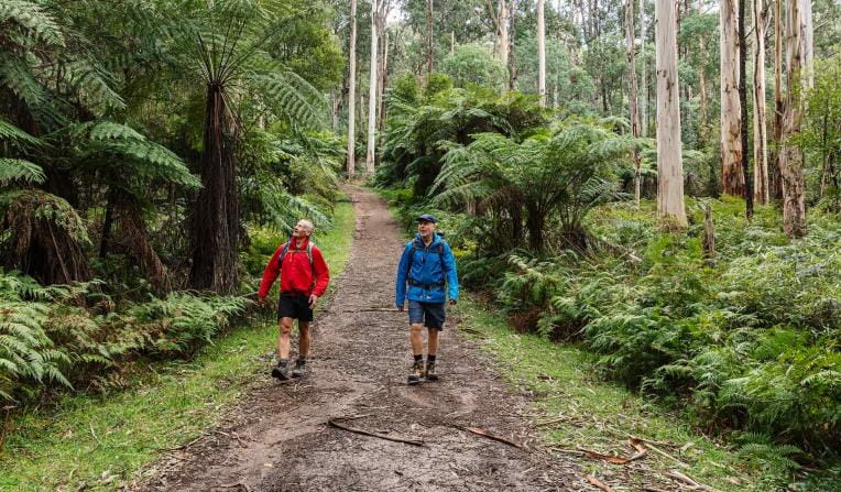
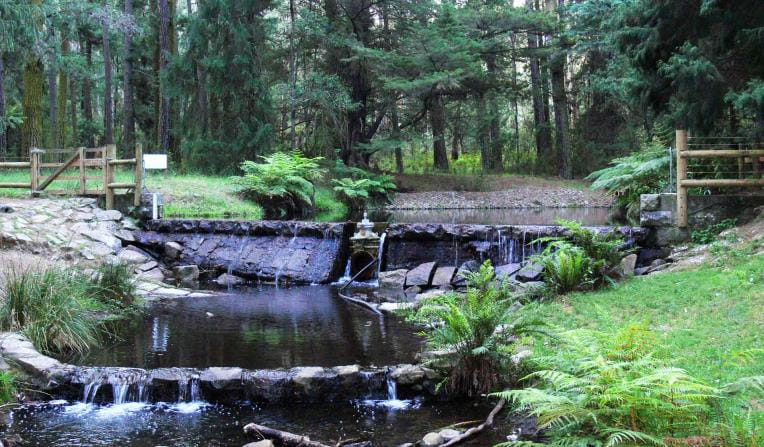
Bays, Lakes and Rivers
Explore Victoria's parks from the water with a variety of inland river systems, ports made up of wide bays and stunning tranquil lakes.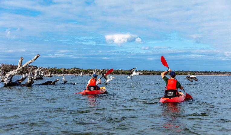
Mountain Peaks
Climb some of Australia’s most stunning mountain peaks, cross-country ski across alpine landscapes, escarpments and hike through grassy high plains.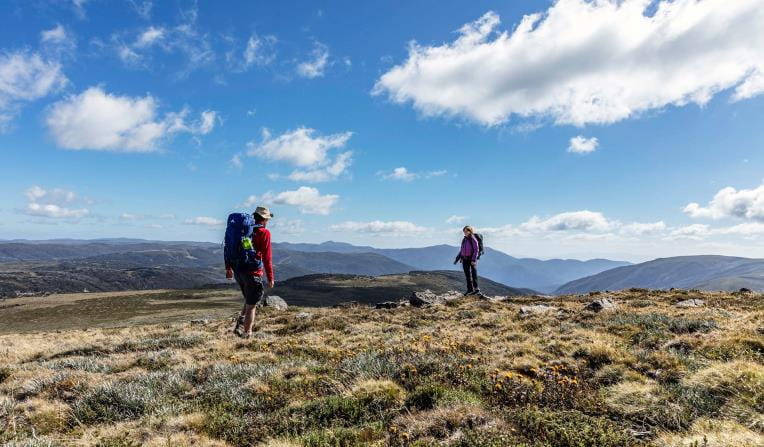
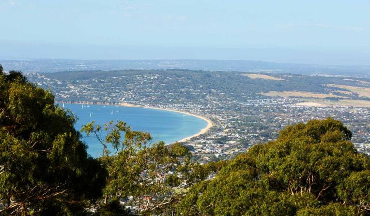
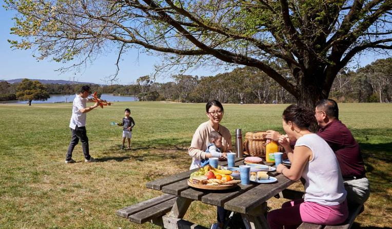
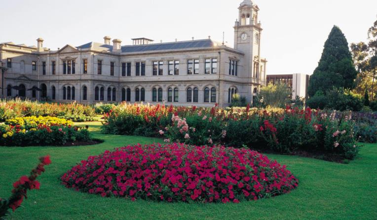
Urban Parks
Walk, jog, run or cycle in Melbourne’s picturesque urban parks. Pack a picnic or BBQ and lunch alfresco in nature or meander through picturesque gardens.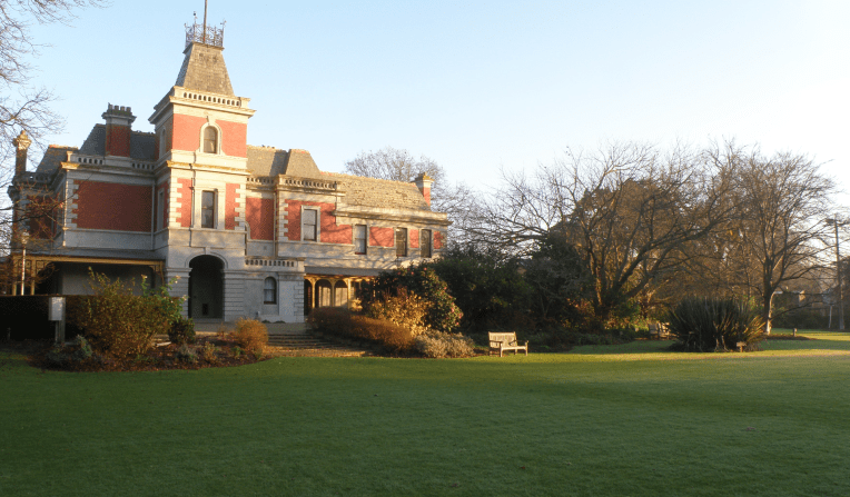

Get into nature
News
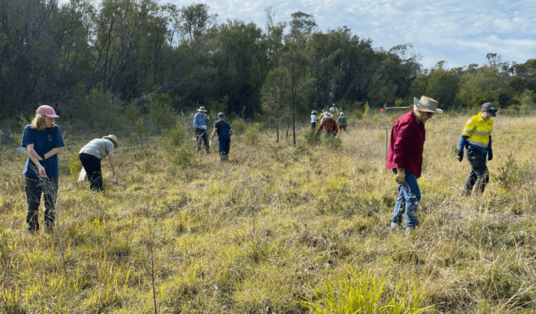
Weeding out trouble and growing hope at the Prom Sanctuary
Cooling autumn weather has not deterred the amazing work being done by our passionate staff, dedicated community groups and Traditional Owners. Together, we’re powering way to get the fence started, building the Prom Sanctuary to conserve nature and fight extinction at Wilsons Promontory National Park.
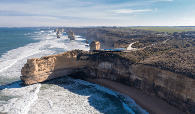
Changes to park management along the Great Ocean Road
From 1 July 2026, the Great Ocean Road Coast and Parks Authority (GORCAPA) will take on the primary management of a number of parks and reserves along the Great Ocean Road.
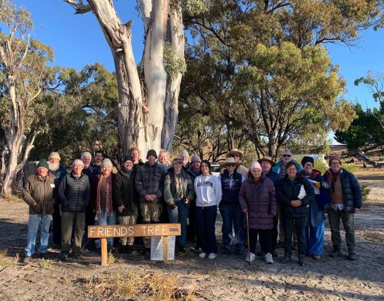
Friends of Wyperfeld celebrate 50 years of conservation and connection
Long-time volunteers, former rangers, Parks Victoria staff and supporters have gathered to celebrate 50 years of the Friends of Wyperfeld National Park.