
Explore
Yarra River
The Yarra River is part of an Aboriginal cultural landscape that includes traditional Country of the Wurundjeri People. Parks Victoria respects the deep and continuing connection that Traditional Owners have to these lands and waters, and we recognise their ongoing role in caring for Country.
The Yarra River’s journey begins on the southern slopes of the Great Dividing Range and twists through the forested valleys of the Yarra Ranges and its quaint regional towns before concluding its journey on the muddy flats of Port Phillip Bay.
Elemental to Melbourne’s identity, the Yarra River is one of Victoria’s iconic waterways. It has spiritual and cultural significance for Aboriginal communities. To the Wurundjeri people the river, known as Birrarung, was the life source and an important meeting place. And, to many locals, where happy memories of personal pilgrimages, peaceful summer evenings, and days exploring were made.
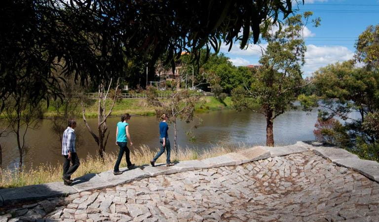
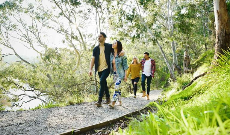
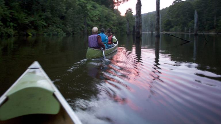
Board one of the river cruises from Southbank to explore the lower reaches of the Yarra, follow the Capital City Trail on foot or bike, canoe or kayak all or part of its 240-kilometre expanse, or set up for a scenic sunset barbecue or picnic on the banks of the river.
Join in on the rich events calendar – from the famous Moomba Festival to regattas and rowing races, the Dragon Boat Festival and an endless array of community events. The Yarra has something for everyone!
As rivers, lakes and reservoirs are natural environments, you may encounter hazards. Follow our water safety advice to make sure your day out at Yarra River is a safe and enjoyable one.
Things to do in the area
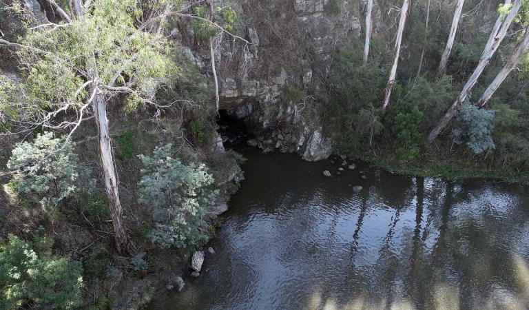
Canoeists and kayakers can enjoy under-the-radar spots along short river trips such as Jumping Creek to Warrandyte and Sweeneys lane to Westerfolds.
Herring Island
Pound Bend
Yarra Bend Park
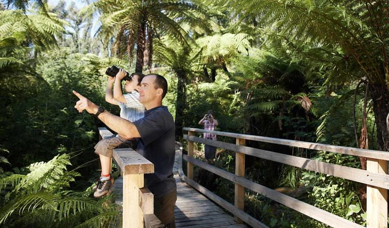
Bird watching
Canoeing and Kayaking
Day trips
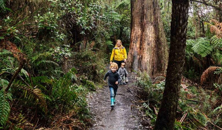
Family activities
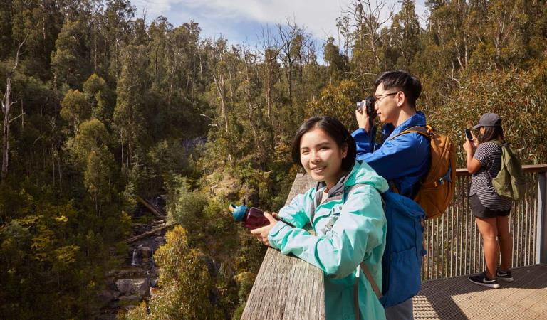
Tours and adventure experiences in parks
One of the best ways you can get into nature is with a Licensed Tour Operator.
There are more than 400 Licensed Tour Operators across Victoria who are ready and waiting to help you experience and connect with Victoria’s spectacular parks and waterways.
Discover more than 60 different types of nature-based experiences including hiking, mountain biking, boating, four-wheel driving, indigenous culture tours, birdwatching, surfing, diving and so much more.
Licensed Tour Operators know all the best places to go and will plan and prepare your visit to ensure you are safe and can enjoy your nature-based adventure to the fullest.
How to get there
Yarra River
Before you go
Need to know
Yarra River
Accessibility
Change of Conditions
Nature being nature, sometimes conditions can change at short notice. It’s a good idea to check this page ahead of your visit for any updates.
-
Yarra River - MacRobertson Bridge to Bridge Road (Yarra River)
Leonda Landing closure
Leonda Landing on the Yarra River is currently closed to all pedestrian and vessel access until further notice due to structural damage.In the interest of visitor safety, please stay off the structure.A temporary floating landing has been installed adjacent to the timber landing to allow access for small vessels (<12m) to berth and unload passengers. This landing is for loading and unloading of passengers only.For more information, please call Parks Victoria Waterways team on 8427 2032 or waterways@parks.vic.gov.au. -
Big Peninsula Picnic Area (Yarra Ranges National Park, Yarra River)
Big Peninsula Stepping Stones permanently closed due to erosion
Due to instability caused by erosion, the Big Peninsula Stepping Stones are permanently closed for visitor safety. -
Notices Affecting Multiple Sites
Notice to River Users 23 July 2026
As Waterway Manager under the Marine Safety Act 2010 Parks Victoria wishes to advise the following waterway closures and activities on the Yarra River, Maribyrnong River and Victoria Harbour.Attachments: NTRU 23 July 2026 (514KB)
How we keep it special
Future Directions Plan and Recreation Guidelines
The Future Directions Plan and Recreation Guidelines for the Lower Yarra River, reaching from Dights Falls to Port Phillip Bay, provides a framework enabling the competing demands of all users of the river to be safely balanced while maintaining the river’s environmental values.
Yarra Strategic Plan
Parks Victoria is proud to be a key partner in the implementation of the Yarra Strategic Plan, Burndap Birrarung burndap umarkoo. Delivering the plan is a Victorian Government commitment to protect our treasured Yarra River, Birrarung, and its parklands for future generations.
Gipps St Ramp
The Main Yarra Trail is one of Melbourne's most iconic routes, following the Birrarung Yarra River from the north eastern suburbs to the city. This project involves replacing steep steps at Gipps Street in Abbotsford with an elevated, curling walkway, improving how cyclists, people with prams and people with accessibility requirements can continue along the Trail.