

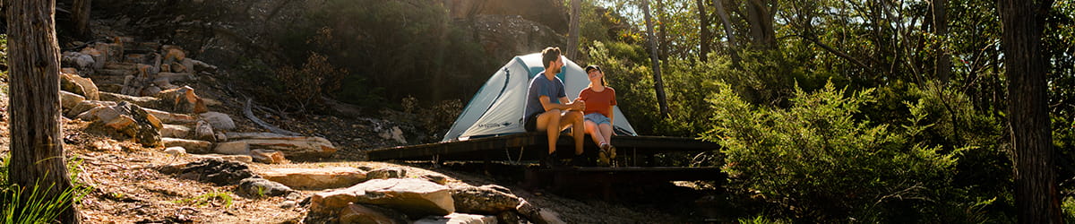
Popular experiences
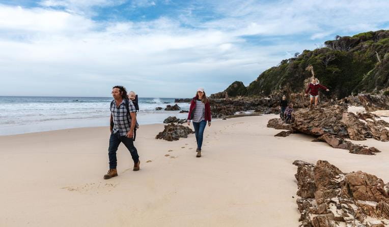
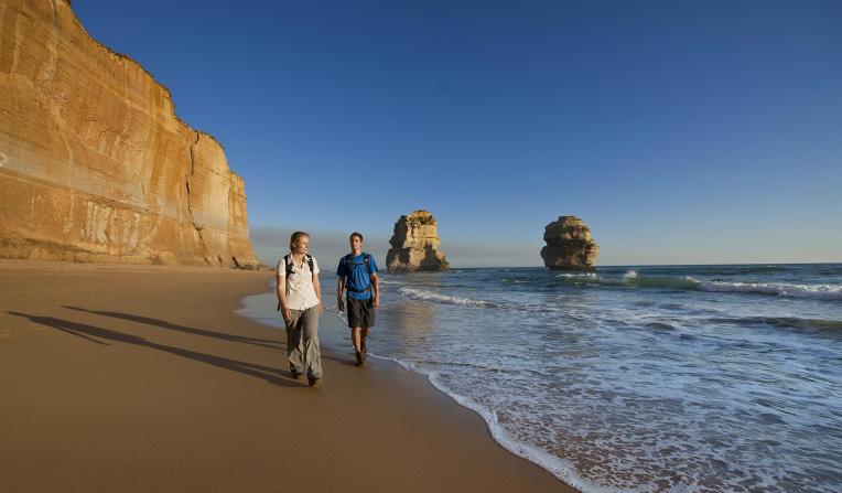
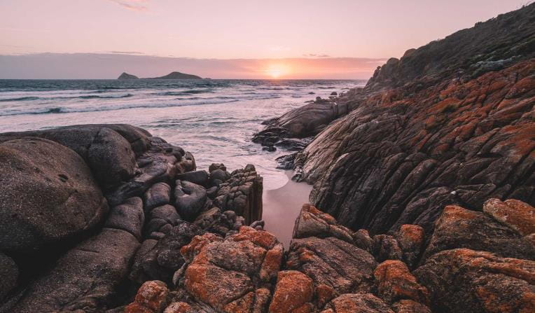
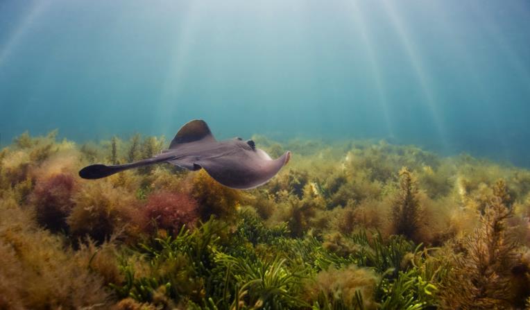
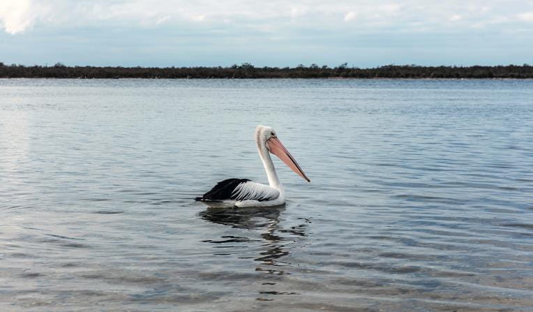
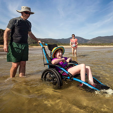
Beaches and Coasts
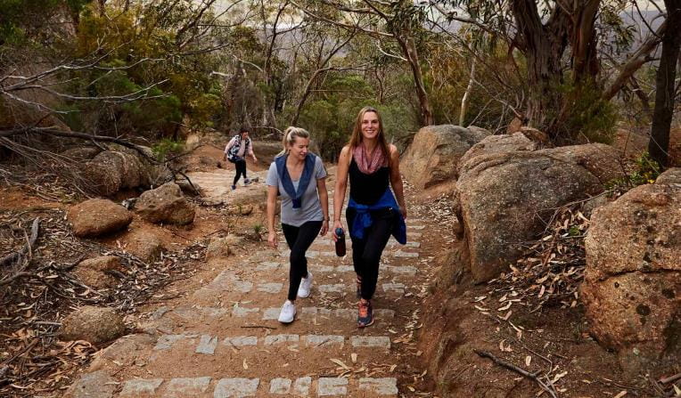
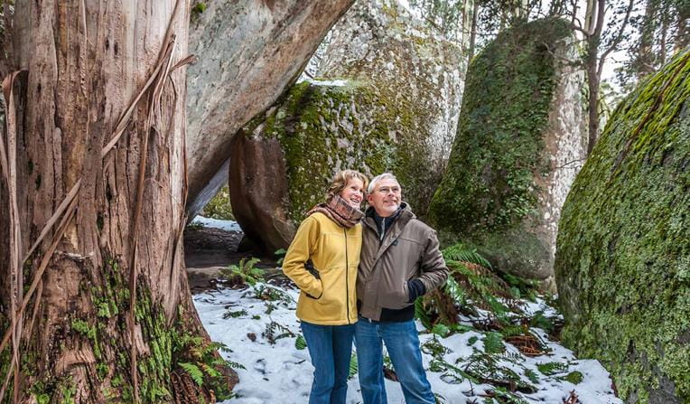
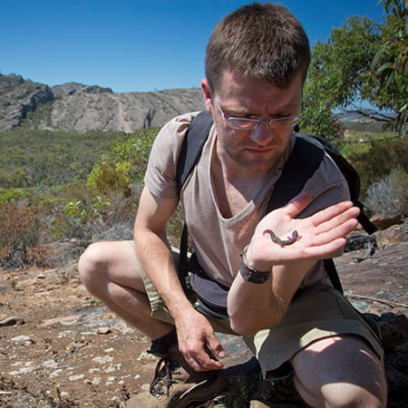
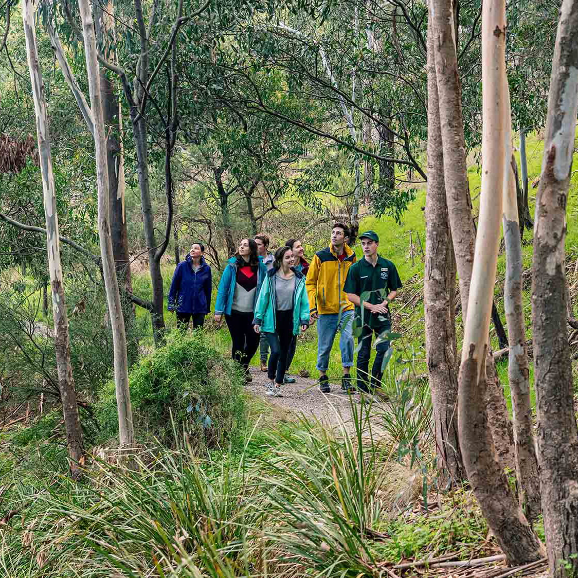
 Rugged Bushlands
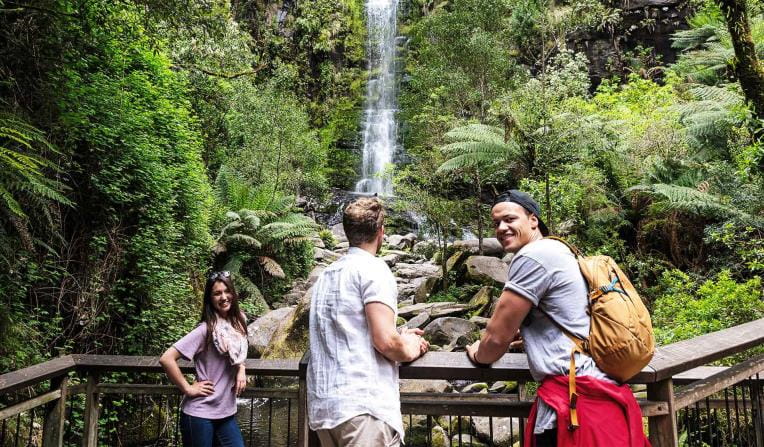
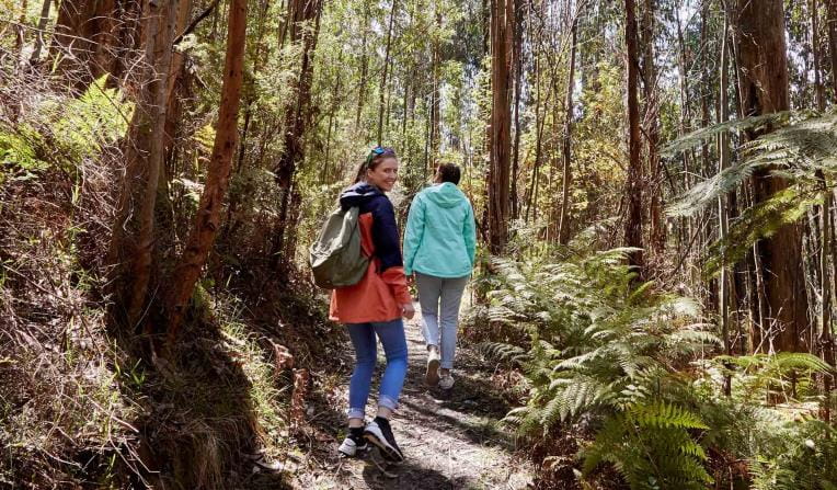
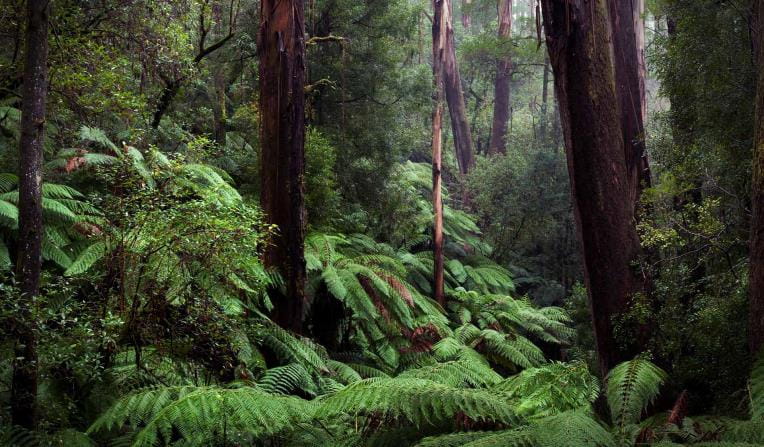
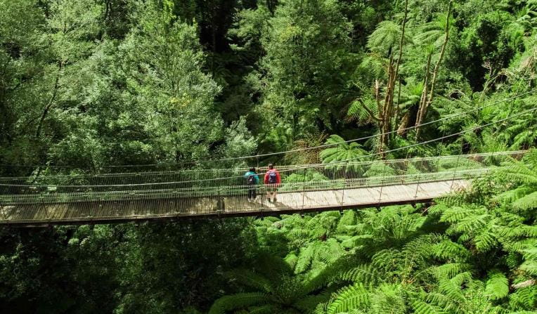
 Tall Forests
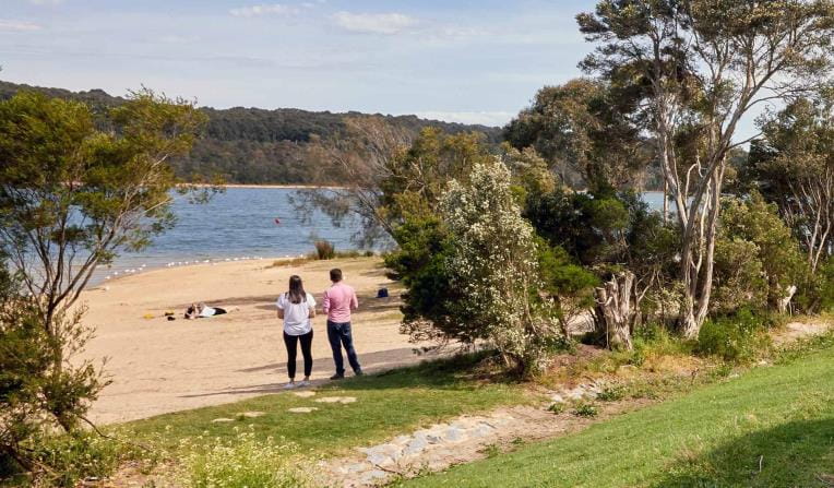
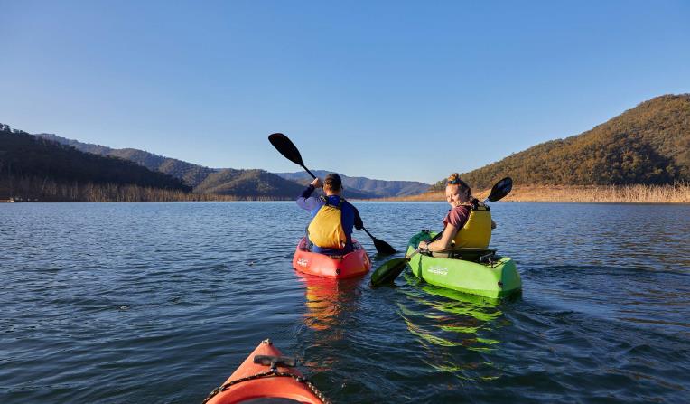
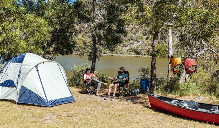
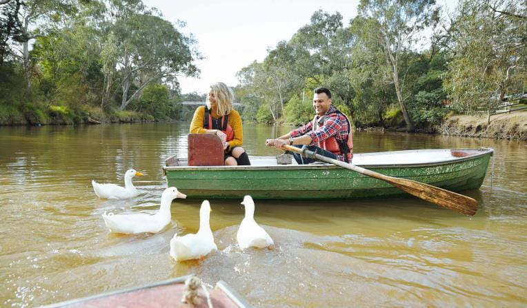
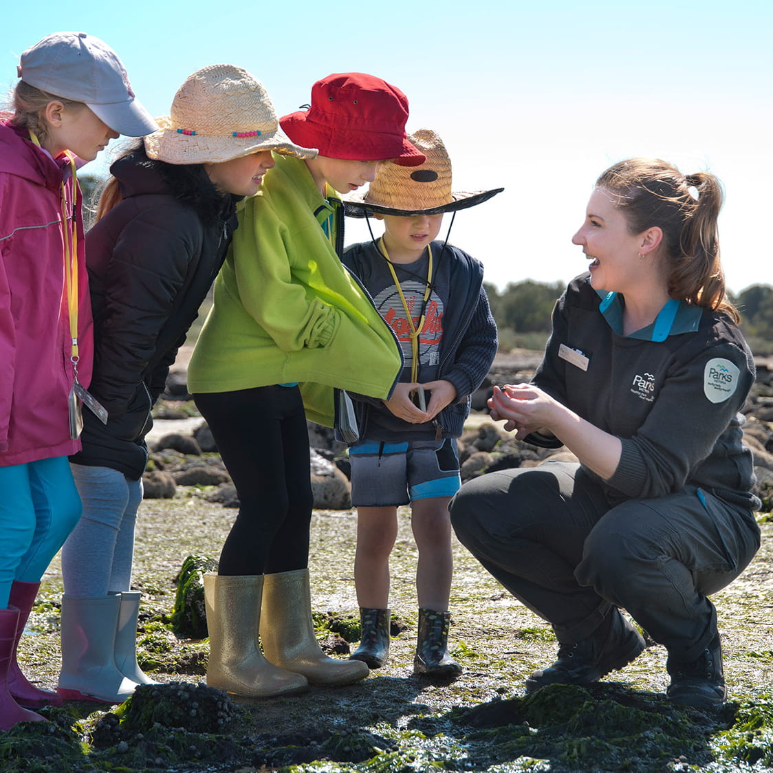
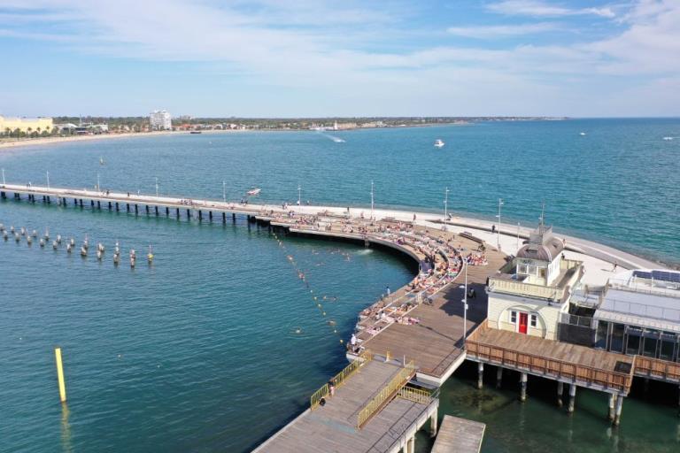
 Bays, Lakes and Rivers
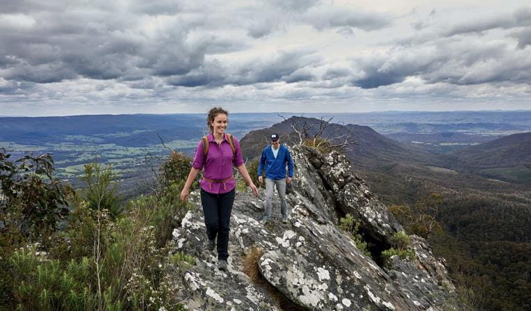
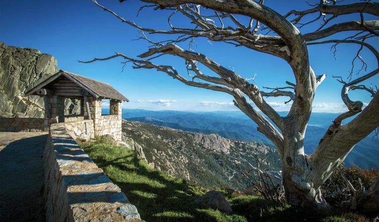
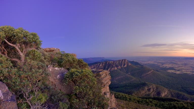
 Mountain Peaks
 Urban Parks

Rugged Bushlands
Tall Forests
Bays, Lakes and Rivers
Mountain Peaks
Urban Parks
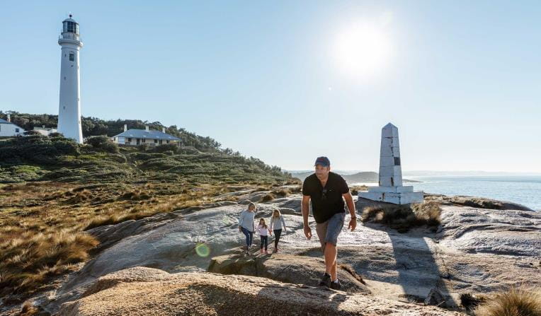


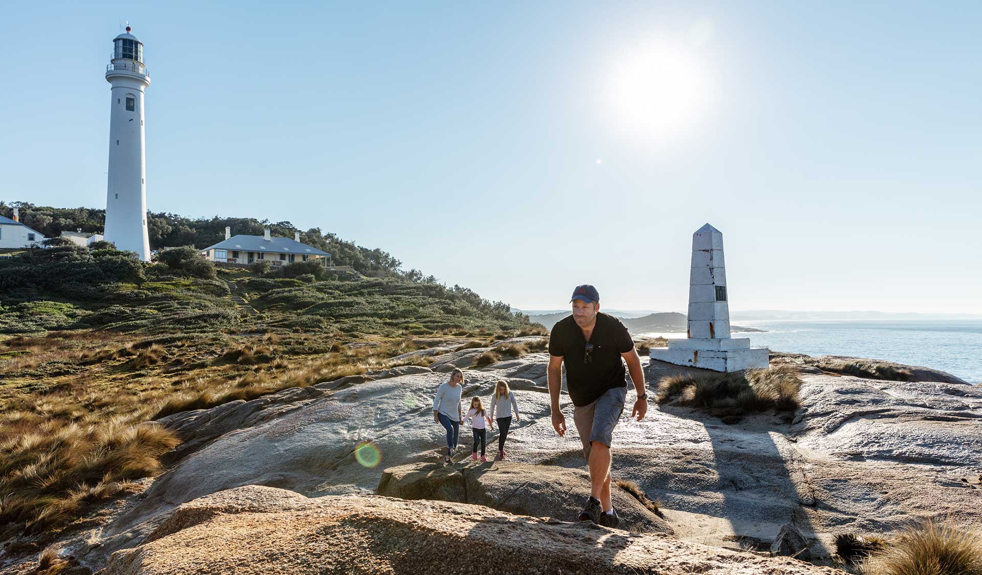
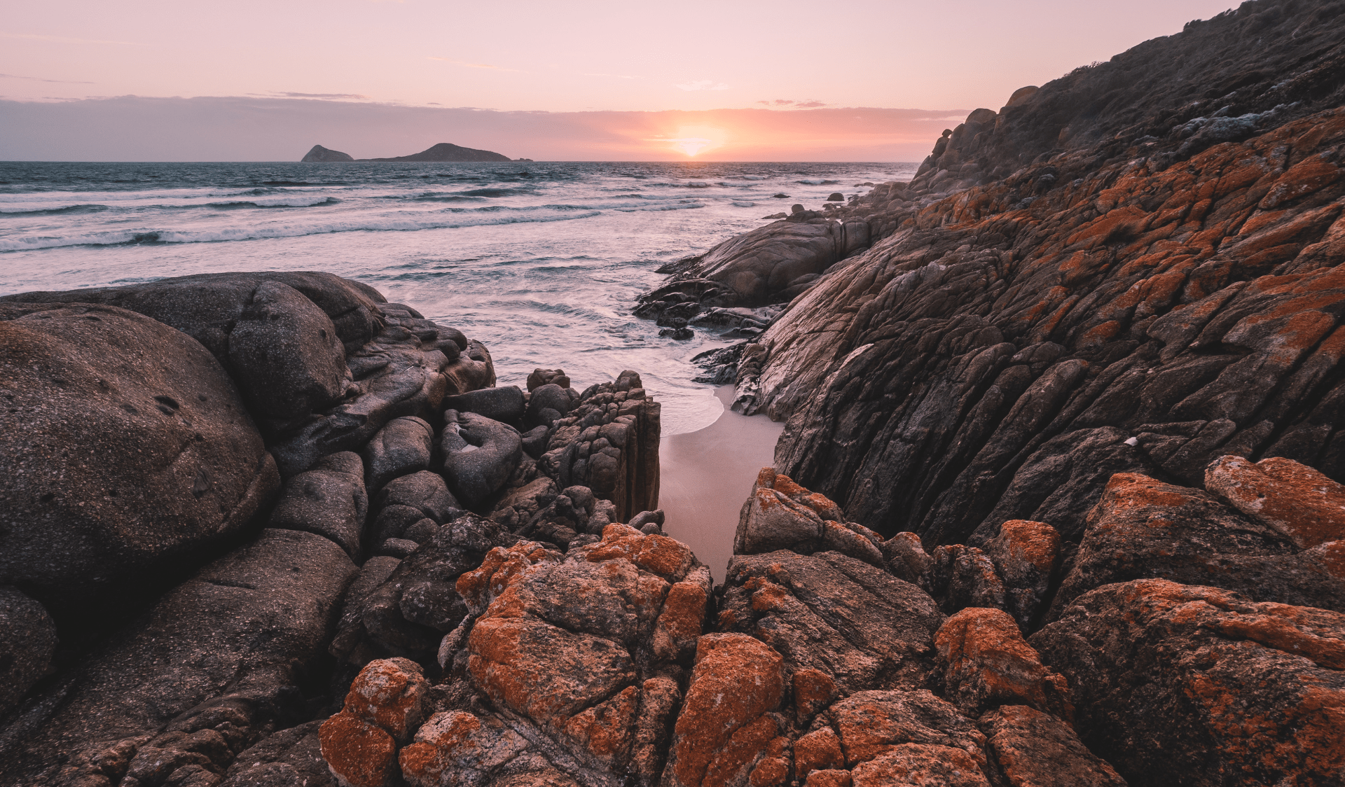
Beaches and Coasts
Venture out along Victoria's dramatic coastline and explore one of the most biodiverse and unique marine ecosystems in the world.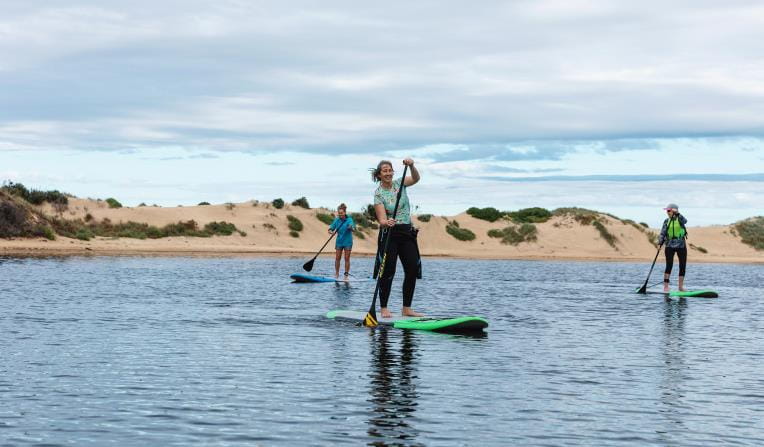
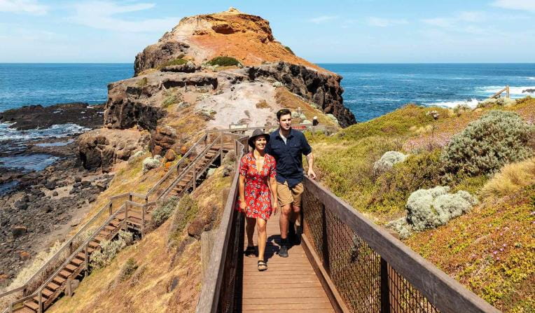
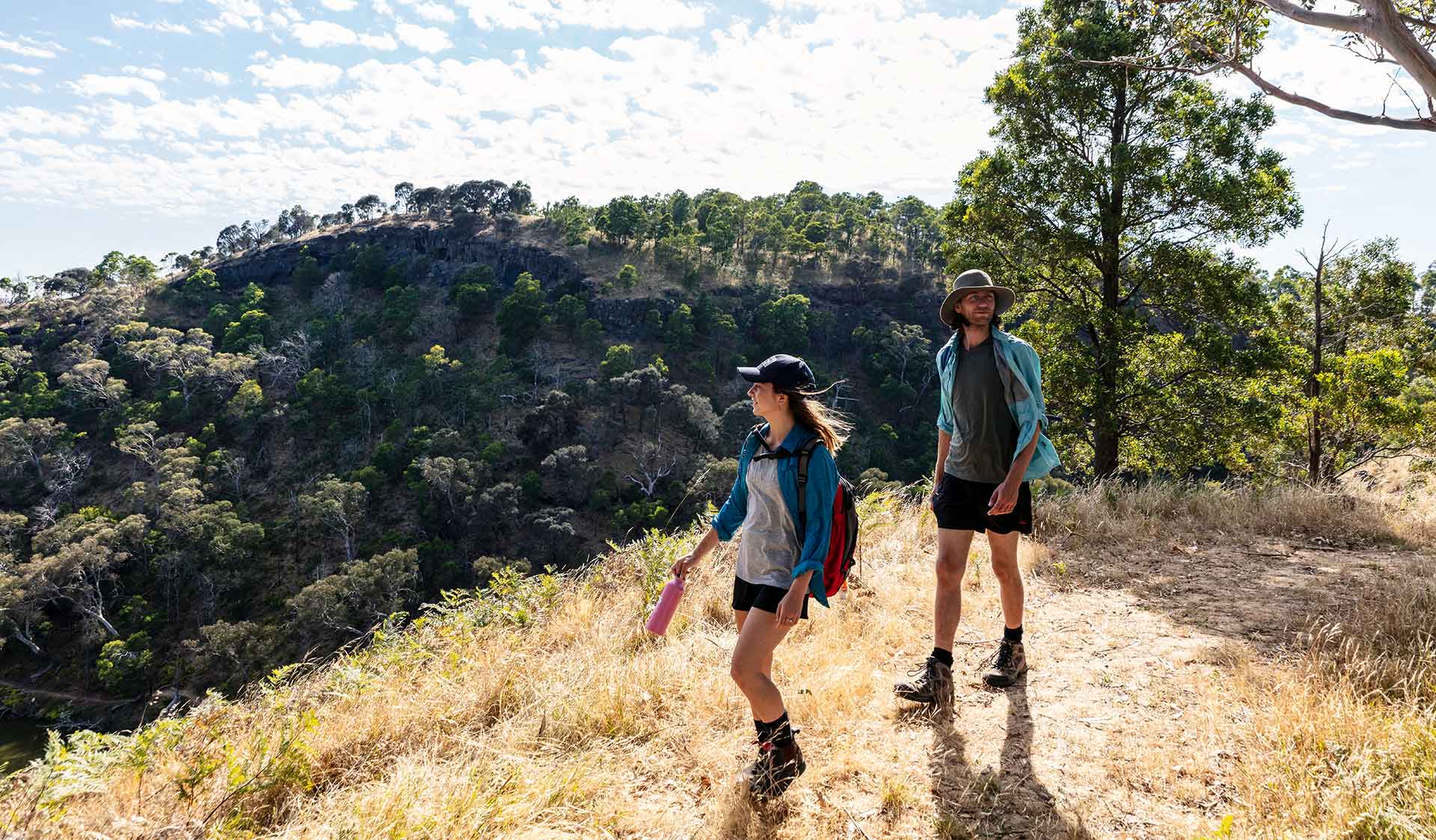
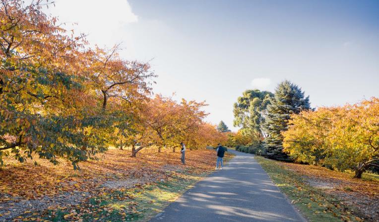
Rugged Bushlands
Escape to virtual isolation in open, dry forests and woodlands, dry and semi-dry arid deserts or grassy plains abundant with wildflowers and wildlife.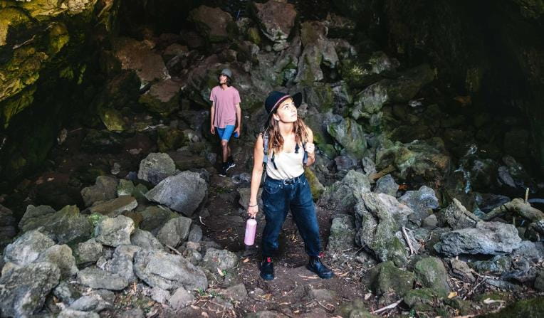
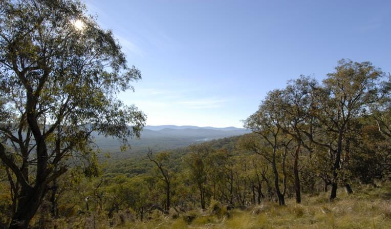

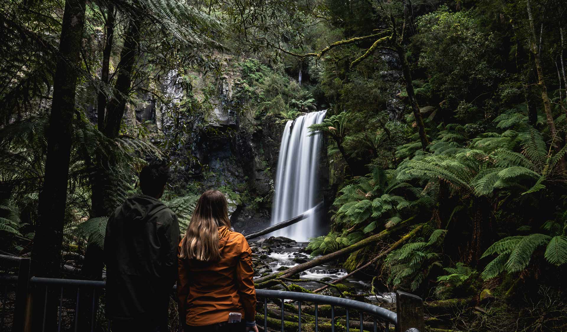
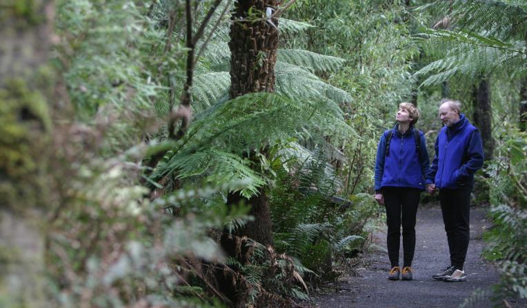
Tall Forests
Walk under grand canopies of Mountain Ash and through lush green tall forests. See ancient mossy trees and stand under magnificent waterfalls surrounded by giant ferns.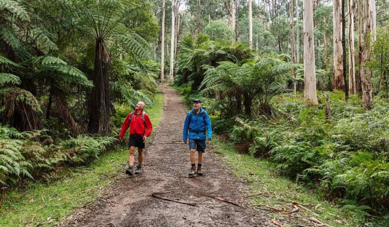
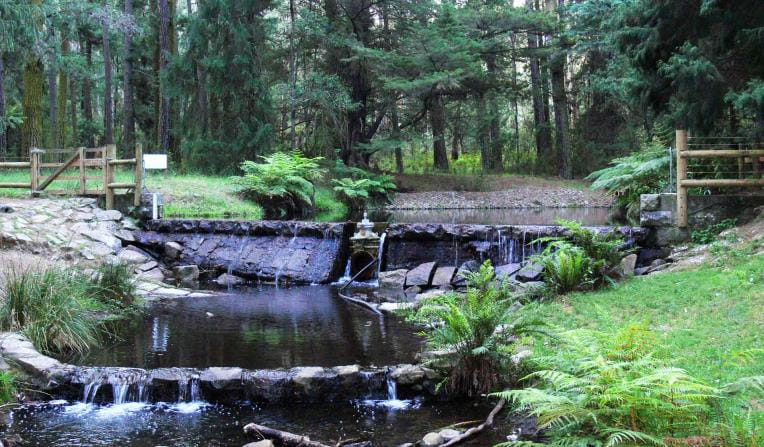
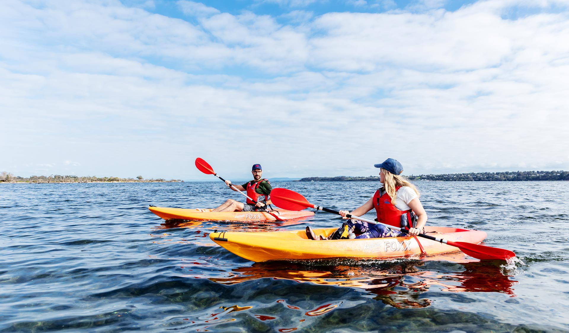
Bays, Lakes and Rivers
Explore Victoria's parks from the water with a variety of inland river systems, ports made up of wide bays and stunning tranquil lakes.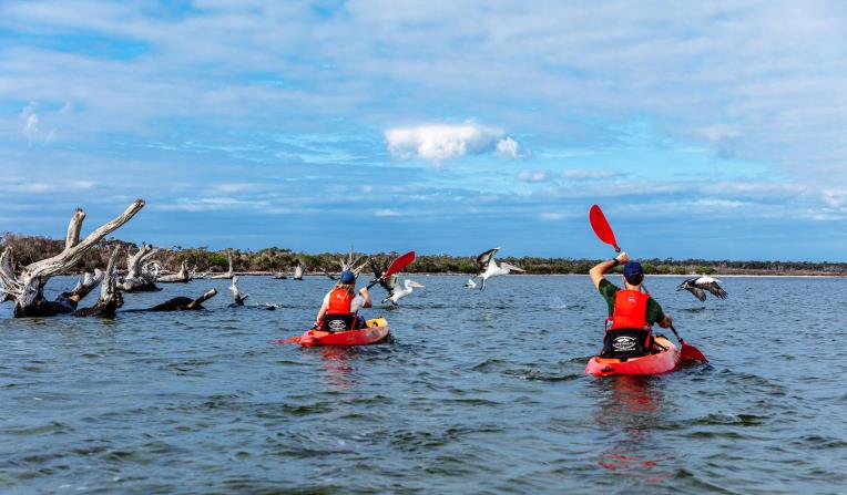
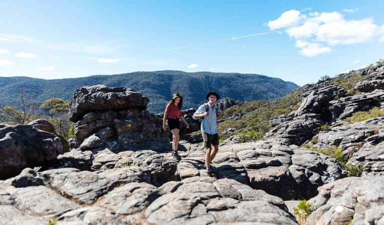
Mountain Peaks
Climb some of Australia’s most stunning mountain peaks, cross-country ski across alpine landscapes, escarpments and hike through grassy high plains.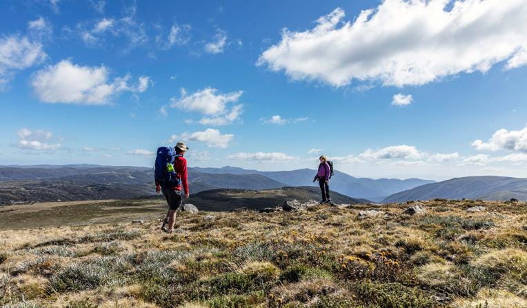
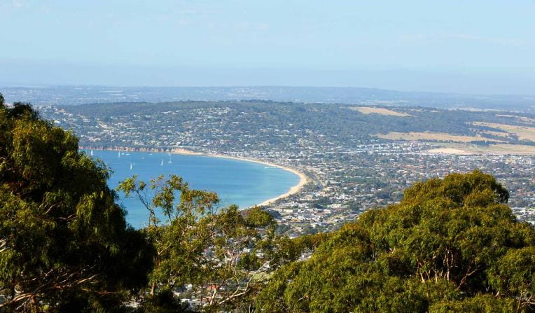
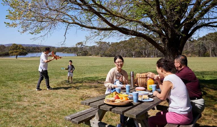
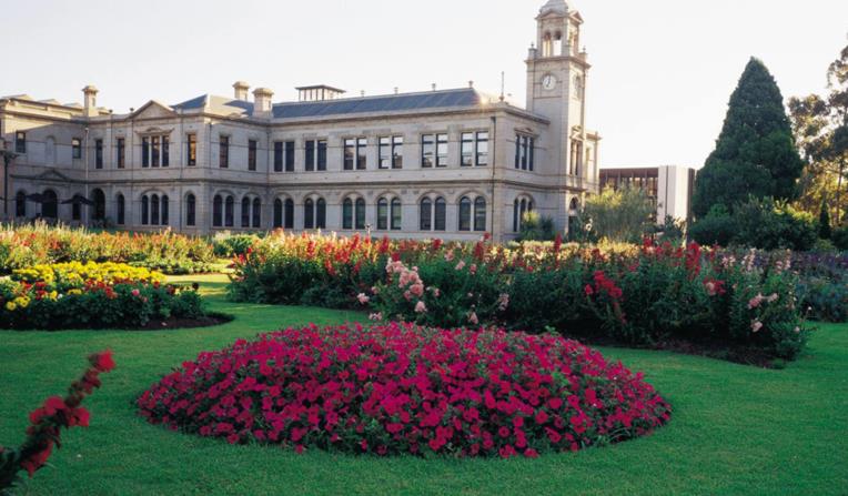
Urban Parks
Walk, jog, run or cycle in Melbourne’s picturesque urban parks. Pack a picnic or BBQ and lunch alfresco in nature or meander through picturesque gardens.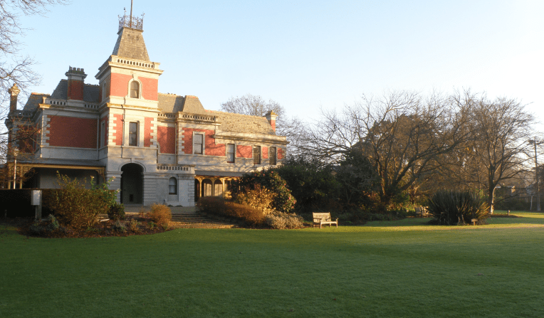

Get into nature
News
Safer summers ahead: new rules for St Kilda and Altona piers
After a successful summer trial, new rules proposed by Parks Victoria to improve safety in waterways around the St Kilda and Altona piers have been adopted by Safe Transport Victoria.

A future taking shape in the (artificial) hollows
In the semi-arid woodlands of Wyperfeld National Park, recovery is already emerging after the January 2026 fires - driven by a steady and practical effort to help nature rebound, including targeted support for the threatened Pink Cockatoo.
More climbs now open in the Grampians
More than 500 individual routes across 17 designated climbing areas are now open, thanks to recently completed surveys in the Grampians (Gariwerd) National Park.