What's open in the Grampians post-summer fires
Updated: 4 July 2025
If you’re wondering if it’s a good idea to plan a trip to Grampians (Gariwerd) National Park – the answer is, a resounding, yes.
Most visitor sites within the non-fire affected areas of the national park are now re-opened to the public. Towns such as Halls Gap, Dunkeld, and Wartook are fully open, and businesses across the region are welcoming visitors.
As at 4 July, the following walks, campgrounds and roads are reopening:
- Mount Rosea walking track
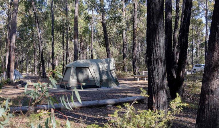
- Borough Huts Campground
- Tunnel Track
- Sundial Carpark to Borough Huts campground section of the Grampians Peaks Trail
- Bugiga Hike-In Campground
- Stony Creek Group Campground
In this guide, we've compiled essential information to help you navigate your visit to Gariwerd responsibly and safely.

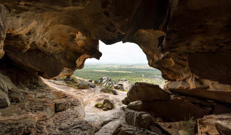
Boroka Lookout, March 2025
Post-fire update
Fire has shaped the Grampians for 440 million years, playing an essential role in regeneration and biodiversity.
We acknowledge that the fire has affected the Country of the Djab Wurrung, Jadawadajali and Gunditjmara peoples who have occupied, cultivated and shaped the Gariwerd Landscape for thousands of generations.
The summer bushfires that impacted large parts of the park are now under control. Most visitor sites within non-fire affected areas of the national park are now re-open, safe, and ready to welcome visitors.
What's currently open in the Grampians
The Grampians continues to be a place where you can experience awe-inspiring mountain panoramas, majestic waterfalls, world-famous hiking trails and rich cultural heritage, and cross paths with native animals like kangaroos, wallabies, emus and birds.
While some areas have been impacted, many of the spectacular drawcards to the park – like Mt Sturgeon (Wurgarri), The Pinnacle, MacKenzie Falls, and many more – haven't been affected by bushfire.
The below locations are now re-open to the public. View the full list of re-opened visitor areas.
Central Grampians
Many popular day walks and viewpoints in central Grampians surrounding Halls Gap and Brambuk the National Park and Cultural Centre are open and safe.
Don’t miss: the sunset from Reeds Lookout, which overlooks Victoria Valley, Victoria Range, Serra Range, Lake Wartook and the Mt Difficult Range. You can drive right to the viewing platform or walk up past the fire tower for even more expansive views.
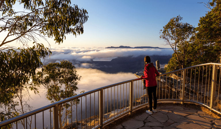
Boroka Lookout
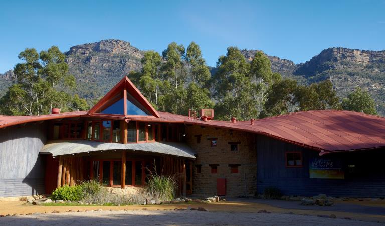
Brambuk The National Park and Culture Centre
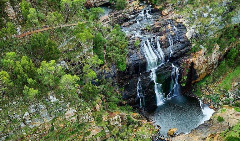
Mackenzie Falls
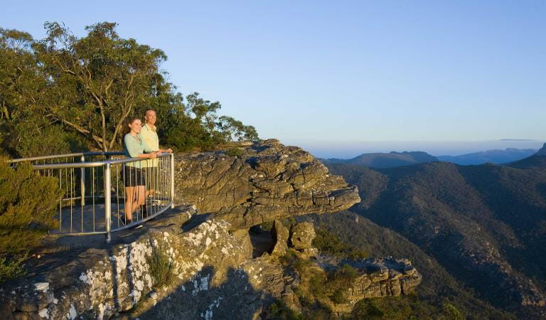
Reeds Lookout
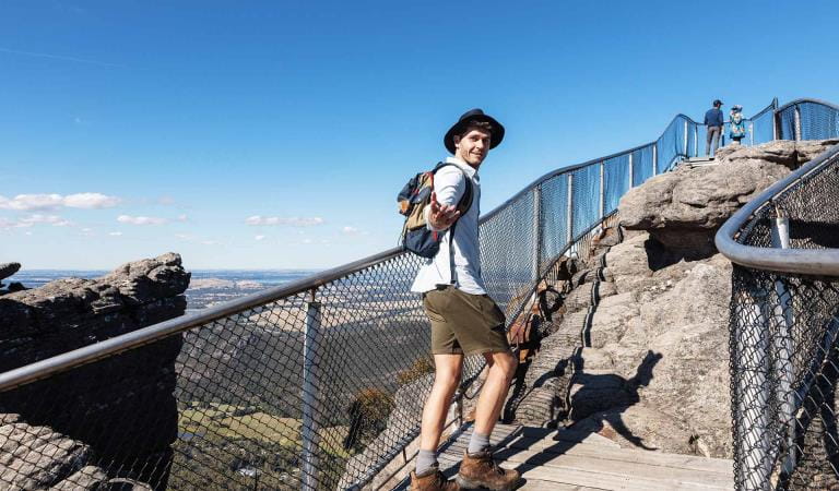
The Pinnacle walks
Zumsteins Historic Area
Smiths Mill Campground
Northern Grampians
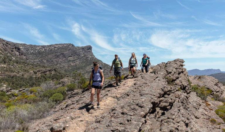
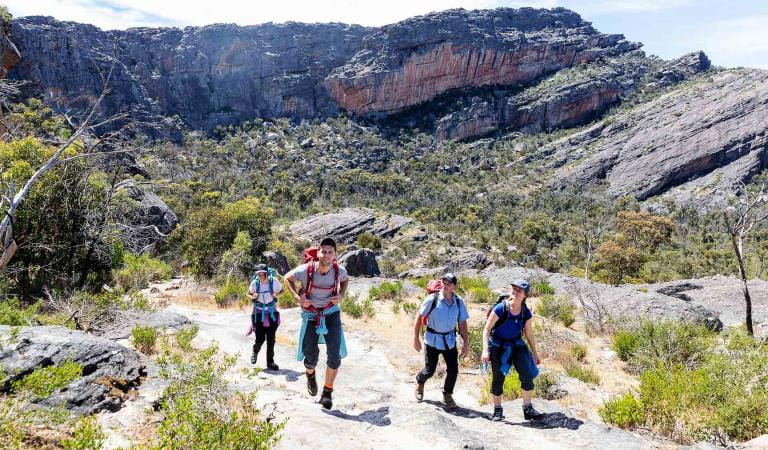
The northern section of the spectacular Grampians Peaks Trail, where you’ll experience panoramic views and hike along rugged rocky ridgelines, is open for day walks and overnight stays from Mount Zero to Halls Gap.
Mount Zero, Mount Stapylton, Hollow Mountain, Beehive Falls and Mount Difficult (Gar) day walks are also open.
Don’t miss: the Gar and Werdug 3-day hike where you’ll witness seasonal waterfalls, climb mountain summits and enjoy clifftop camping.
Gar and Werdug 3-day Hike
Hollow Mountain
Mount Stapylton Loop Walk
Lower Waterfalls of Gar Walk (Mt Difficult)
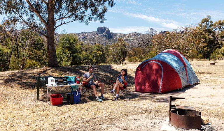
Stapylton Campground
Southern Grampians
In the southern area of the park, Mt Abrupt (Mud-Dadjug), Mt Sturgeon (Wurgarri) Piccaninny (Baingugg) are open for day walks and the Grampians Peaks Trail between Dunkeld and Cassidy Gap Road for overnight walks.
The town of Dunkeld is a great base to explore this part of Grampians National Park.
Don’t miss: The Piccaninny (Bainggug) Walk, an easy-moderate 2.4km trail which steadily climbs to great views of the entire Southern Grampians range and surrounding plains.
Djardji-djawara and Mud-dadjug 3-day Hike

Signal Peak Walk

Piccaninny (Bainggug) Walk
Plan your visit
Along with the natural beauty Gariwerd is known for, you can expect to see regenerating fire-affected landscapes, displaced wildlife, and some road closures. As ever, it’s important to plan ahead to get the most out of your visit.
- Before leaving home, check the current park conditions and download the VicEmergency app.
- Call into Brambuk the National Park and Cultural Centre in Halls Gap for up-to-date park information, maps and brochures (open 9am to 4pm, 7 days a week).
- Keep an eye out for wildlife on your walk or drive – drive carefully and call 1300 356 682 if you see impacted wildlife.
- Support local – communities like Halls Gap, Dunkeld and Wartook are ready to welcome you. Your visit will be helping to help the region get back on its feet. Visit the official Visit Grampians website for ideas on what to see and do in the wider Grampians region.
- Respect all closures – many roads and some areas remain closed following the fires. Please don’t try to go into any of these areas for your safety.
- Book a tour or experience with a Licensed tour Operator (LTO) – it’s a safe and fun way to visit the region and support local communities.
Frequently asked questions
-
Are the Grampians open?
Many areas of Grampians (Gariwerd) National Park are now open and safe for visitors to return to.
This includes Mt Sturgeon (Wurgarri), Mt Abrupt and Bainggug (Piccaninny) in the south near Dunkeld, favourite walking tracks surrounding Halls Gap, including the Pinnacle, Grand Canyon, Venus Baths and Chataqua Peak, also MacKenzie Falls, Reeds lookout, Mt Stapylton, Hollow Mountain, Beehive Falls and Mt Difficult in the north.
Northern and southern sections of the Grampians Peaks Trail are also reopened for hikers looking for an overnight experience (learn more below).
Call into Brambuk the National Park and Cultural Centre in Halls Gap for up-to-date park information or view the full list of re-opened visitor areas here.
For more information on road closures, visit the VicTraffic website.
-
Are the Grampians worth visiting after the bushfires?
Yes, many of the spectacular drawcards to the park like Mt Sturgeon (Wurgarri), The Pinnacle, MacKenzie Falls, and many more, have been unaffected and are re-open to visitors.
The Grampians continues to be a place where you can experience awe-inspiring mountain panoramas, majestic waterfalls, world-famous hiking trails and cross paths with native animals like kangaroos, wallabies, emus and birds.
Plus, your visit will be helping to support local businesses and communities as they recover.
-
Is it safe to travel to the Grampains right now?
Re-opened visitor sites within the non-fire affected areas of the national park are safe to travel to.
This includes walking tracks, campgrounds (vehicle based and hike-in), overnight hikes, designated climbing areas, roads, access tracks and picnic areas. View the full list of re-opened visitor areas.
Be aware that some roads and areas remain closed. Please don’t try to go into any of these areas for your safety.
-
What areas were affected by the fire?
Several bushfires impacted large parts of the Grampians (Gariwerd) National Park including the Serra, Mount William and Victoria Ranges, Victoria Valley, Wallaby Rocks and central corridor areas.
-
Has the Grampians Peaks Trail been affected?
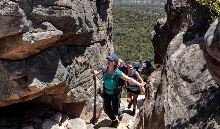
The central section of the Grampians Peaks Trail has been affected, but the northern and southern sections have reopened, perfect for hikers looking for an overnight experience.
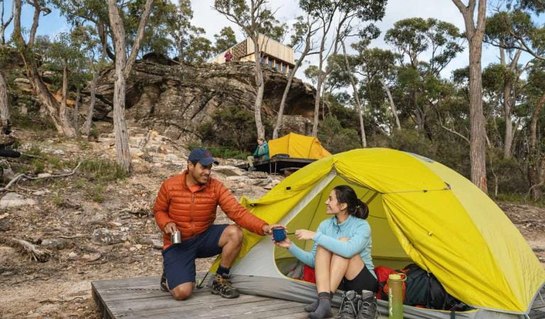
In the north, a 50km section of the trail is open between Mount Zero and Halls Gap. Hikers can enjoy up to three nights on the trail at Barigar, Gar and Werdug Hike-in campgrounds.
In the south, a 21km section of the trail is open between Dunkeld and Cassidy Gap Road. Hikers can complete a one or two-night walk by staying at Djardji-djawara or Mud-Dadjug Hike-in campgrounds.
Please note that camping fees apply at hike-in campgrounds along the Grampians Peaks Trail. These campsites are excluded from the current free camping initiative.
One of the best ways to experience the Grampians Peaks Trail is with a Licensed Tour Operator (LTO) who provide a variety of different guided packages and services, like transportation. Learn more about Grampians Peaks Trail tour operators.
-
Is the Grampians fire still burning?
Since 16 December 2024, several bushfires impacted large parts of the Grampians (Gariwerd) National Park.
The fires are now listed as ‘under control’, however large areas of the national park remain closed to support ongoing fire recovery operations and to ensure visitor and community safety.
-
What are some ways I can help support the recovery of the Grampians region?
Now, more than ever, visiting can help support local businesses and communities as they recover.
A great way to support the area is to plan an extended break or stay overnight in the region. Visit the official Visit Grampians website for ideas on what to see and do in the wider Grampians region.