Explore
Grampians (Gariwerd) National Park
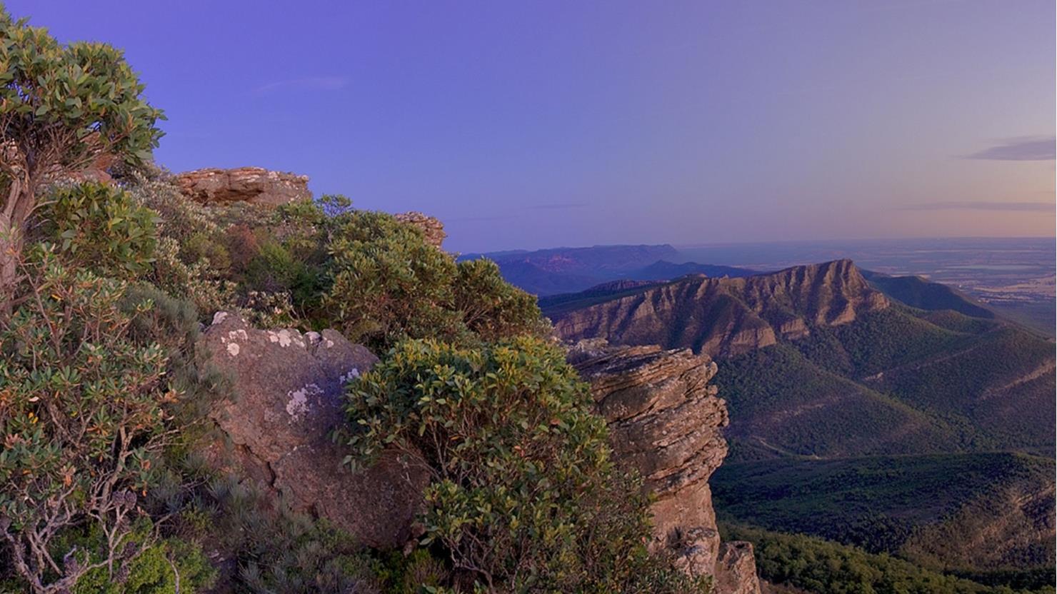
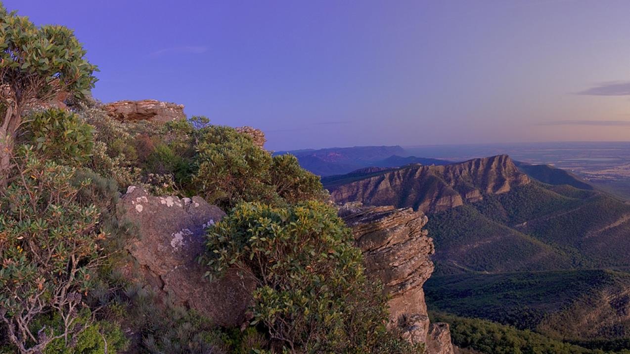
Explore the natural beauty of the Grampians from its world-famous hiking trails. Discover majestic waterfalls, dazzling spring wildflower displays and awe-inspiring mountain panoramas. Cross paths with kangaroos, wallabies, emus and native birds. Heritage-listed for its Aboriginal heritage, animal and plant life, and stunning natural beauty, the Grampians National Park is one of Australia's most recognisable places. The best way to appreciate it is on one of its many world-class walks or hikes or by taking a scenic drive.
Traditionally known as Gariwerd, this region is home to the largest number of significant and ancient Aboriginal rock art paintings and shelters in southern Australia. A visit to Brambuk – The National Park & Cultural Centre will help you get the most of your trip to these rock shelters.
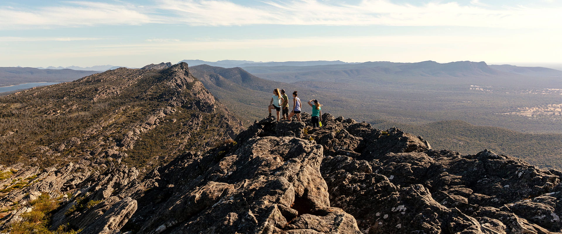
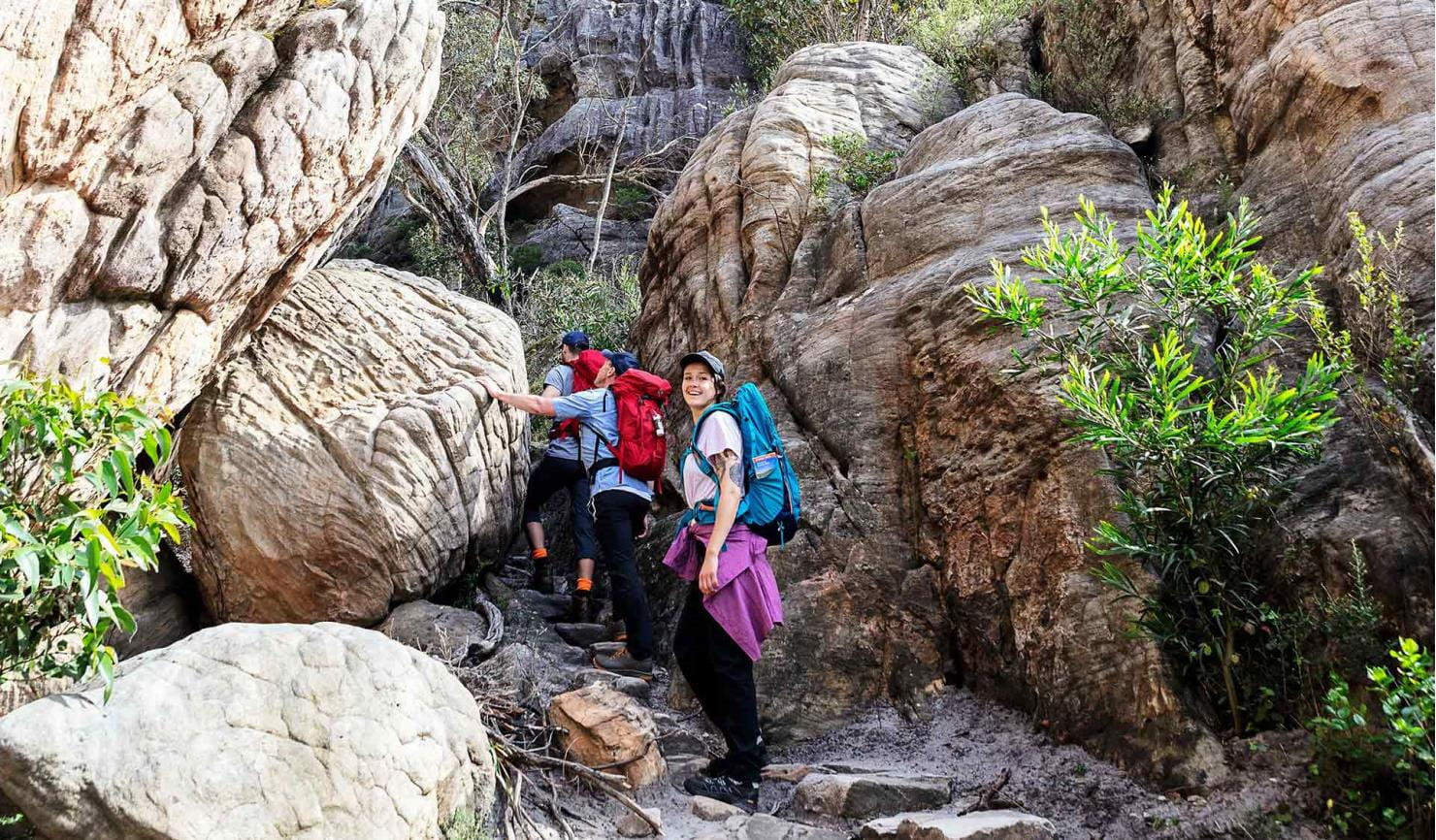
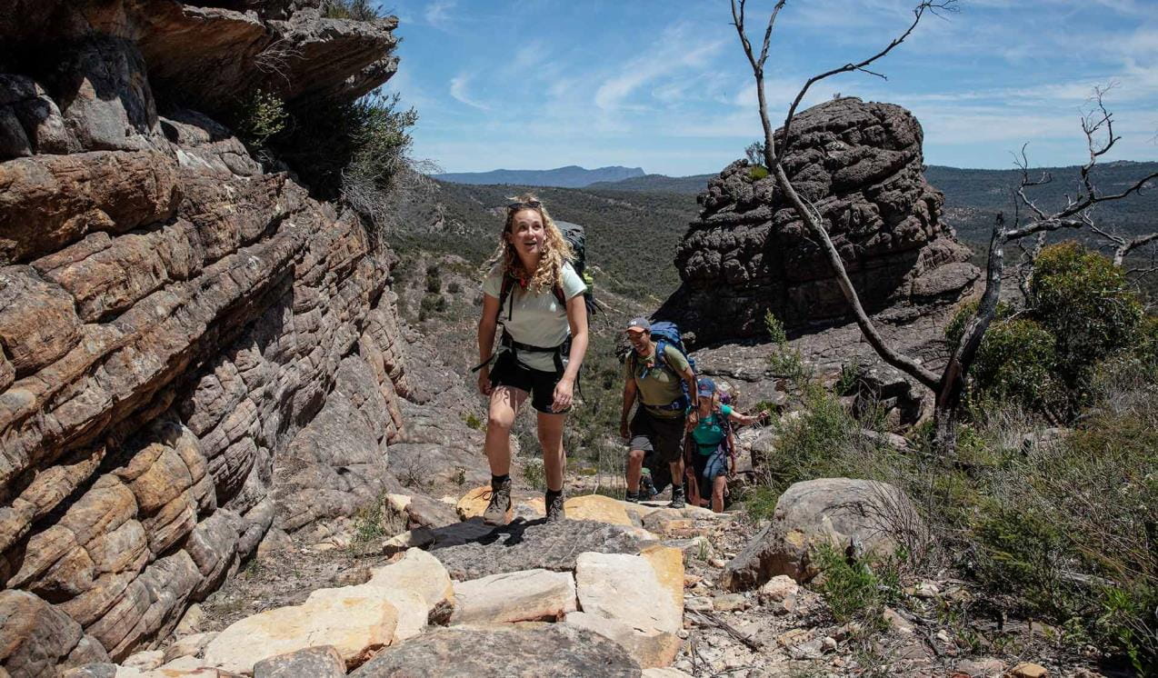
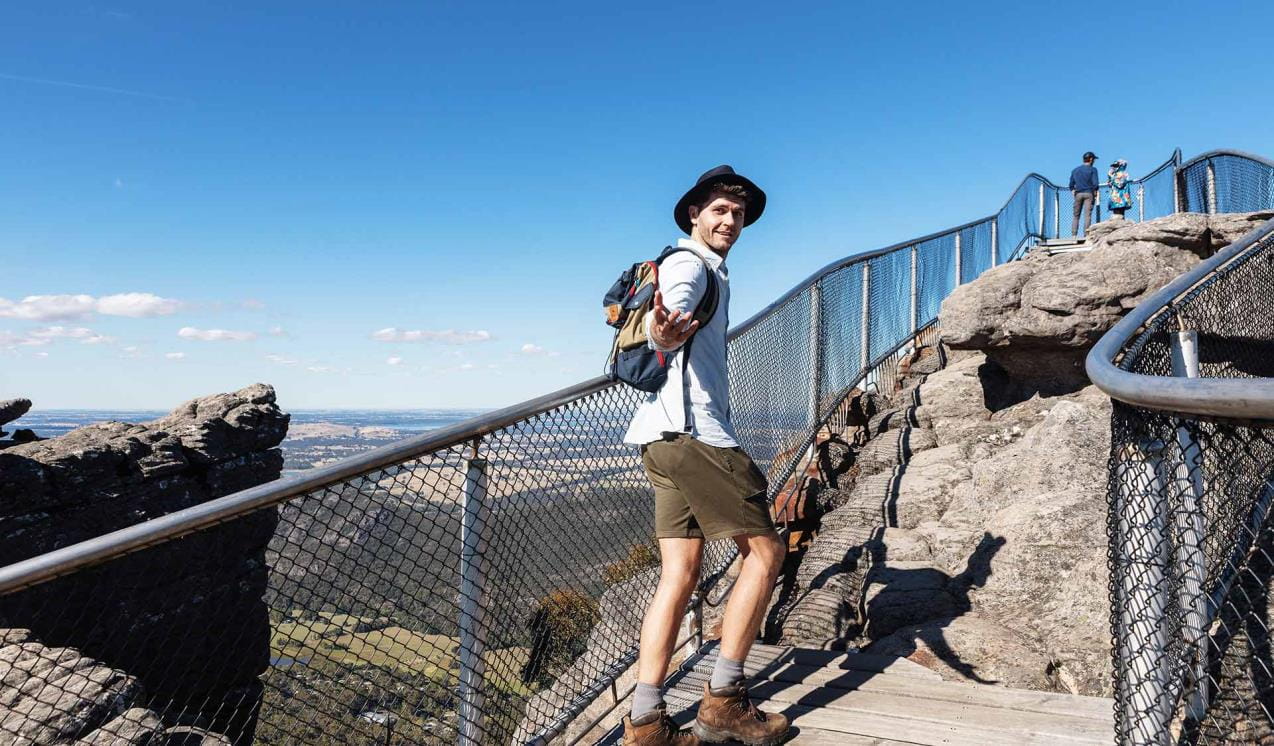
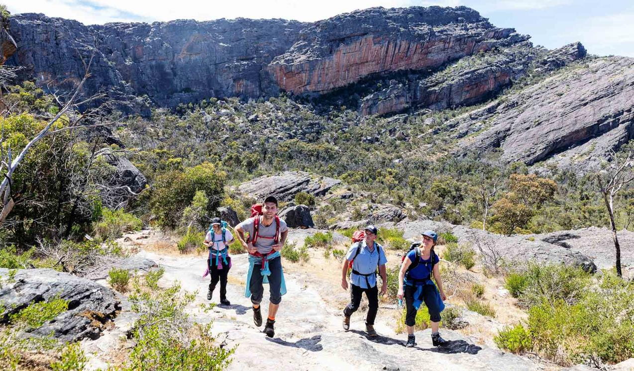
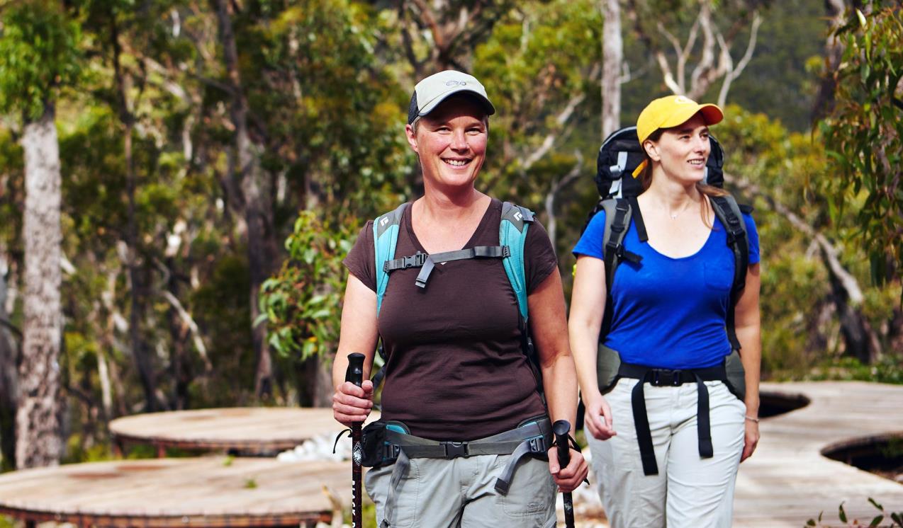
The Grampians draws walkers from around the world. Hike to the highest peak within the Grampians, Mount William, or explore the plethora of walks around Halls Gap and the Wonderland Range. Views from the Pinnacle are famous, but the steep walk should only be attempted by the fit. If you’re an experienced walker you’ll enjoy the unique challenge of the park’s overnight hikes. Choose from the iconic Grampians Peaks Trail, Major Mitchell Plateau or The Fortress and Mt Thackeray Overnight Hike.
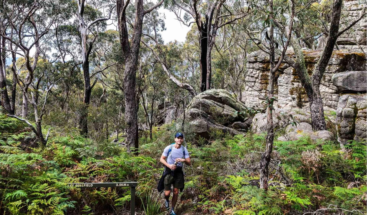
There are more relaxing pursuits to enjoy in the Grampians, too. Go fishing, canoeing or kayaking at Lake Wartook, Lake Bellfield and Moora Moora Reservoir or one of the park’s many other streams and creeks.
Grampians Peaks Trail
The Grampians Peaks Trail (164km) is a world-class 13-day hiking experience from Mt Zero in the north, through Halls Gap and finishing at Dunkeld in the south. It can also be completed in shorter sections.

Mackenzie Falls
Mackenzie Falls is the most iconic and spectacular waterfall in the Grampians. Watch the majestic waterfall from the lookout platform or tackle the steep track to the base of the falls. Make the most of your day trip in the Grampians National Park with a strenuous walk through the beautiful MacKenzie River Gorge to Zumsteins Historic Area.
The Pinnacle walks
Choose from two different routes up to The Pinnacle lookout – an easy to medium walk from Sundial Carpark and a more challenging walk from Wonderland Carpark.
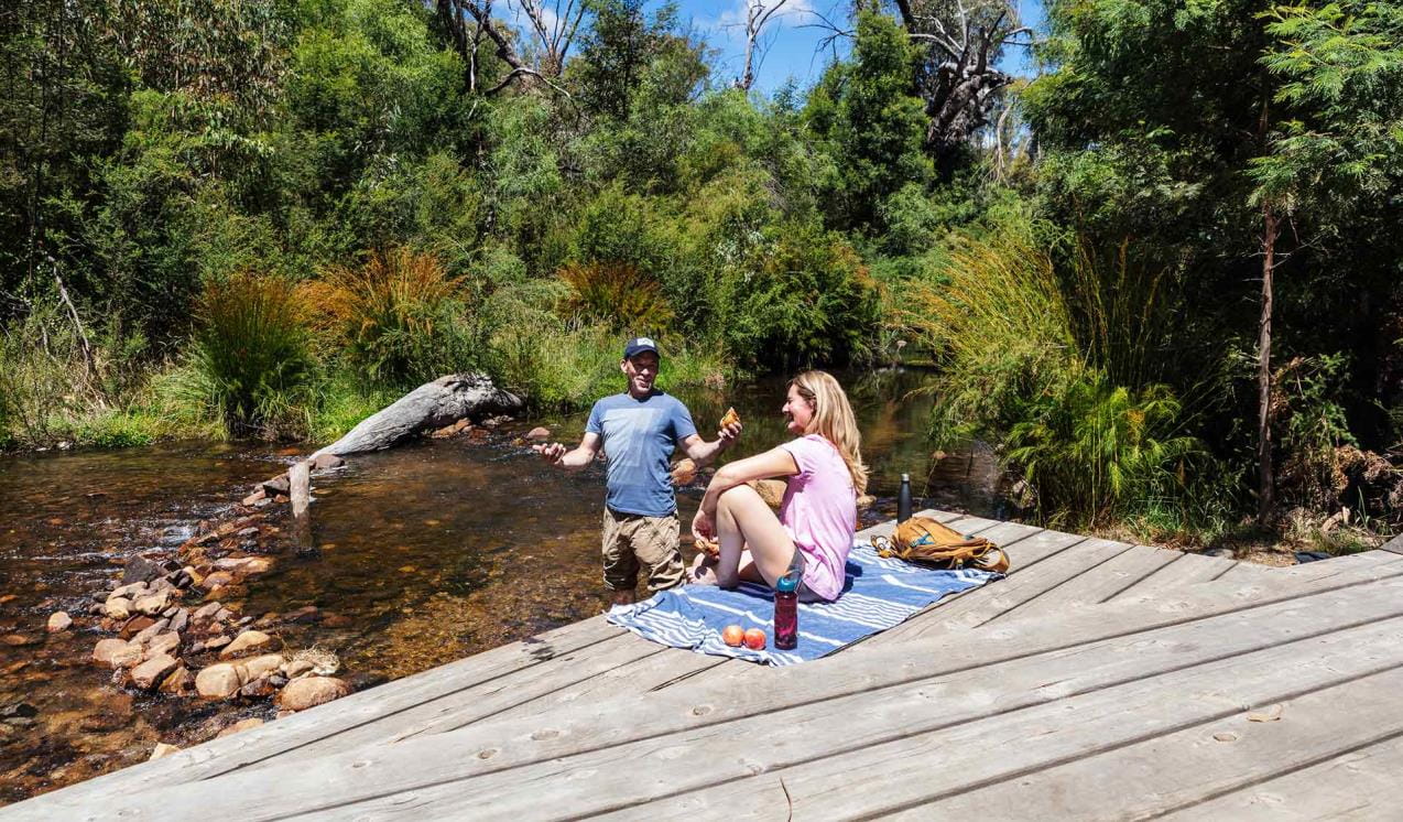
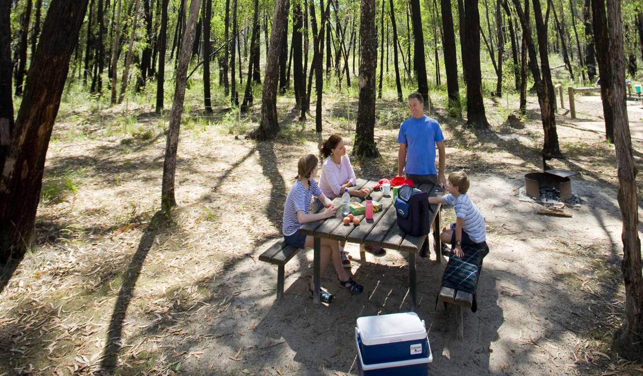
Zumsteins Historic Area
Zumsteins Picnic Area is located on the banks of the MacKenzie River and is the site of an historic settlement. It provides a great opportunity to relax in the natural setting of the Grampians, enjoy the wildlife, a barbecue and a short stroll.
Mount Stapylton Loop Walk
Hike through open forest and scramble over rocky outcrops on the Mount Stapylton Loop Walk. The adventurous walk will test your endurance as it dips into forested gullies and navigates the steep slope of Flat Rock. Fit walkers can tackle the challenging trek to the summit of Mount Stapylton for sweeping views of the Grampians.
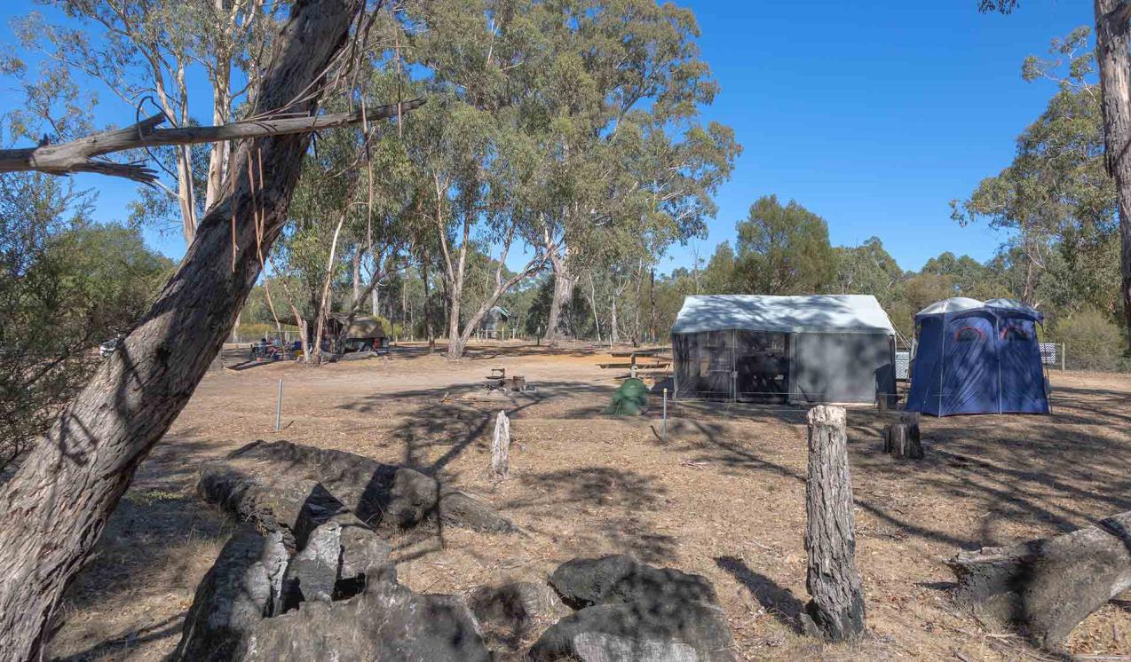
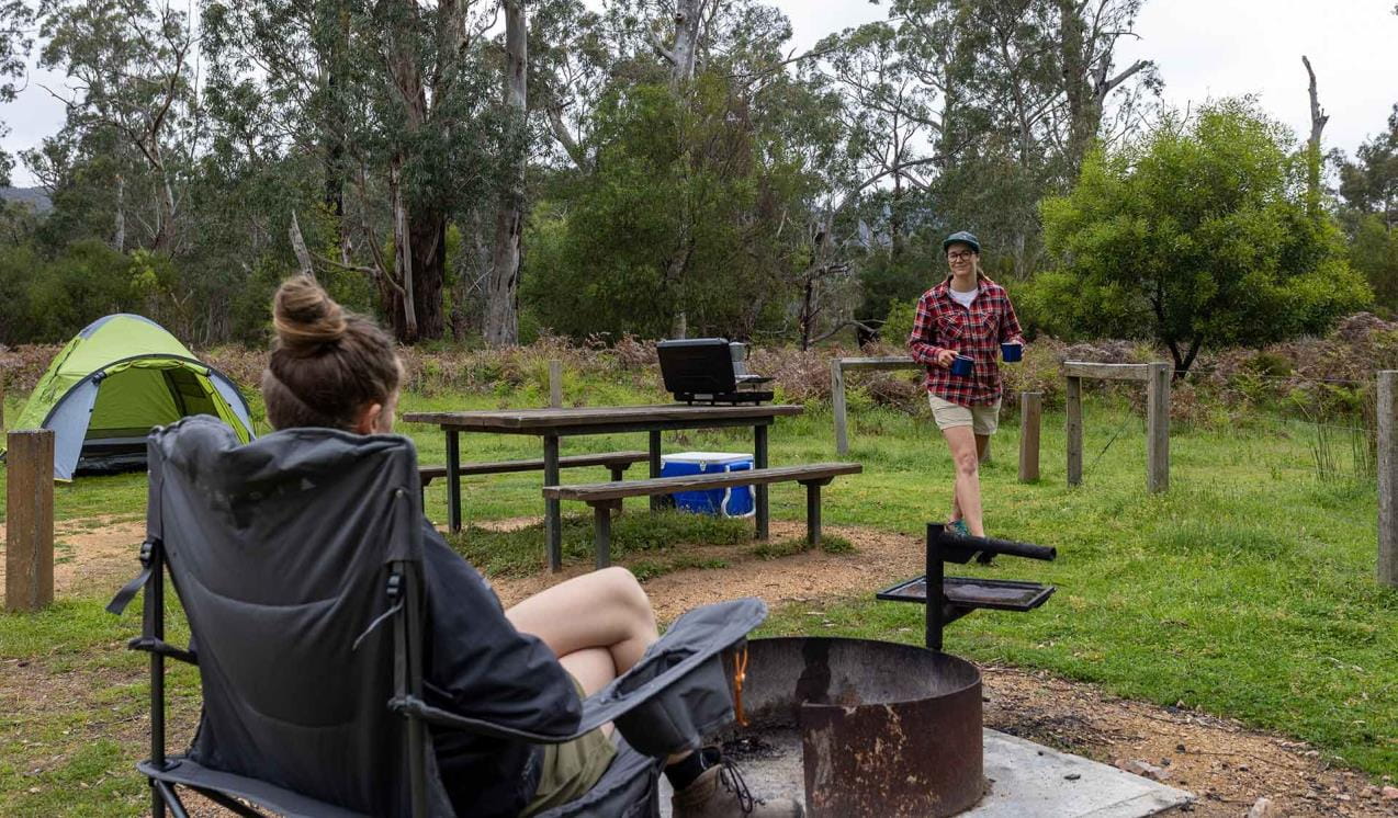
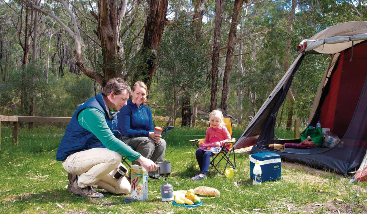
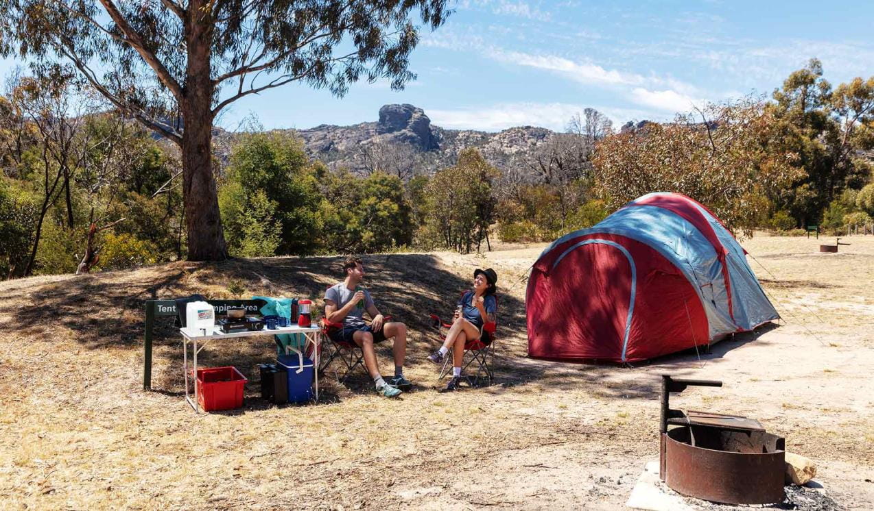
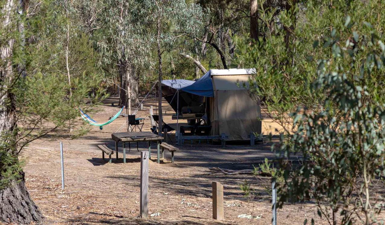
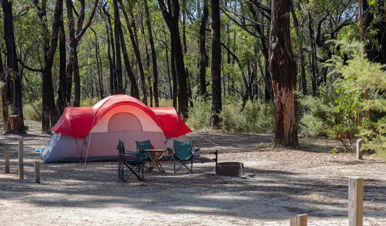
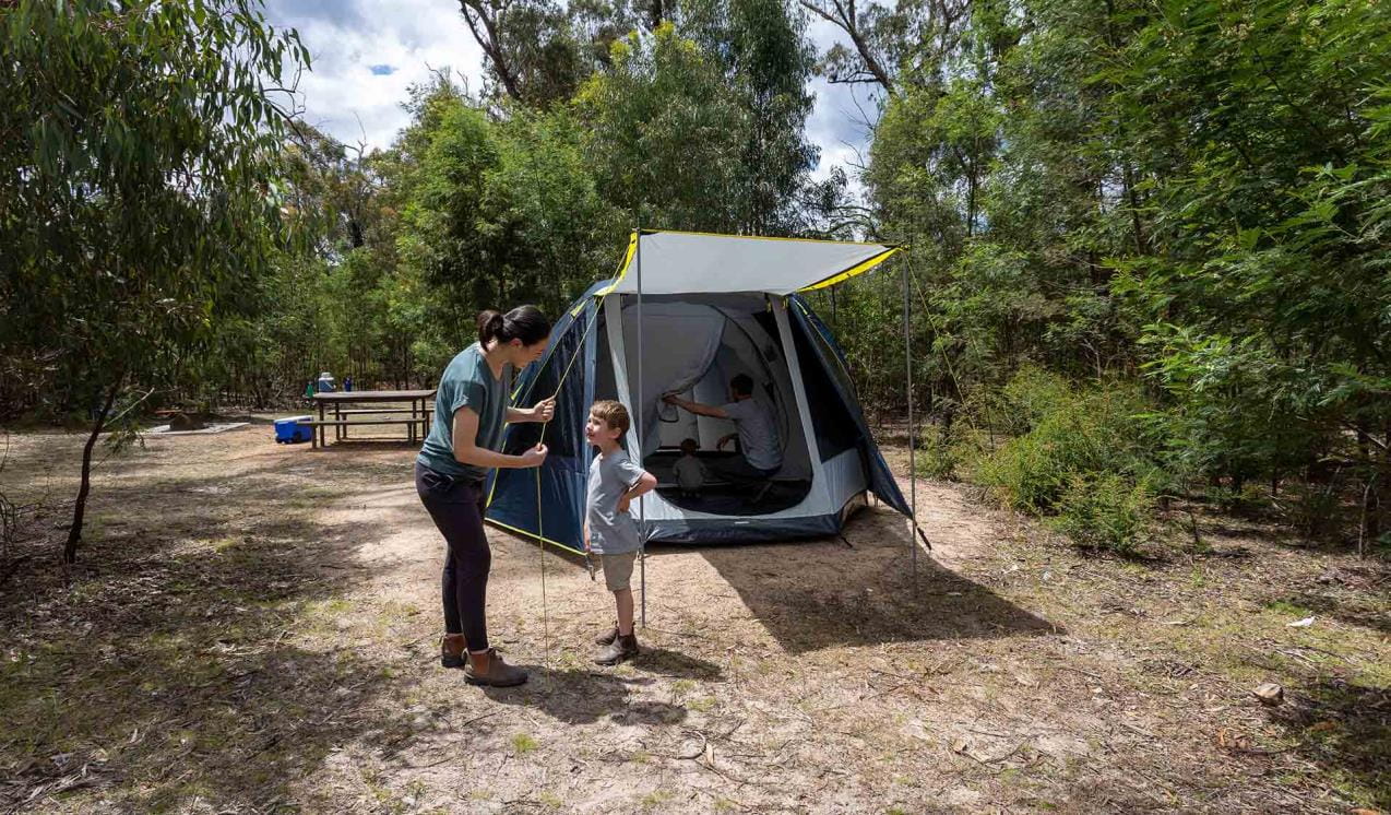
Boreang Campground
There are many locations for camping in the central region of the Grampians National Park including, Smiths Mill Campground, Borough Huts Campground, Boreang Campground and Jimmy Creek.
Jimmy Creek Campground
Jimmy Creek Campground is located in an open forest adjacent to the upper Wannon River. This campground is halfway between Halls Gap and Dunkeld, and is a great base for exploring both the Southern and Eastern Grampians.
Smiths Mill Campground
Smiths Mill Campground is positioned within heath woodland at the site of an old sawmill. It is centrally located a kilometre from Mackenzie Falls, and only a short drive to Boroka Lookout, Reed Lookout and Zumsteins Picnic Area.
Stony Creek Campground
Stony Creek Group Campground is available for schools or groups of up to 16 people undertaking overnight walks such as the Grampians Peaks Trail in the Wonderland and Mt Rosea areas. Vehicle accessible off Stony Creek road, this camping areas has a drop toilet, elevated timber tent platforms, a group gathering area and a day use shelter available. Bookings apply.
Borough Huts Campground
Borough Huts Campground is set in a tranquil forested area adjacent to Fyans Creek. It is close to Halls Gap, The Wonderland Range and a starting point for walks to Lake Bellfield and Mt Rosea.
Stapylton Campground
Stapylton Campground is one of the best places to stay when exploring the Northern Grampians. It is close to a great selection of day walks, Aboriginal rock shelters, world-class rock climbing, picnic areas and day visitor sites.
Mount William
Mount William or Duwul is the highest peak in the Grampians National Park (Gariwerd). This trailhead provides access to the challenging Mount William walk where you can obtain 360 degree views of the mountains and surrounding pastoral lands reward walkers for their efforts.
Buandik Campground
Buandik Campground is located in the Western Grampians at the base of the Victoria Range. The campground is set amongst open woodland beside Cultivation Creek and is close to the start of walks to Billimina and Manja rock art shelters and Buandik Falls.
First Wannon Hiker Camp-Major Mitchell Plateau
First Wannon Hiker Camp is a small clearing with limited space best positioned for small, single groups or individual walkers undertaking the remote overnight hike across the Major Mitchell Plateau.
Strachans Campground
Strachans Campground is located beside the headwaters of the Glenelg River at the site of a former timber mill. Strachans is perfectly situated to explore the Victoria Range and Victoria Valley, where there are opportunities for bushwalking, four wheel driving and rock climbing.
Troopers Creek Campground
Located in the northern Grampians, just south of Roses Gap, Troopers Creek Campground is set amongst tall Eucalypts and heathy shrubland, providing impressive views of Mt Difficult.
When you're there
Download the Grampians National Park visitor guide for more information about the park and a map.
Please note that for visitor and staff safety, Mackenzie Falls precinct (including Fish Falls) will be closed on days of Extreme and Catastrophic Fire Danger. Check the Fire Danger Rating forecast before you visit at cfa.vic.gov.au.
Change of park conditions
During the summer of 2024-2025, widespread bushfires impacted over 135,000 hectares in the central, west and south-eastern sections of Grampians (Gariwerd) National Park. Many popular visitor sites were damaged including campgrounds, walking tracks and sections of the Grampians Peaks Trail. Many sites have already re-opened and Parks Victoria has commenced a phased recovery program to repair, rebuild and re-open damaged visitor sites.
For up-to-date information on what’s open and closed in Gariwerd please view the change of conditions on this page
For further information on the phased fire recovery program in Grampians (Gariwerd) National Park please visit the Grampians (Gariwerd) National Park Fire Recovery page
Need to know
Grampians (Gariwerd) National Park
Where to climb
There are more than 100 designated rock climbing areas in the landscape including 13 bouldering areas. Most of these areas have multiple climbs within them.
Please note there are conditions to rock climbing in the Gariwerd landscape, including:
- Rock climbing can only occur in designated areas.
- Rock climbers are responsible for assessing and accepting the risks associated with climbing within these areas.
- Climbers are required to minimise the use of chalk and only use chalk coloured to match the rock surface.
- Adhere to signs and notifications and do not enter closed areas.
Find more information at Rock climbing in Gariwerd.
Go with a guide
Abseiling and rock climbing with a licensed tour operator is a great way to have a safe and supervised visit. There are a number of licensed tour operators offering abseiling, rock-climbing, and many other activities in the national park.
Accessibility
Boroka Lookout, Brambuk The National Park and Cultural Centre and Stapylton and Plantation Campgrounds have been assessed for accessibility.
The Grampians TrailRider is available for bookings. The TrailRider all-terrain wheelchair and TrailRider Volunteers are for park visitors with low mobility to explore the natural beauty of Grampians National Park. The TrailRider is fitted with an electric motors to assist operators on steeper sections of walking tracks. Chair passengers are required to wear a bike helmet.
The TrailRider all-terrain wheelchair and TrailRider Volunteer service are both free of charge, however, please book a week in advance. For more information and to book the TrailRider contact the Brambuk National Park & Cultural Centre on (03) 8427 2058.
Assistance dogs are welcome in Parks Victoria parks and reserves. Entry requirements apply for parks and reserves that are usually dog prohibited, such as national parks.
Subscribe to Parks Victoria
Sign up to receive the latest ideas, inspiration and news delivered right to your inbox.
Change of Conditions
Nature being nature, sometimes conditions can change at short notice. It’s a good idea to check this page ahead of your visit for any updates.
-
The Fortress Walk (Victoria Range Remote and Natural Area, Grampians (Gariwerd) National Park)
The Fortress Walk and Hike-in Campground – Temporary closure
The Fortress Walk and The Fortress Hike-in Camp remain closed to visitors due to track damage from the 2024/25 summer bushfires.For more information on alternate walks in the western section of the Grampians (Gariwerd) National Park visit Brambuk the National Park and Cultural Centre in Halls Gap or call 03 8427 2058. -
Red Gum Walk (Grampians (Gariwerd) National Park)
Red Gum Walk – Temporary closure
The Red Gum Walk remains closed to visitors due to track damage from the 2024/25 summer bushfires.For more information on alternate walks in the western section of the Grampians (Gariwerd) National Park visit Brambuk the National Park and Cultural Centre in Halls Gap or call 03 8427 2058. -
Billimina Walk (Grampians (Gariwerd) National Park)
Billimina Walk – Temporary closure
Billimina Walk and Rock Art Shelter remain closed to visitors due to track damage from the 2024/25 summer bushfires.An alternative walk in this area is the Manja Walk to the Manja Shelter, which is an Aboriginal Rock Art site in the Victoria Range.For more information visit Brambuk the National Park and Cultural Centre in Halls Gap or call 03 8427 2058. -
Mafeking Picnic Area (Grampians (Gariwerd) National Park)
Mafeking Picnic Ground and Brownings Loop Walk – Temporary closure
Mafeking Picnic Area and Brownings Loop Walk remain closed to visitors due to damage from the 2024/25 summer bushfires.For more information visit Brambuk the National Park and Cultural Centre in Halls Gap or call 03 8427 2058. -
Strachans Campground (Grampians (Gariwerd) National Park)
Strachans Campground –Temporary Closure – 13 April – 30 July 2026
Strachans Campground will be closed to visitors between 13 April and 30 July 2026 while major upgrade works are completed.For further information contact Brambuk the National Park and Cultural Centre in Halls Gap (Ph 8427 2058). -
Mackenzie Falls Day Visitor Area (Grampians (Gariwerd) National Park)
Mackenzie Falls (Migunang wirab) - Upcoming closure for major construction works – 9 February 2026 to the end of 2026
This update is to provide information for the planned construction work at Mackenzie Falls in the Grampians (Gariwerd) National Park, and closures while the works happen.The works at Mackenzie Falls precinct includes the construction of a new viewing platform at the base of the falls, upgrades to the carpark and the Bluff Lookout Walk and other important safety improvements to stabilise rock and improve walking tracks.
The Mackenzie Falls carpark and all walking tracks in the precinct including Broken Falls Walk, Mackenzie Falls Walk to the base (from the carpark), the Bluff Lookout Walk, and parts of Mackenzie Falls River Walk will close when construction starts on Monday, 9 February, 2026, and we anticipate that construction work will finish by the end of 2026.The carpark will be a construction site throughout the works period with large machinery operating and materials being stored on site. There will be no access for all vehicles or visitors at Mackenzie Falls Precinct during construction.Zumsteins Picnic AreaWhen construction works start at Mackenzie Falls precinct, parking at the popular Zumstein picnic area will be limited, especially for large vehicles (buses and caravans) during weekends and holiday periods.Zumsteins to Fish Falls – This popular walk to the beautiful Fish Falls is a 1.5 to 2 hour return walk (Grade 3) – walkers should have a reasonable fitness level, carry water and wear sturdy walking shoes as the track can be rocky with uneven surfaces and some steep sections.Mackenzie River WalkFrom May 2026 until works are complete, the base of Mackenzie Falls will not be accessible via the Mackenzie River Walk from Zumsteins Picnic Area.
For further information on the Mackenzie Falls (Migunang wirab) project visit https://www.parks.vic.gov.au/projects/western-victoria/mackenzie-falls-revitalisation
Popular day visitor sites such as Reeds Lookout, the Balconies, Boroka Lookout, Silverband Falls and various walks with large bus carparking will still be available. For further information on the Mackenzie Falls River Walk contact Brambuk the National Park and Cultural Centre in Halls Gap (Ph 8427 2058).Please keep up to date with closures through the Change of Conditions page for Grampians (Gariwerd) National Park. -
Grampians (Gariwerd) National Park
Rockclimbing Access Changes - Centurion Walls, Tortoise Wall
Re-discovery of cultural heritage at two designated rock-climbing sites in Grampians (Gariwerd) National Park has resulted in changes to access.Centurion WallsSignificant Aboriginal cultural values were rediscovered at Lower Centurion in late 2025. As a result, a partial closure is now in place, ensuring cultural heritage protection while maintaining modified climbing access for visitors. On-ground signage at the access track clearly delineates where climbing is or isn’t permitted.Visitors are advised:- Access is closed from the
area north of and including Damage Done. These sites include:
Damage Done, Shades of Black, Liberator, Lexicon, Temuujin, Killer Wolf, Devilled Haircut, Compressor route, Anti-Christ Superstar, Pining for the Fiords, Unknown Route 2, Genghis Khan, Project KP2, Project KP, Kublai Khan, Stone Temptress, Psychotic Episode, Trail of the dead, Flood the Zone, Push it Upstairs, Progressive Happy House.
- All climbs south of and
including In Plain Sight remain open. These climbs include; In Plain Sight, Who
Dreams of Cats, Who Dreams of Cats – short, Nowhere to Hide,
Afterworld, Left Hand Black, Centrifugal Force, Centrifugal Force –
Romanes Eunt Domas (linkup), Romanes Eunt Domas, Black Nobility, Sandpit,
Ton Steine Scherben, Winged Corpse, HCP, Massacres and Maniacs, Lunchbox
Legend, and AA New Rope / New route.
- Access to Upper Centurion
remains unchanged and is via the south end near Winged Corpse.
Tortoise WallWe’re currently asking visitors to not access the area known as ‘Tortoise Wall’ to avoid causing potential harm to Aboriginal cultural heritage that was rediscovered in April 2026. A temporary closure is now in place, while Parks Victoria and Gariwerd Traditional Owners determine a longer-term management response. Out of respect for this significant cultural landscape, visitors are requested to not access this area.For further information visit the 'rock climbing in Gariwerd' web page https://www.parks.vic.gov.au/places-to-see/parks/grampians-national-park/rock-climbing-in-gariwerdTemporary closure of a Glenelg River Road section – 25 May to 26 June 2026
The section of Glenelg River Road from the Stony Creek Road intersection to the Boreang Campground turn off will be closed from Monday 25 May 2026 to Friday 26 June 2026 for roadworks.The southern end of the closure can be accessed via Rose Creek Road. Paddy Castle walk and Boreang Campground remain open, as does Glenelg River Road, south of Lodge Road.Mount Victory Road will have an increased amount of heavy trucks and machinery. Drivers are urged to slow down and drive with care, particularly in tight corners.Please refer to the map provided for detour information. For further information please contact Brambuk the National Park and Cultural Centre Phone 8427 2058.
Grampians (Gariwerd) National Park - Roads Update 19.06.2026
The Grampians (Gariwerd) National Park has roads temporarily closed due to bushfire and weather impacts.Please be aware the movement of visitors in parts of the National Park is restricted.Due to recent weather our road/track network is wet and slippery. Please drive with extra caution across the Grampians (Gariwerd) National Park.Seasonal Road Closures are now in place from the 9 June 2026 to 29 October 2026.Ongoing RoadworksGlenelg River RdThe section of Glenelg River Road from the Stony Creek Road intersection to the Boreang Campground turn off will be closed until Friday 26 June 2026 for roadworks.The southern end of the closure can be accessed via Rose Creek Road then Phillip Island Track. Paddy Castle walk and Boreang Campground remain open, as does Glenelg River Road, south of Lodge Road.Recent OpeningsMitchell RdRecent ClosuresLodge Rd – from Glenelg River Rd to Red Rock Rd.Rose Creek Rd – from Phillip Island Track to Lodge RoadMt Difficult Loop Rd – from Lake Wartook carpark to Lake Wartook Lookout carpark.Boreang Campground can be accessed via Glenelg River Rd (4WD drive only from Lodge Rd intersection or Phillip Island Track).For more detail, please refer to the attached up-to-date road report attached.Attachments: Grampians (Gariwerd) National Park - Road Report 19.06.2026 (241KB)
- Access is closed from the
area north of and including Damage Done. These sites include:
-
The Chimney Pots Walk (Victoria Range Remote and Natural Area, Grampians (Gariwerd) National Park)
The Chimney Pots Walk – Temporary closure
The Chimney Pots Walk remains closed to visitors due to track damage from the 2024/25 summer bushfires.For more information on alternate walks in the western section of the Grampians (Gariwerd) National Park visit Brambuk the National Park and Cultural Centre in Halls Gap or call 03 8427 2058. -
Boreang Campground (Grampians (Gariwerd) National Park)
Boreang Campground – Access Information – 23.06.2026
Vehicle access to Boreang Campground is currently limited due to the impacts of recent weather conditions.The access options include Phillip Island Track or Glenelg River Rd (from Lodge Rd to Boreang Campground) and are both 4WD only (see map below).Phillip Island Track is not suitable for caravans.For further information, please visit Brambuk the National Park and Cultural Centre in Halls Gap or call 8427 2258.
-
Brambuk the National Park and Cultural Centre (Grampians (Gariwerd) National Park, Brambuk - The National Park and Cultural Centre Park)
Brambuk the National Park and Cultural Centre – Building Upgrades in 2026
The Cultural Centre is closed for refurbishment.Parks Victoria is working with a strategic partnership committee of Gariwerd Traditional Owners from Barengi Gadjin Land Council, Eastern Maar Aboriginal Corporation, and Gunditj Mirring Traditional Owners Aboriginal Corporation to ‘reimagine’ the future of Brambuk the National Park and Cultural Centre.Building upgrades are essential to ensure the centre meets current services requirements, accessibility, and compliance to current building regulation. New visitor experiences and activation opportunities including Aboriginal arts, community events and cultural exhibitions are being explored as Brambuk moves towards operation by a Gariwerd Traditional Owner entity.The National Park Information Centre and gift shop remain open.For up-to-date national park information, brochures, maps, permits and access advice contact information staff at Brambuk the National Park and Cultural Centre info@parks.vic.gov.au or phone 8427 2058For Junior Ranger School holiday programs visit https://www.parks.vic.gov.au/things-to-do/junior-rangersFor a list of Grampians (Gariwerd) National Park Licensed Tour Operators Visit https://www.parks.vic.gov.au/ltoFurther details on the Brambuk Reimagining project can be found on the Parks Victoria website https://www.parks.vic.gov.au/projects/western-victoria/brambuk-cultural-centre-upgrade -
Notices Affecting Multiple Parks
Pest Animal Control Program Scheduled in Grampians (Gariwerd) National Park and Black Range State Park (Burrunj)
Throughout June, a ground shooting program (involving firearms) will occur throughout Grampians (Gariwerd) National Park and Black Range State Park- Grampians (Gariwerd) National Park: Every
week of June
- Black Range State Park (Burrunj): 22nd June and
25 June
The program will be delivered at night between 6pm to 5am, in remote areas away from busy visitor sites, and will be carried out by professionals under strict conditions to ensure practices are safe, effective, and humane.There will be no visitor site closures as part of this operation. Areas will be thoroughly assessed and swept prior, but there may be signage in place to notify visitors of the operation occurring in the surrounding area.Target species include deer and goats which cause serious damage to native plants, animals, and habitat by trampling and destroying plants, increasing grazing pressure, ring-barking young trees, fouling waterholes, causing soil erosion, and spreading weeds. Introduced predators (foxes and cats) prey on small mammals and reptiles and impact the ability of these species to recover from bushfire events.For further information, please contact Brambuk the National Park and Cultural Centre at brambuk@parks.vic.gov.au - Grampians (Gariwerd) National Park: Every
week of June
Tours and adventure experiences in parks
One of the best ways you can get into nature is with a Licensed Tour Operator.
There are more than 400 Licensed Tour Operators across Victoria who are ready and waiting to help you experience and connect with Victoria’s spectacular parks and waterways.
Discover more than 60 different types of nature-based experiences including hiking, mountain biking, boating, four-wheel driving, indigenous culture tours, birdwatching, surfing, diving and so much more.
Licensed Tour Operators know all the best places to go and will plan and prepare your visit to ensure you are safe and can enjoy your nature-based adventure to the fullest.
How we keep it special
The Greater Gariwerd Landscape Management Plan sets management directions for the landscape over the next 15 years to protect the parks and reserves for current and future generations.
The Grampians (Gariwerd) Conservation Action Plan provides directions for environmental conservation management across the diverse landscape which includes Grampians National Park. This covers the sandstone peaks, heathlands, forests and wetlands.
GPT Trailheads upgrades
To provide more options to access the Grampians Peaks Trail, a range of new and upgraded access points and trailheads are being developed along the trail. The upgrades planned will vary between sites, and may include improved carparking and landscaping, additional water tanks, toilets, visitor and interpretive information about the Gariwerd landscape and culture.
Mackenzie Falls revitalisation
To better cater for visitors, including managing visitor safety and potential impacts on the landscape, the Mackenzie Falls area is being revitalised. The project is likely to include improved education and interpretive signage, track improvements and all-abilities access, potential track extensions, safety improvements, new facilities, and parking and congestion management.